2000s (21st Century) Maps of McIntyre Township, Pennsylvania
Explore 30 historic maps of McIntyre Township from the 2000s (21st Century). These maps offer a rare glimpse into what life looked like during the 2000s — showing old roads, neighborhoods, homes, and landmarks that have changed or disappeared over time.
Whether you're researching your family's past, planning a metal detecting trip, or studying how McIntyre Township's landscape evolved across the 2000s, these high-resolution maps are a powerful tool for exploring the history of this region.
- Focus on a specific era: All maps on this page are from the 2000s, giving you a focused view of this time period.
- See what’s changed: Compare century-old streets, trails, and buildings to today's modern landscape using overlays and satellite layers.
- Research with precision: Use these maps for genealogy, historical research, land use analysis, or educational projects.
- View, download, or print: Maps are fully viewable online in high resolution, and can be downloaded or printed for your own records.
Start exploring McIntyre Township's history through authentic maps from the 2000s. This is your window into the past.
McIntyre Township, PA maps
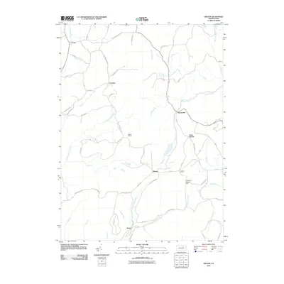
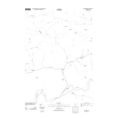
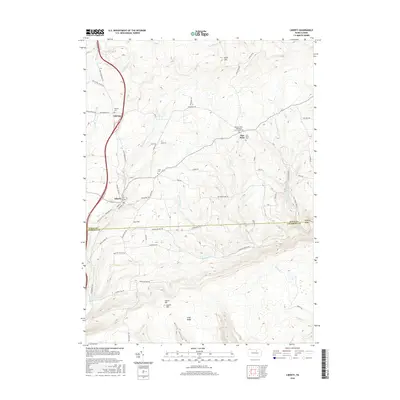
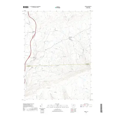
(30)- 2010 Map of Liberty, 2010 Print
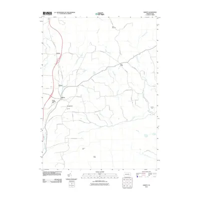 2010 Liberty2010 Print · USGSCovers McIntyre Township, including Liberty, Veilstown, and other nearby areas
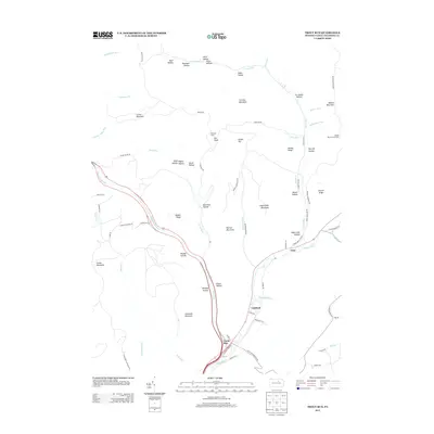
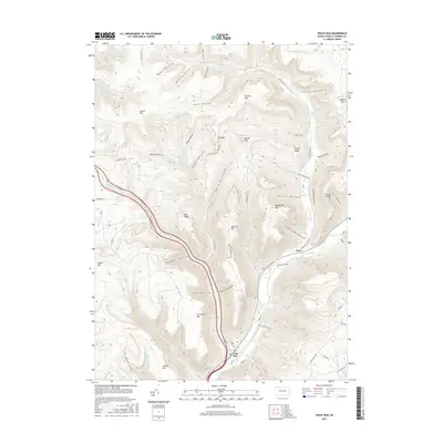
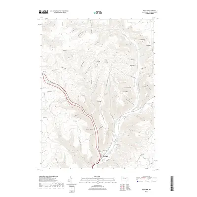
 - 2010 Map of Trout Run, 2010 Print
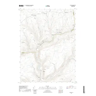
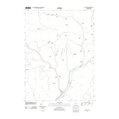 2010 Trout Run2010 Print · USGSCovers McIntyre Township, including Lewis Township, Caldwell, and other nearby areas
 - 2010 Map of Ralston, 2010 Print
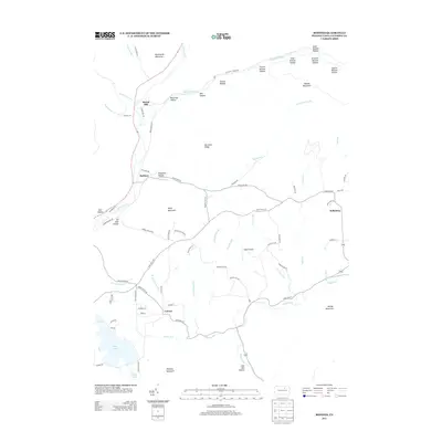
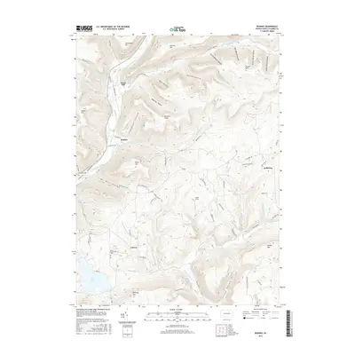
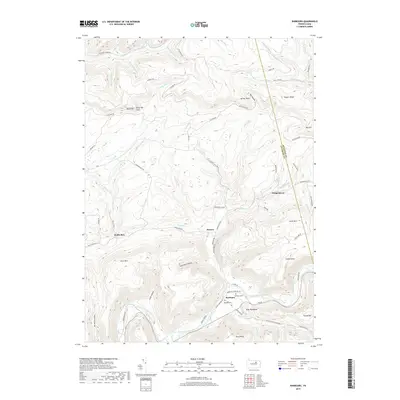
 2010 Ralston2010 Print · USGSCovers McIntyre Township, including South Union, Newelltown, and other nearby areas
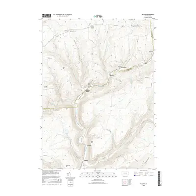
 - 2010 Map of Barbours, 2010 Print
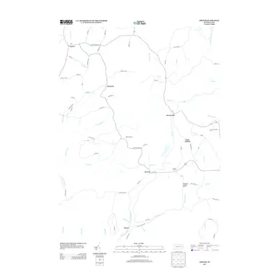
 2010 Barbours2010 Print · USGSCovers McIntyre Township, including Hillsgrove Township, Wallis Run, and other nearby areas
 - 2010 Map of Grover, 2010 Print
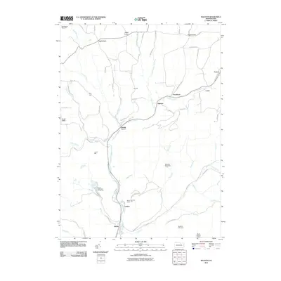
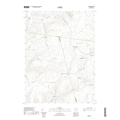
 2010 Grover2010 Print · USGSCovers McIntyre Township, including Leroy Township, Grover, and other nearby areas
 - 2010 Map of Bodines, 2010 Print
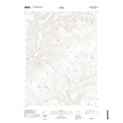
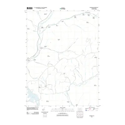 2010 Bodines2010 Print · USGSCovers McIntyre Township, including Lewis Township, Calvert, and other nearby areas
 - 2013 Map of Grover, 2013 Print
 2013 Grover2013 Print · USGSCovers McIntyre Township, including Leroy Township, Grover, and other nearby areas
 - 2013 Map of Bodines, 2013 Print
 2013 Bodines2013 Print · USGSCovers McIntyre Township, including Lewis Township, Calvert, and other nearby areas
 - 2013 Map of Barbours, 2013 Print
 2013 Barbours2013 Print · USGSCovers McIntyre Township, including Hillsgrove Township, Wallis Run, and other nearby areas
 - 2013 Map of Ralston, 2013 Print
 2013 Ralston2013 Print · USGSCovers McIntyre Township, including South Union, Newelltown, and other nearby areas
 - 2013 Map of Liberty, 2013 Print
 2013 Liberty2013 Print · USGSCovers McIntyre Township, including Liberty, Veilstown, and other nearby areas
 - 2013 Map of Trout Run, 2013 Print
 2013 Trout Run2013 Print · USGSCovers McIntyre Township, including Lewis Township, Caldwell, and other nearby areas
 - 2016 Map of Liberty, 2016 Print
 2016 Liberty2016 Print · USGSCovers McIntyre Township, including Liberty, Veilstown, and other nearby areas
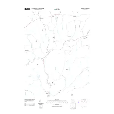
 - 2016 Map of Ralston, 2016 Print
 2016 Ralston2016 Print · USGSCovers McIntyre Township, including South Union, Newelltown, and other nearby areas
 - 2016 Map of Trout Run, 2016 Print
 2016 Trout Run2016 Print · USGSCovers McIntyre Township, including Lewis Township, Caldwell, and other nearby areas
 - 2016 Map of Grover, 2016 Print
 2016 Grover2016 Print · USGSCovers McIntyre Township, including Leroy Township, Grover, and other nearby areas
 - 2016 Map of Bodines, 2016 Print
 2016 Bodines2016 Print · USGSCovers McIntyre Township, including Lewis Township, Calvert, and other nearby areas
 - 2016 Map of Barbours, 2016 Print
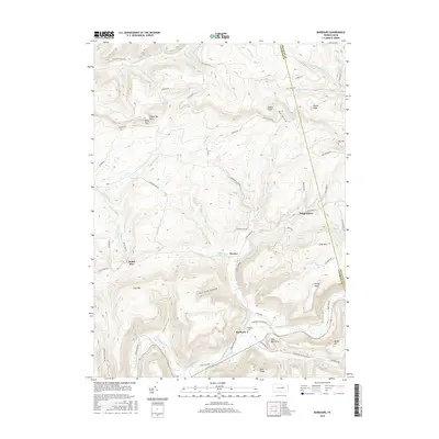 2016 Barbours2016 Print · USGSCovers McIntyre Township, including Hillsgrove Township, Wallis Run, and other nearby areas
 - 2019 Map of Ralston, 2019 Print
 2019 Ralston2019 Print · USGSCovers McIntyre Township, including South Union, Newelltown, and other nearby areas
 - 2019 Map of Barbours, 2019 Print
 2019 Barbours2019 Print · USGSCovers McIntyre Township, including Hillsgrove Township, Wallis Run, and other nearby areas
 - 2019 Map of Grover, 2019 Print
 2019 Grover2019 Print · USGSCovers McIntyre Township, including Leroy Township, Grover, and other nearby areas
 - 2019 Map of Bodines, 2019 Print
 2019 Bodines2019 Print · USGSCovers McIntyre Township, including Lewis Township, Calvert, and other nearby areas
 - 2019 Map of Trout Run, 2019 Print
 2019 Trout Run2019 Print · USGSCovers McIntyre Township, including Lewis Township, Caldwell, and other nearby areas
 - 2019 Map of Liberty, 2019 Print
 2019 Liberty2019 Print · USGSCovers McIntyre Township, including Liberty, Veilstown, and other nearby areas
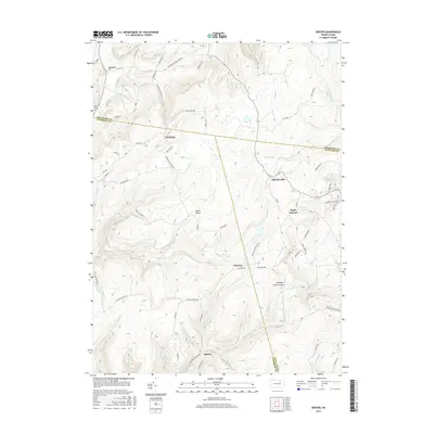
 - 2023 Map of Ralston, 2023 Print
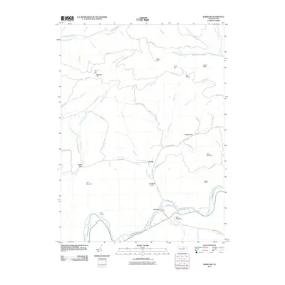
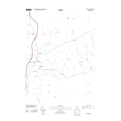
 2023 Ralston2023 Print · USGSNorthern Lycoming County settlements follow the path of Lycoming Creek in this contemporary survey of the Pennsylvania mountains. Genealogists can locate numerous burial sites such as Ralston Cem, Mcintyre Cem, and Newelltown Cem.
Showing maps 1-25 of 30
Top cities near McIntyre Township
- Canton historical maps
- Blossburg historical maps
- Leroy Township historical maps
- Hillsgrove Township historical maps
- Liberty historical maps
- Alba historical maps
Top neighborhoods of McIntyre Township
Frequently asked questions
- What are the different types of historical maps available for McIntyre Township?
- What is the oldest map of McIntyre Township?
- Where can I purchase historical maps of McIntyre Township for my home or office?
- Where can I download high-res historical maps of McIntyre Township?
- Are there historical topographic maps available for McIntyre Township?
- Is there historical aerial imagery available for McIntyre Township?
- Where are historical maps of McIntyre Township sourced from?