Old Maps of Crosby, Norwich Township
Explore 13 old maps of Crosby, spanning from 1948 to today. These high-resolution historic maps reveal how streets, neighborhoods, landmarks, and natural features evolved over time — perfect for genealogy, metal detecting, research, and local history exploration.
What you can do with these maps:
- See how Crosby changed over time: Compare historical maps to modern-day views to trace roads, homesites, rail lines & more.
- View detailed metadata: Each map includes creators, publishers, year, scale, and archive source.
- Overlay maps with satellite & LiDAR: Visualize the past alongside modern tools to explore terrain & human change.
- Trusted historical sources: Maps sourced from the USGS, Library of Congress, and other archives.
- Access maps your way: View online, download high-res files, or order prints for personal or research use.
Start exploring old maps of Crosby to uncover forgotten places, hidden landmarks, and the deep history beneath your feet.
Crosby, Norwich Township maps
(13)- 1948 Map of Crosby, 1952 Print
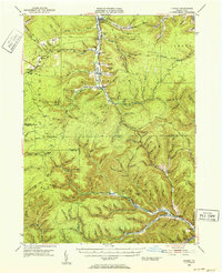 1948 Crosby1952 Print · USGSPost-war McKean and Cameron counties appear here as a landscape of mountain rail lines and valley settlements. Trace the Pennsylvania Railroad through Hamlin Sta, locate the Sweets Sch, or find family names near Clermont Cem.3 unique versions available
 - 1948 Map of Crosby, 1965 Print
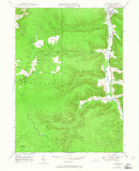 1948 Crosby1965 Print · USGSMcKean County at the end of the 1940s reveals a rugged landscape of narrow valley settlements and high-altitude pipe lines. Local historians can trace the rail sidings at Hamlin Sta and search for family roots at Norwich Cem or the isolated village of Betula.3 unique versions available
 - 1950 Map of Crosby
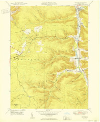 1950 Crosby1950 Print · USGSThe Potato Creek valley in McKean County is captured here at mid-century, following the river-and-rail corridor. Genealogists can trace family names and sites at Clermont, Hamlin Sta, and Norwich Cem, or follow the Pennsylvania railroad line.
 - 1957 Map of Warren, 1964 Print
 1957 Warren1964 Print · USGSThe northern Pennsylvania oil and timber country comes into focus in the mid-fifties, showing the region before modern highway expansions. Trace the industrial rail networks of the Pennsylvania RR and the early Allegheny River Reservoir near Warren and Oil City.4 unique versions available
 - 1958 Map of Warren
 1958 Warren1958 Print · USGSNorthern Pennsylvania’s timber and oil country is captured here during the late fifties, showing the interplay of industrial valleys and vast state forests. Genealogists can trace family connections across the Cornplanter Indian Reservation or through rail hubs like Oil City and Saint Marys.
 - 1959 Map of Warren
 1959 Warren1959 Print · USGSNorthern Pennsylvania's oil and timber country comes alive in this late-fifties study of the forest-clad plateaus. Trace the historic Cornplanter (Indian Reservation), the sprawling Oil Field, and the rail lines of the Pennsylvania RR.2 unique versions available
 - 1971 Map of Warren
 1971 Warren1971 Print · USGSNorth Central Pennsylvania is captured here in the early seventies, showing a landscape defined by industrial centers and massive state forests. Genealogists and historians can trace the rail lines of the Penn Central and Erie Lackawanna connecting towns like Warren, Kane, and Du Bois.
 - 1980 Map of Bradford, 1982 Print
 1980 Bradford1982 Print · USGSNorthern Pennsylvania's oil country and deep forests are captured here during the 1980s. Genealogists and researchers can trace rail-side settlements like Kushequa, Gifford, and Lewis Run or locate specific Oil and Gas Field sites across the plateau.
 - 2010 Map of Crosby, 2010 Print
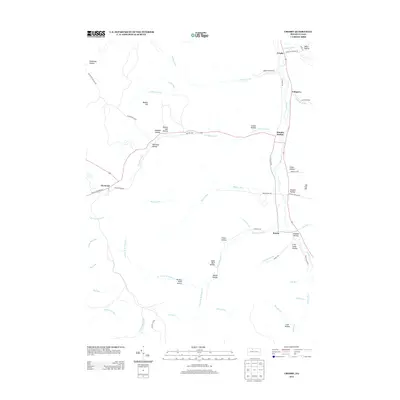
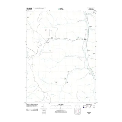 2010 Crosby2010 Print · USGSCovers Crosby, including Norwich Township, Betula, and other nearby areas
 - 2013 Map of Crosby, 2013 Print
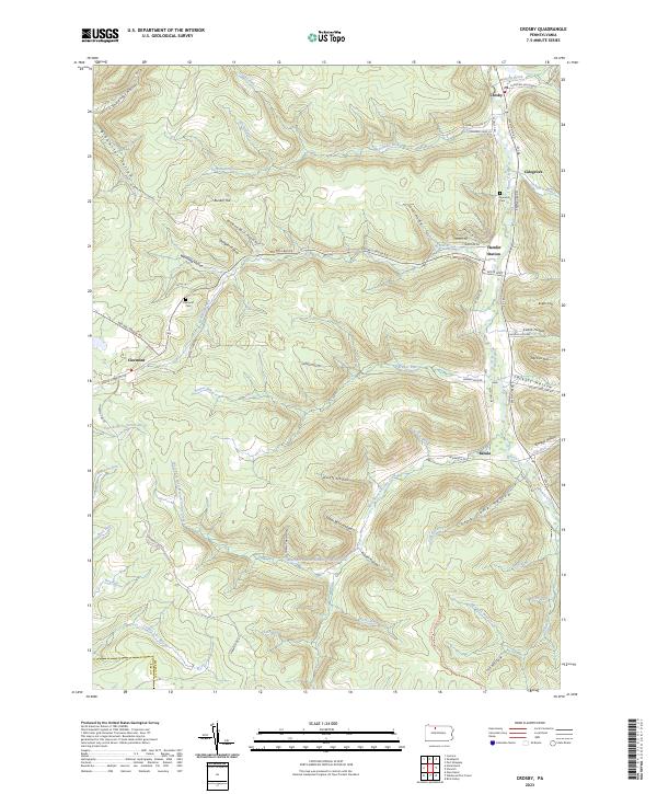
 2013 Crosby2013 Print · USGSCovers Crosby, including Norwich Township, Betula, and other nearby areas
 - 2016 Map of Crosby, 2016 Print
 2016 Crosby2016 Print · USGSCovers Crosby, including Norwich Township, Betula, and other nearby areas
 - 2019 Map of Crosby, 2019 Print
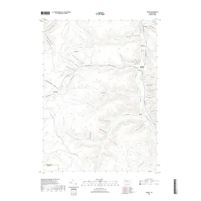 2019 Crosby2019 Print · USGSCovers Crosby, including Norwich Township, Betula, and other nearby areas
 - 2023 Map of Crosby, 2023 Print
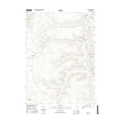
 2023 Crosby2023 Print · USGSMcKean County's deep hollows and creek-side hamlets are documented in this modern survey of the Pennsylvania high country. Local historians can trace the foundations of settlements like Clermont and Betula or locate family burial sites at Norwich Cem.
End of results
Showing maps 1-13 of 13
Top cities near Crosby
- Saint Marys historical maps
- Bradford historical maps
- Lafayette Township historical maps
- Port Allegany historical maps
- Liberty Township historical maps
- Smethport historical maps
See more
Frequently asked questions
- What are the different types of historical maps available for Crosby?
- What is the oldest map of Crosby?
- Where can I purchase historical maps of Crosby for my home or office?
- Where can I download high-res historical maps of Crosby?
- Are there historical topographic maps available for Crosby?
- Is there historical aerial imagery available for Crosby?
- Where are historical maps of Crosby sourced from?