Old Maps of Delaware Township, Pennsylvania for Academic Research
Study the evolution of Delaware Township with 30 high-resolution historic maps. Whether you're teaching, researching, or modeling changes in land use, these maps provide essential visual documentation of urban, environmental, and geographic change.
- Analyze long-term change: Track patterns in development, transportation, and natural features.
- Ideal for environmental or urban studies: Support academic projects with primary historical map data.
- Use in the classroom or lab: Educators and researchers rely on these maps to bring historical context to life.
These maps are a powerful tool for teaching, research, and visualizing how Delaware Township has changed over the decades.
Delaware Township, PA maps
(30)- 1924 Map of Milton
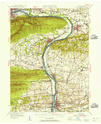
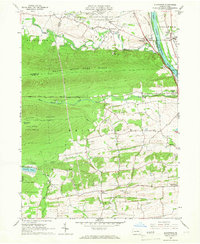
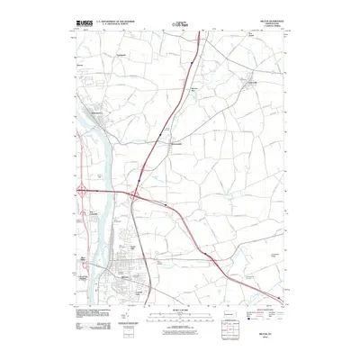
 1924 Milton1924 Print · USGSNorthumberland and Lycoming counties thrived along the river during the 1920s, dominated by a dense network of mountain ridges and rail corridors. Genealogists can locate dozens of rural landmarks, from the Old Furnace to the Stone Church and Pioneer School.4 unique versions available
 - 1953 Map of Milton, 1956 Print
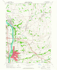
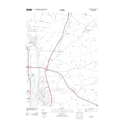
 1953 Milton1956 Print · USGSThe Susquehanna Valley thrives during the early fifties, defined by its river-town industries and coal-hauling rail lines. Genealogists can trace family names through country landmarks like Stone Church, Old Furnace, and the U S Military Reservation.2 unique versions available
 - 1954 Map of Williamsport
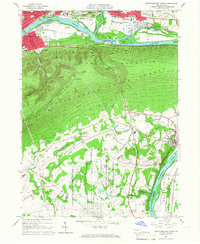
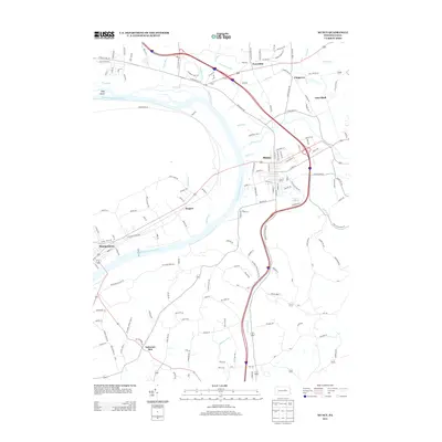
 1954 Williamsport1954 Print · USGSNorth-central Pennsylvania in the mid-fifties is defined by the winding West Branch Susquehanna River and its industrial valley. Local historians can trace the massive Susquehanna Ordnance Depot and the extensive rail networks of the Pennsylvania Railroad.
 - 1960 Map of Williamsport
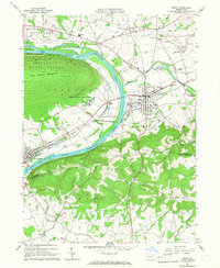
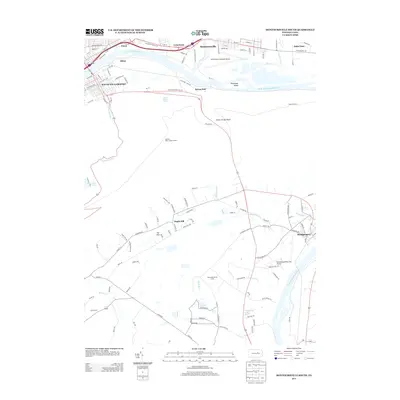
 1960 Williamsport1960 Print · USGSNorth-central Pennsylvania in the mid-twentieth century was a vital corridor of rail and river industry stretching from the New York line to the coal regions. Genealogists can trace the rail networks of the Pennsylvania RR and Lehigh Valley RR connecting towns like Williamsport, Towanda, and Lock Haven.
 - 1962 Map of Williamsport, 1966 Print
 1962 Williamsport1966 Print · USGSNorth-central Pennsylvania was a landscape of industrial river hubs and vast state woodlands in the early sixties. Researchers can trace the path of the Pennsylvania Railroad through Williamsport and explore the remote reaches of Bucktail State Park.5 unique versions available
 - 1965 Map of Williamsport
 1965 Williamsport1965 Print · USGSNorth-central Pennsylvania in the mid-1960s is defined by the industrial river towns and vast timberlands of the Allegheny Plateau. Researchers can trace historic rail lines like the Erie Lackawanna and Reading as they thread through Williamsport, Lock Haven, and Jersey Shore.
 - 1965 Map of Milton, 1966 Print
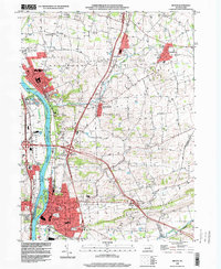
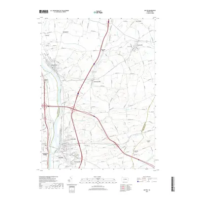
 1965 Milton1966 Print · USGSThe Susquehanna River valley and its industrial hubs are seen here in the mid-sixties, capturing the rail-and-river network of Northumberland and Union counties. Researchers can locate many family landmarks, including Milton Cemetery, the Milton Airport, and the Warrior Run High School.4 unique versions available
 - 1965 Map of Montoursville South, 1967 Print
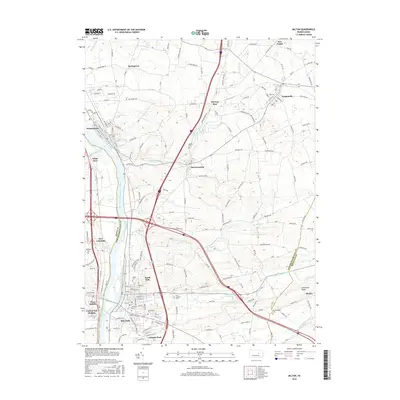
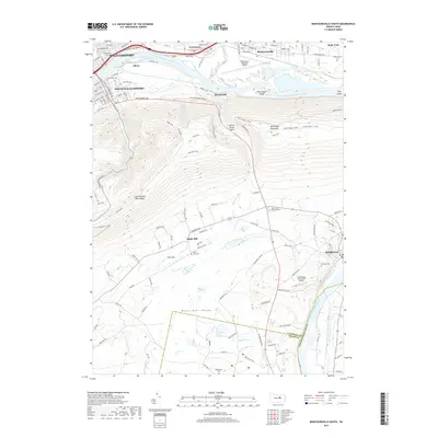
 1965 Montoursville South1967 Print · USGSLycoming and Union counties are shown in the mid-1960s, documenting the corridor from Williamsport to the prison camp at Allenwood. Trace genealogy and local landmarks from Mt Zion Ch and Washington Cem to the early Reading rail lines.4 unique versions available
 - 1965 Map of Muncy, 1967 Print
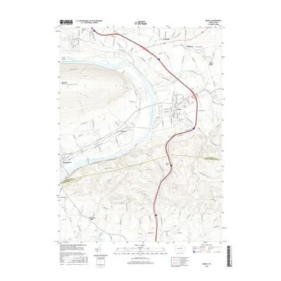
 1965 Muncy1967 Print · USGSThe Susquehanna River valley near Muncy in the mid-1960s was a hub of rail transport and state infrastructure. Researchers can locate the State Correctional Institution, trace the Reading railroad corridor, or find family markers in Muncy Cemetery and Clinton Cemetery.4 unique versions available
 - 1965 Map of Allenwood, 1967 Print
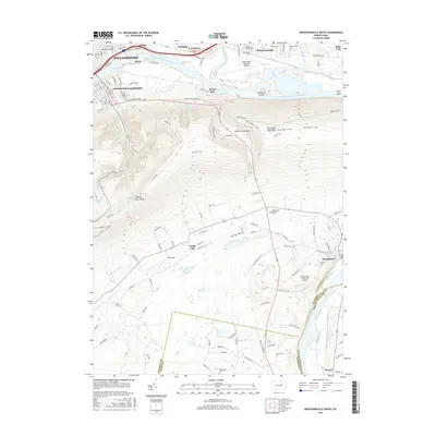
 1965 Allenwood1967 Print · USGSThe Susquehanna River valley and the slopes of the Bald Eagle State Forest are captured here in the mid-sixties. Genealogists and local historians can trace the foundations of Kelly Crossroads, find the Washington Cem, and locate landmarks like the Allenwood Prison Camp.3 unique versions available
 - 1966 Map of Williamsport
 1966 Williamsport1966 Print · USGSThe Susquehanna Valley was a hub of transit and industry in the mid-seventies, where the river's West Branch connected major college towns and timberlands. Researchers can trace historical rail lines like the Reading or locate regional landmarks from Jersey Shore to Ricketts Glen State Park.
 - 1984 Map of Williamsport East, 1985 Print
 1984 Williamsport East1985 Print · USGSThe Susquehanna River valley and Allegheny highlands come together in this mid-eighties survey of central Pennsylvania. Trace family roots at Muncy Cem or locate institutional landmarks like Lycoming College and the State Correctional Institution at Retreat.2 unique versions available
 - 1994 Map of Montoursville South, 1996 Print
 1994 Montoursville South1996 Print · USGSLycoming County in the mid-1990s shows a complex landscape where the Susquehanna River valley meets the northern Appalachian ridges. Researchers can trace historic riverfront growth and institutional sites like the Allenwood Prison Camp and the Pennsylvania College of Technology.
 - 1998 Map of Milton, 2000 Print
 1998 Milton2000 Print · USGSNorthumberland County at the close of the century shows a landscape of river-fronting boroughs and well-preserved rural townships. Family historians can locate several burial grounds like Harmony Cemetery and Chillisquaque Cem or landmarks such as Warrior Run High Sch.
 - 2010 Map of Montoursville South, 2010 Print
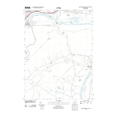 2010 Montoursville South2010 Print · USGSCovers Delaware Township, including Williamsport, South Williamsport, and other nearby areas
 - 2010 Map of Muncy, 2010 Print
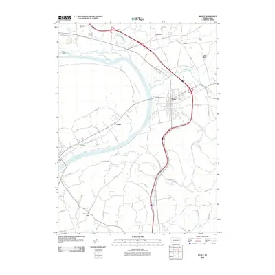 2010 Muncy2010 Print · USGSCovers Delaware Township, including Lewis Township, Lime Bluff, and other nearby areas
 - 2010 Map of Milton, 2010 Print
 2010 Milton2010 Print · USGSCovers Delaware Township, including White Deer Township, Turbotville, and other nearby areas
 - 2013 Map of Milton, 2013 Print
 2013 Milton2013 Print · USGSCovers Delaware Township, including White Deer Township, Turbotville, and other nearby areas
 - 2013 Map of Muncy, 2013 Print
 2013 Muncy2013 Print · USGSCovers Delaware Township, including Lewis Township, Lime Bluff, and other nearby areas
 - 2013 Map of Montoursville South, 2013 Print
 2013 Montoursville South2013 Print · USGSCovers Delaware Township, including Williamsport, South Williamsport, and other nearby areas
 - 2016 Map of Muncy, 2016 Print
 2016 Muncy2016 Print · USGSCovers Delaware Township, including Lewis Township, Lime Bluff, and other nearby areas
 - 2016 Map of Milton, 2016 Print
 2016 Milton2016 Print · USGSCovers Delaware Township, including White Deer Township, Turbotville, and other nearby areas
 - 2016 Map of Montoursville South, 2016 Print
 2016 Montoursville South2016 Print · USGSCovers Delaware Township, including Williamsport, South Williamsport, and other nearby areas
 - 2019 Map of Milton, 2019 Print
 2019 Milton2019 Print · USGSCovers Delaware Township, including White Deer Township, Turbotville, and other nearby areas
 - 2019 Map of Montoursville South, 2019 Print
 2019 Montoursville South2019 Print · USGSCovers Delaware Township, including Williamsport, South Williamsport, and other nearby areas
Showing maps 1-25 of 30
Top cities near Delaware Township
- Williamsport historical maps
- South Williamsport historical maps
- Lewisburg historical maps
- Montoursville historical maps
- White Deer Township historical maps
- Kenmar historical maps
See more
Top neighborhoods of Delaware Township
- Springtown historical maps
- Warrior Run historical maps
- Delaware Run historical maps
- Dewart historical maps
Frequently asked questions
- What are the different types of historical maps available for Delaware Township?
- What is the oldest map of Delaware Township?
- Where can I purchase historical maps of Delaware Township for my home or office?
- Where can I download high-res historical maps of Delaware Township?
- Are there historical topographic maps available for Delaware Township?
- Is there historical aerial imagery available for Delaware Township?
- Where are historical maps of Delaware Township sourced from?