Old Maps of Lewis Township, Pennsylvania for Genealogy
Trace your family roots with 35 historic maps of Lewis Township. These high-res maps reveal old neighborhoods, homesites, landmarks, and streets — helping you uncover where your ancestors lived and how the area evolved over time.
- Explore historic neighborhoods: Identify where your relatives may have lived in the 1800s or 1900s.
- Compare maps over time: Trace the changes in streets, buildings, and landmarks for multi-generational research.
- Perfect for genealogy & ancestry research: Used by family historians and researchers to map out lineage and migration.
These maps are an incredible resource for exploring your personal connection to Lewis Township's past.
Lewis Township, PA maps
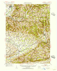
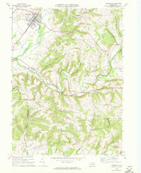
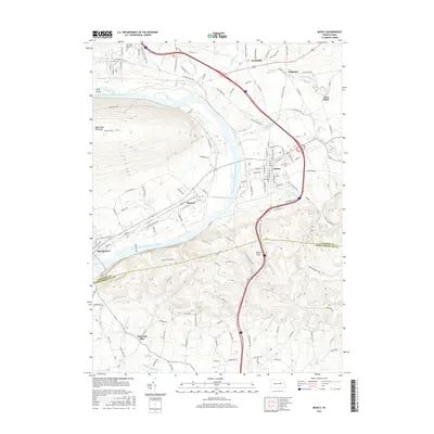
(35)- 1924 Map of Milton
 1924 Milton1924 Print · USGSNorthumberland and Lycoming counties thrived along the river during the 1920s, dominated by a dense network of mountain ridges and rail corridors. Genealogists can locate dozens of rural landmarks, from the Old Furnace to the Stone Church and Pioneer School.4 unique versions available
 - 1935 Map of Hughesville
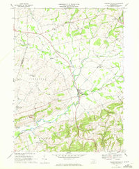
 1935 Hughesville1935 Print · USGSThe rural landscapes of Lycoming and Columbia counties are captured here in the mid-1930s, documenting a time when small schoolhouses and family farms still defined the region. Researchers can trace the Pennsylvania rail line and locate ancestral sites like Wintersteen Sch, Exchange, and Washingtonville.3 unique versions available
 - 1953 Map of Hughesville, 1956 Print
 1953 Hughesville1956 Print · USGSThe rural heart of Lycoming and Columbia Counties is captured here in the early fifties, showing a landscape defined by small townships and creek-side settlements. Researchers can locate vanished rural landmarks like Frenchtown Sch, Hendrickson Ch, and the streets of Washingtonville or Jerseytown.3 unique versions available
 - 1953 Map of Milton, 1956 Print
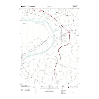
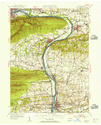 1953 Milton1956 Print · USGSThe Susquehanna Valley thrives during the early fifties, defined by its river-town industries and coal-hauling rail lines. Genealogists can trace family names through country landmarks like Stone Church, Old Furnace, and the U S Military Reservation.2 unique versions available
 - 1954 Map of Williamsport
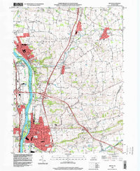
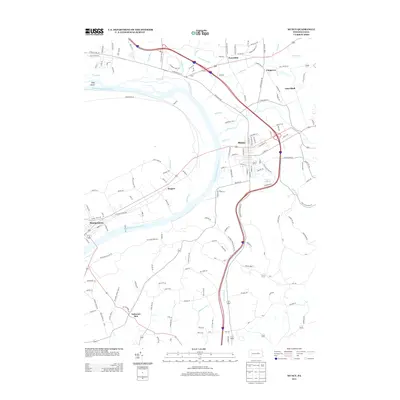
 1954 Williamsport1954 Print · USGSNorth-central Pennsylvania in the mid-fifties is defined by the winding West Branch Susquehanna River and its industrial valley. Local historians can trace the massive Susquehanna Ordnance Depot and the extensive rail networks of the Pennsylvania Railroad.
 - 1960 Map of Williamsport
 1960 Williamsport1960 Print · USGSNorth-central Pennsylvania in the mid-twentieth century was a vital corridor of rail and river industry stretching from the New York line to the coal regions. Genealogists can trace the rail networks of the Pennsylvania RR and Lehigh Valley RR connecting towns like Williamsport, Towanda, and Lock Haven.
 - 1962 Map of Williamsport, 1966 Print
 1962 Williamsport1966 Print · USGSNorth-central Pennsylvania was a landscape of industrial river hubs and vast state woodlands in the early sixties. Researchers can trace the path of the Pennsylvania Railroad through Williamsport and explore the remote reaches of Bucktail State Park.5 unique versions available
 - 1965 Map of Williamsport
 1965 Williamsport1965 Print · USGSNorth-central Pennsylvania in the mid-1960s is defined by the industrial river towns and vast timberlands of the Allegheny Plateau. Researchers can trace historic rail lines like the Erie Lackawanna and Reading as they thread through Williamsport, Lock Haven, and Jersey Shore.
 - 1965 Map of Milton, 1966 Print
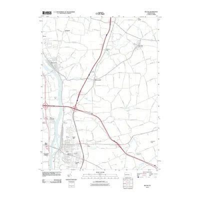
 1965 Milton1966 Print · USGSThe Susquehanna River valley and its industrial hubs are seen here in the mid-sixties, capturing the rail-and-river network of Northumberland and Union counties. Researchers can locate many family landmarks, including Milton Cemetery, the Milton Airport, and the Warrior Run High School.4 unique versions available
 - 1965 Map of Muncy, 1967 Print
 1965 Muncy1967 Print · USGSThe Susquehanna River valley near Muncy in the mid-1960s was a hub of rail transport and state infrastructure. Researchers can locate the State Correctional Institution, trace the Reading railroad corridor, or find family markers in Muncy Cemetery and Clinton Cemetery.4 unique versions available
 - 1966 Map of Williamsport
 1966 Williamsport1966 Print · USGSThe Susquehanna Valley was a hub of transit and industry in the mid-seventies, where the river's West Branch connected major college towns and timberlands. Researchers can trace historical rail lines like the Reading or locate regional landmarks from Jersey Shore to Ricketts Glen State Park.
 - 1968 Map of Hughesville, 1972 Print
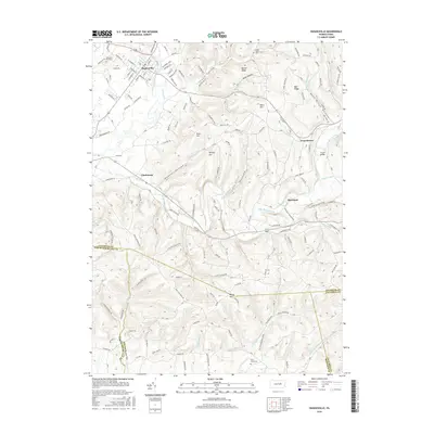
 1968 Hughesville1972 Print · USGSHughesville and its rural surroundings in Lycoming County appear here during the late sixties as a network of ridge-top farms and valley hamlets. Researchers can trace local heritage through sites like Moreland Community Ch, Pleasant Hill Cem, and the old Fairgrounds.3 unique versions available
 - 1969 Map of Washingtonville, 1972 Print
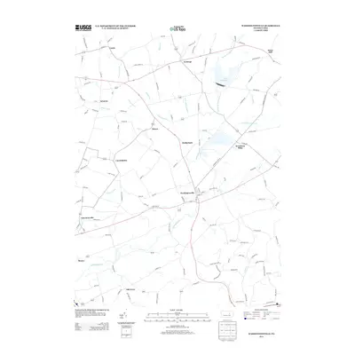
 1969 Washingtonville1972 Print · USGSMontour County agriculture and rural life are preserved here in the late sixties as the region maintained its traditional crossroad hamlets. Researchers can locate family landmarks like the Billmeyer Cem, the historic Covered Bridge, and schools including DeLong Memorial Sch.4 unique versions available
 - 1984 Map of Williamsport East, 1985 Print
 1984 Williamsport East1985 Print · USGSThe Susquehanna River valley and Allegheny highlands come together in this mid-eighties survey of central Pennsylvania. Trace family roots at Muncy Cem or locate institutional landmarks like Lycoming College and the State Correctional Institution at Retreat.2 unique versions available
 - 1998 Map of Milton, 2000 Print
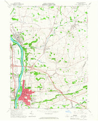
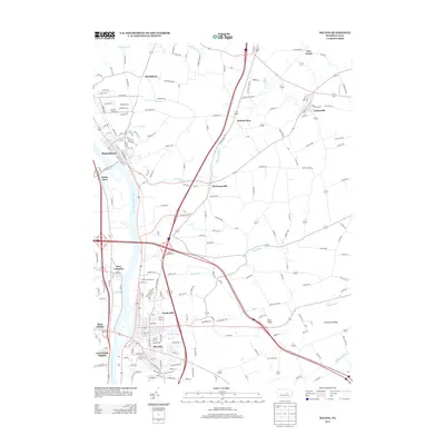
 1998 Milton2000 Print · USGSNorthumberland County at the close of the century shows a landscape of river-fronting boroughs and well-preserved rural townships. Family historians can locate several burial grounds like Harmony Cemetery and Chillisquaque Cem or landmarks such as Warrior Run High Sch.
 - 2010 Map of Washingtonville, 2010 Print
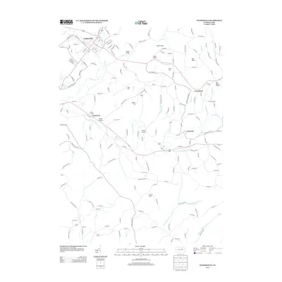
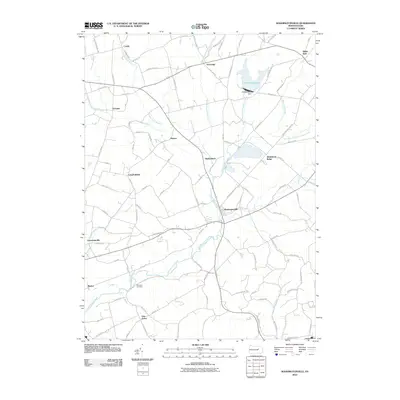 2010 Washingtonville2010 Print · USGSCovers Lewis Township, including Washingtonville, Valley Township, and other nearby areas
 - 2010 Map of Hughesville, 2010 Print
 2010 Hughesville2010 Print · USGSCovers Lewis Township, including Moreland Township, Clarkstown, and other nearby areas
 - 2010 Map of Muncy, 2010 Print
 2010 Muncy2010 Print · USGSCovers Lewis Township, including Lime Bluff, Saegers, and other nearby areas
 - 2010 Map of Milton, 2010 Print
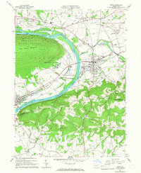
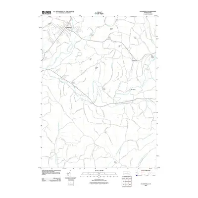
 2010 Milton2010 Print · USGSCovers Lewis Township, including White Deer Township, Turbotville, and other nearby areas
 - 2013 Map of Milton, 2013 Print
 2013 Milton2013 Print · USGSCovers Lewis Township, including White Deer Township, Turbotville, and other nearby areas
 - 2013 Map of Hughesville, 2013 Print
 2013 Hughesville2013 Print · USGSCovers Lewis Township, including Moreland Township, Clarkstown, and other nearby areas
 - 2013 Map of Muncy, 2013 Print
 2013 Muncy2013 Print · USGSCovers Lewis Township, including Lime Bluff, Saegers, and other nearby areas
 - 2013 Map of Washingtonville, 2013 Print
 2013 Washingtonville2013 Print · USGSCovers Lewis Township, including Washingtonville, Valley Township, and other nearby areas
 - 2016 Map of Hughesville, 2016 Print
 2016 Hughesville2016 Print · USGSCovers Lewis Township, including Moreland Township, Clarkstown, and other nearby areas
 - 2016 Map of Muncy, 2016 Print
 2016 Muncy2016 Print · USGSCovers Lewis Township, including Lime Bluff, Saegers, and other nearby areas
Showing maps 1-25 of 35
Top cities near Lewis Township
- Williamsport historical maps
- Lewisburg historical maps
- Montoursville historical maps
- White Deer Township historical maps
- Kenmar historical maps
- Riverside historical maps
See more
Top neighborhoods of Lewis Township
Frequently asked questions
- What are the different types of historical maps available for Lewis Township?
- What is the oldest map of Lewis Township?
- Where can I purchase historical maps of Lewis Township for my home or office?
- Where can I download high-res historical maps of Lewis Township?
- Are there historical topographic maps available for Lewis Township?
- Is there historical aerial imagery available for Lewis Township?
- Where are historical maps of Lewis Township sourced from?