Old Maps of Matamoras, Pennsylvania
Explore 28 old maps of Matamoras, spanning from 1906 to today. These high-resolution historic maps reveal how streets, neighborhoods, landmarks, and natural features evolved over time — perfect for genealogy, metal detecting, research, and local history exploration.
What you can do with these maps:
- See how Matamoras changed over time: Compare historical maps to modern-day views to trace roads, homesites, rail lines & more.
- View detailed metadata: Each map includes creators, publishers, year, scale, and archive source.
- Overlay maps with satellite & LiDAR: Visualize the past alongside modern tools to explore terrain & human change.
- Trusted historical sources: Maps sourced from the USGS, Library of Congress, and other archives.
- Access maps your way: View online, download high-res files, or order prints for personal or research use.
Start exploring old maps of Matamoras to uncover forgotten places, hidden landmarks, and the deep history beneath your feet.
Matamoras, PA maps
(28)- 1906 Map of Port Jervis, 1956 Print
 1906 Port Jervis1956 Print · USGSPort Jervis sits at the confluence of the Delaware and Neversink rivers during the height of the railroad era. Genealogists and local historians can trace the paths of the Erie RR, find vanished hamlets like Logtown, and locate the Old Bolton Basin along the river.
 - 1908 Map of Port Jervis
 1908 Port Jervis1908 Print · USGSThe tri-state border region comes alive at the start of the twentieth century, focused on the rail-and-river hub of Port Jervis. Genealogists and historians can trace family locations across Matamoras, Unionville, and Westtown, or locate landmarks like Tristate Rock and Old Bolton Basin.4 unique versions available
 - 1942 Map of Port Jervis North, 1958 Print
 1942 Port Jervis North1958 Print · USGSThe tri-state border region near Port Jervis is shown here during the early war years, when the local economy centered on the river and heavy rail. Genealogists can trace family footprints near Sparrow Bush, Millrift, and several rural schoolhouses like Huguenot Sch No 2.2 unique versions available
 - 1943 Map of Port Jervis North
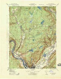 1943 Port Jervis North1943 Print · USGSThe Delaware River valley north of Port Jervis appears here in the early 1940s, showing a landscape defined by mountain ridges and river industry. Genealogists can locate family landmarks like Eddys Farm or trace the early footprint of the Huguenot Airport and the Deerpark Brewery.
 - 1943 Map of Port Jervis South
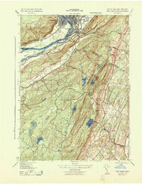 1943 Port Jervis South1943 Print · USGSThe tri-state borderlands during the Second World War reveal a landscape of river-valley industry and upland retreats. Researchers can trace the ERIE railroad through Port Jervis or locate historical sites like the Life Magazine Camp and Tristate Bible Camp.3 unique versions available
 - 1949 Map of Port Jervis South
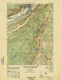 1949 Port Jervis South1949 Print · USGSThe Tri-State area at the close of the 1940s reveals a landscape of river-valley commerce and upland recreation. Genealogists and local historians can trace family-named landmarks and rural hubs like River School No 1, Duttonville, and the Life Magazine Camp.
 - 1950 Map of Scranton, 1952 Print
 1950 Scranton1952 Print · USGSMid-century Northeast Pennsylvania and the Hudson Valley come alive in this survey of the tri-state region. Genealogists and historians can trace the dense rail networks of the Erie RR and DL&W RR between industrial hubs like Scranton and Wilkes-Barre.
 - 1953 Map of Scranton
 1953 Scranton1953 Print · USGSNortheastern Pennsylvania and the Catskills are shown in great detail during the early fifties, a time when rail lines and river valleys dictated the region's growth. Genealogists and historians can trace the industrial hearts of Scranton and Wilkes-Barre or locate remote landmarks like High Point and Lake Wallenpaupack.
 - 1953 Map of Port Jervis South
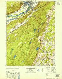 1953 Port Jervis South1953 Print · USGSThe Tri-State region comes alive in this mid-century survey of the Delaware River valley where three states meet. Genealogists and local historians can trace family-named sites and vanished institutions from Rock View House and River School No 1 to the Tristates Bible Camp.
 - 1959 Map of Scranton
 1959 Scranton1959 Print · USGSThe northern coalfields and the Hudson Valley meet in this mid-century survey of the Pennsylvania and New York borderlands. Genealogists and historians can trace the intricate rail networks of the Erie Railroad and the vast waters of Lake Wallenpaupack.2 unique versions available
 - 1962 Map of Scranton, 1977 Print
 1962 Scranton1977 Print · USGSThe industrial heart of eastern Pennsylvania and the New York Catskills are captured here in the early sixties. Genealogists and historians can trace the dense valley settlements from Scranton to Wilkes-Barre and the rail lines of the Erie Lackawanna Railroad.2 unique versions available
 - 1965 Map of Scranton
 1965 Scranton1965 Print · USGSThe tri-state highlands of Pennsylvania, New York, and New Jersey come alive in the mid-sixties as industry and recreation converge. Trace the intricate rail lines of the Erie Lackawanna RR or locate landmarks like the U S Military Academy.2 unique versions available
 - 1969 Map of Port Jervis North, 1972 Print
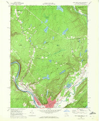 1969 Port Jervis North1972 Print · USGSThe Port Jervis area in the late sixties served as a vital river and rail crossroads where New York, Pennsylvania, and New Jersey meet. Researchers can trace family sites in Germantown, locate the Agudath Achim Cem, or follow the Erie Lackawanna Railroad through the valley.3 unique versions available
 - 1969 Map of Port Jervis South, 1972 Print
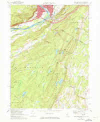 1969 Port Jervis South1972 Print · USGSThe tri-state border region comes alive in the late sixties, highlighting the urban density of Port Jervis against the crest of the Kittatinny Mountain. Genealogists can find St Marys Cem and Seeley Cem, while hikers can trace the Appalachian Trail through High Point State Park.3 unique versions available
 - 1986 Map of Middletown
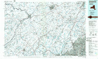 1986 Middletown1986 Print · USGSThe Tri-State region comes alive in the mid-1980s, documenting the corridor from the Hudson River to the Delaware Water Gap. Researchers can trace the sprawling grounds of West Point, the extensive Conrail rail network, and early suburban growth around Middletown and Suffern.2 unique versions available
 - 1992 Map of Port Jervis North, 1994 Print
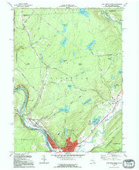 1992 Port Jervis North1994 Print · USGSThe tri-state border region comes alive in this late twentieth-century study of the confluence of the Delaware and Neversink Rivers. Researchers can trace the path of the Erie Lackawanna railroad or locate family sites at Paradise Cem and the village of Sparrow Bush.
 - 1995 Map of Port Jervis South, 2000 Print
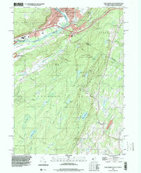 1995 Port Jervis South2000 Print · USGSThe tri-state border region around the turn of the millennium shows the dense riverfront settlement of Port Jervis giving way to the high ridges of Kittatinny Mountain. Researchers can trace local landmarks like St Francis Hospital or explore the wilderness paths of the Appalachian Trail.
 - 1997 Map of Port Jervis North, 1999 Print
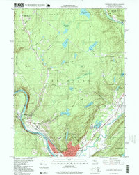 1997 Port Jervis North1999 Print · USGSPort Jervis sits at the vital junction of the Delaware and Neversink rivers in the late 1990s, where New York meets Pennsylvania. Researchers can trace the industrial footprint of the Erie RR and locate local landmarks like Paradise Cem and the Hawks Nest.
 - 2010 Map of Port Jervis North, 2010 Print
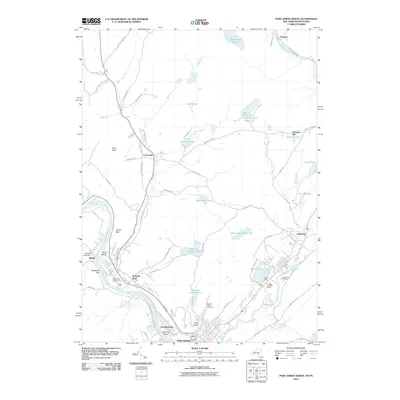 2010 Port Jervis North2010 Print · USGSPort Jervis and the surrounding river valleys are shown in detail during the early twenty-first century. Researchers can trace local landmarks like Agudath Achim Cemetery, the Mill Rift Pond Dam, and established communities such as Sparrow Bush and Huguenot.
 - 2011 Map of Port Jervis South, 2011 Print
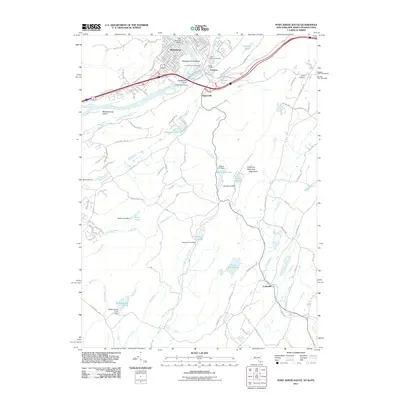 2011 Port Jervis South2011 Print · USGSThe tri-state border region of New Jersey, New York, and Pennsylvania comes alive in this 2011 study of the river confluence and mountain ridges. Researchers can trace the neighborhoods of Matamoras and Tristates, locate family sites at Laurel Grove Cemetery, or survey the high ground at Kittatinny Mountain High Point.
 - 2013 Map of Port Jervis North, 2013 Print
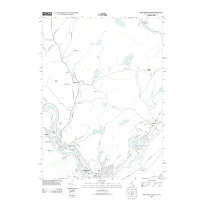 2013 Port Jervis North2013 Print · USGSPort Jervis and the surrounding valley are captured here just over a decade ago, showcasing a region shaped by the Delaware and Neversink rivers. Genealogists and local researchers can trace family landmarks at Agudath Achim Cem or explore established communities like Sparrow Bush and Huguenot.
 - 2013 Map of Port Jervis South, 2013 Print
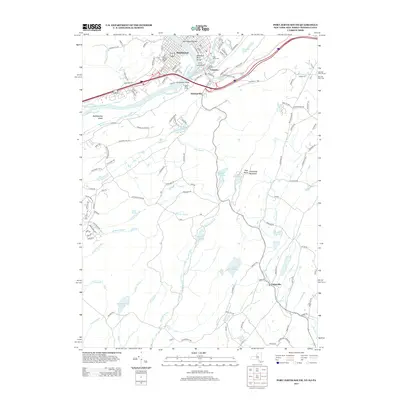 2013 Port Jervis South2013 Print · USGSThe tri-state border region comes into focus in this modern survey, capturing the convergence of the Delaware and Neversink rivers. Genealogists and local historians can trace family sites at Saint Marys Cem or explore the riverfront settlements of Matamoras and Tristates.
 - 2016 Map of Port Jervis South, 2016 Print
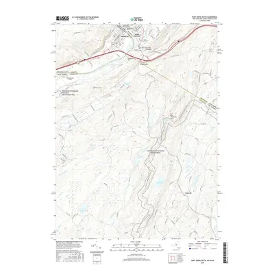 2016 Port Jervis South2016 Print · USGSThe tri-state boundary comes alive in the mid-2010s where the Delaware and Neversink rivers meet at Port Jervis. Genealogists and hikers can trace the Appalachian National Scenic Trail past historic burial grounds like Laurel Grove Cem and Seeley Cem.
 - 2016 Map of Port Jervis North, 2016 Print
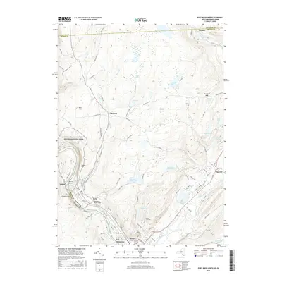 2016 Port Jervis North2016 Print · USGSThe tri-state confluence area of the Delaware and Neversink rivers is shown here during a period of modern development and natural preservation. Researchers can trace local lineage at the Agudath Achim Cem or explore the rugged river corridor near Hawks Nest and Sparrow Bush.
 - 2019 Map of Port Jervis South, 2019 Print
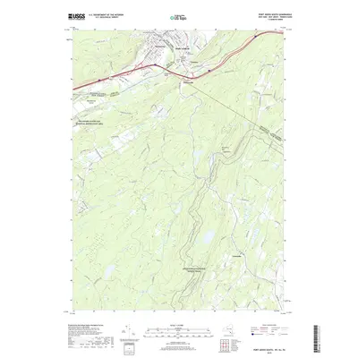 2019 Port Jervis South2019 Print · USGSThe tri-state border region comes alive in this survey of the Delaware River valley and the Kittatinny ridges. Genealogists can locate several local burial grounds including Saint Marys Cem and Seelyey Cem or trace the rural roads connecting Colesville and Matamoras.
Showing maps 1-25 of 28
Frequently asked questions
- What are the different types of historical maps available for Matamoras?
- What is the oldest map of Matamoras?
- Where can I purchase historical maps of Matamoras for my home or office?
- Where can I download high-res historical maps of Matamoras?
- Are there historical topographic maps available for Matamoras?
- Is there historical aerial imagery available for Matamoras?
- Where are historical maps of Matamoras sourced from?