Old Maps of Hegins Township, Pennsylvania
Explore 52 old maps of Hegins Township, spanning from 1892 to today. These high-resolution historic maps reveal how streets, neighborhoods, landmarks, and natural features evolved over time — perfect for genealogy, metal detecting, research, and local history exploration.
What you can do with these maps:
- See how Hegins Township changed over time: Compare historical maps to modern-day views to trace roads, homesites, rail lines & more.
- View detailed metadata: Each map includes creators, publishers, year, scale, and archive source.
- Overlay maps with satellite & LiDAR: Visualize the past alongside modern tools to explore terrain & human change.
- Trusted historical sources: Maps sourced from the USGS, Library of Congress, and other archives.
- Access maps your way: View online, download high-res files, or order prints for personal or research use.
Start exploring old maps of Hegins Township to uncover forgotten places, hidden landmarks, and the deep history beneath your feet.
Hegins Township, PA maps
(52)- 1892 Map of Lykens
 1892 Lykens1892 Print · USGSDauphin and Schuylkill counties are shown here in the late nineteenth century as the coal and rail industries shaped the valley floors. Genealogists can trace family roots in mining centers like Williamstown and Lykens or agricultural hamlets such as Rough and Ready.2 unique versions available
 - 1892 Map of Pine Grove
 1892 Pine Grove1892 Print · USGSSchuylkill County coal country comes alive in the late 1800s, showing a landscape defined by sharp ridges and heavy industry. Genealogists and historians can trace rail-dependent mining towns like Minersville, Branch Dale, and the bustling junction at Tremont.10 unique versions available
 - 1893 Map of Lykens
 1893 Lykens1893 Print · USGSThe anthracite coal region of central Pennsylvania comes to life in the late nineteenth century, showing a landscape defined by mountain ridges and mining railways. Local historians can trace the early industrial footprints of Williamstown and Lykens or find rural homesteads near Klingerstown and Leck Kill.7 unique versions available
 - 1943 Map of Lykens
 1943 Lykens1943 Print · USGSDauphin and Schuylkill counties are shown in the 1940s as a high-density corridor of anthracite coal production and valley farming. Genealogists and industrial historians can trace the Reading rail lines connecting Williamstown to an Abandoned Colliery and rural landmarks like Himmels Ch.
 - 1946 Map of Pine Grove
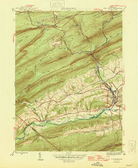 1946 Pine Grove1946 Print · USGSSchuylkill County in the mid-1940s is a landscape of tight mountain ridges and busy rail corridors serving coal-country towns. Genealogists and researchers can trace local landmarks like Jacobs Ch, the Swatara Valley Airport, and the Reading railroad spurs through Suedberg and Lorberry.2 unique versions available
 - 1947 Map of Lykens
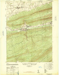 1947 Lykens1947 Print · USGSDauphin County’s northern coal valleys are captured here in the late 1940s, showing the industrial pulse of the region between massive mountain ridges. Researchers can trace the rail spurs of the Reading line and locate landmarks like the Anthracite Plant, Salladas School, and the County Fair Grounds.3 unique versions available
 - 1947 Map of Tower City
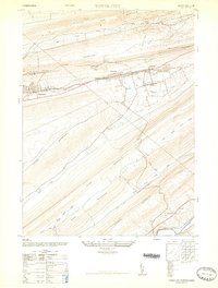 1947 Tower City1947 Print · USGSThe anthracite coal valleys of Schuylkill and Dauphin Counties are captured here in the late 1940s. Genealogists and historians can trace family locations in Tower City and Williamstown, or locate landmarks like the Porter Township High School and the Union Church.3 unique versions available
 - 1947 Map of Valley View
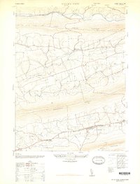 1947 Valley View1947 Print · USGSSchuylkill County communities are captured here in the late 1940s, nestled in the long valleys between the steep ridges of the Appalachians. Family historians can locate family landmarks such as Hepler, the Pitman School, and St Pauls Union Church.3 unique versions available
 - 1947 Map of Tremont
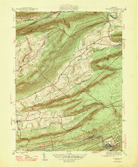 1947 Tremont1947 Print · USGSSchuylkill County is shown here in the late 1940s, where rail lines and mountain ridges dictate the flow of local life. Researchers can trace the Reading railroad corridor through Tremont or locate rural landmarks like Salem Ch and Beury Lake.2 unique versions available
 - 1950 Map of Harrisburg, 1952 Print
 1950 Harrisburg1952 Print · USGSMid-century Central Pennsylvania comes alive through its dense rail networks and river valley settlements during the post-war industrial era. Genealogists and historians can trace family roots through hubs like Harrisburg, locate Carlisle Barracks, or follow the Pennsylvania RR through the Lebanon Valley.
 - 1954 Map of Pine Grove, 1956 Print
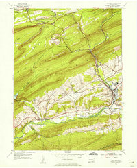 1954 Pine Grove1956 Print · USGSSchuylkill County in the mid-1950s reveals a landscape defined by industrial railroads and small valley settlements. Researchers can trace ancestral locations from Hollerman Cem to local landmarks like the Drive-in Theater and Swatara Valley Airport.4 unique versions available
 - 1954 Map of Tremont, 1956 Print
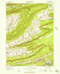 1954 Tremont1956 Print · USGSSchuylkill County in the mid-fifties shows a landscape defined by the anthracite valleys and the parallel ridges of the Appalachians. Researchers can trace the READING rail lines through Tremont and Donaldson, or locate family landmarks like Salem Ch and Klingers Sch.4 unique versions available
 - 1955 Map of Lykens, 1958 Print
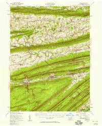 1955 Lykens1958 Print · USGSThe anthracite coal valleys of Dauphin and Schuylkill counties are shown here in the mid-1950s, a time of transition for the region's industrial landscape. Genealogists can trace family roots through numerous country landmarks like Himmels Ch, Kissingers Sch, and the Pitman Post Office.2 unique versions available
 - 1955 Map of Pine Grove, 1958 Print
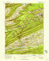 1955 Pine Grove1958 Print · USGSSchuylkill County coal towns and the Blue Mountain ridges are documented here in the mid-1950s. Genealogists and researchers can locate family-named landmarks like Klingers Sch and Hauer Ch alongside coal-era infrastructure like Coal Castle.3 unique versions available
 - 1957 Map of Harrisburg
 1957 Harrisburg1957 Print · USGSMid-century Central Pennsylvania comes into focus as a bustling network of rail, river, and mountain ridges. Genealogists and historians can trace the development of the State Capitol and surrounding hubs like Middletown, Columbia, and Pottsville.7 unique versions available
 - 1961 Map of Harrisburg
 1961 Harrisburg1961 Print · USGSCentral Pennsylvania is shown at a mid-century peak of industrial and military activity, from the Susquehanna water gaps to the fertile Dutch Country. Genealogists and historians can trace the rail corridors of the Pennsylvania RR and find landmarks like Carlisle Barracks or the Anthracite Coal Fields.2 unique versions available
 - 1964 Map of Harrisburg
 1964 Harrisburg1964 Print · USGSCentral Pennsylvania in the mid-fifties reveals a landscape shaped by ridge-and-valley geology and critical Cold War infrastructure. Researchers can trace the massive Indiantown Gap Military Reservation or the rail corridors of the Pennsylvania RR and Reading RR.
 - 1968 Map of Tower City
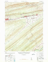 1968 Tower City1968 Print · USGSThe anthracite region's industrial footprint is on full display here in the late sixties, where valley towns are hemmed in by massive mountain ridges. Genealogists and historians can trace the foundations of Tower City and Williamstown alongside an Abandoned Coal Breaker and several local schools.
 - 1969 Map of Valley View, 1972 Print
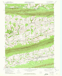 1969 Valley View1972 Print · USGSSchuylkill County and Northumberland County are captured in the late sixties as the valley communities between the ridges entered a new era. Genealogists and historians can trace local families through St Pauls Ch, Pitman, and the Line & Kitt Sch.2 unique versions available
 - 1969 Map of Lykens, 1972 Print
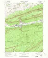 1969 Lykens1972 Print · USGSDauphin County coal country comes into sharp focus during the late sixties as industry and local recreation overlap. Researchers can trace the Penn Central rail corridor and find family sites at Fairview Cem or the Williams Valley Sch.4 unique versions available
 - 1969 Map of Tower City, 1972 Print
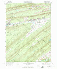 1969 Tower City1972 Print · USGSSchuylkill and Dauphin counties show a sharp contrast between coal-mining towns and deep mountain forests in the late sixties. Trace the rail-and-road corridor through Tower City and Williamstown or find the remote paths of the Appalachian Trail and Bendigo Airfield.4 unique versions available
 - 1977 Map of Tremont, 1979 Print
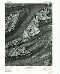 1977 Tremont1979 Print · USGSSchuylkill County's ridge-and-valley landscape is captured in the late seventies through detailed aerial imagery. Trace the development of valley settlements like Hegins and Donaldson alongside the industrial corridors of Broad Mountain.
 - 1977 Map of Pine Grove, 1979 Print
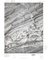 1977 Pine Grove1979 Print · USGSPine Grove and the coal region foothills are seen from above in the late seventies as modern highways began to reshape the valley. Genealogists and local historians can trace the footprint of settlements like Suedberg and Ravine nestled between Second Mountain and Sharp Mountain.
 - 1977 Map of Tower City, 1979 Print
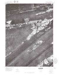 1977 Tower City1979 Print · USGSThe western Schuylkill County coal region is seen here in the late seventies, showing how the dramatic mountain ridges shaped local life. Genealogists and local historians can trace the clear street grids and valley footprints of Tower City, Orwin, and Muir.
 - 1984 Map of Sunbury, 1985 Print
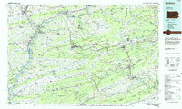 1984 Sunbury1985 Print · USGSPennsylvania coal country and the Susquehanna valley appear here in the early eighties, showcasing a landscape defined by industrial ridges and river towns. Genealogists and historians can trace rail corridors like Conrail and explore mountain settlements from Mahanoy City to Elizabethville.2 unique versions available
Showing maps 1-25 of 52
Top cities near Hegins Township
- Shamokin historical maps
- Mount Carmel historical maps
- Bethel Township historical maps
- East Hanover Township historical maps
- Kulpmont historical maps
- Elysburg historical maps
See more
Top neighborhoods of Hegins Township
Frequently asked questions
- What are the different types of historical maps available for Hegins Township?
- What is the oldest map of Hegins Township?
- Where can I purchase historical maps of Hegins Township for my home or office?
- Where can I download high-res historical maps of Hegins Township?
- Are there historical topographic maps available for Hegins Township?
- Is there historical aerial imagery available for Hegins Township?
- Where are historical maps of Hegins Township sourced from?