Old Maps of North Union Township, Pennsylvania
Explore 35 old maps of North Union Township, spanning from 1889 to today. These high-resolution historic maps reveal how streets, neighborhoods, landmarks, and natural features evolved over time — perfect for genealogy, metal detecting, research, and local history exploration.
What you can do with these maps:
- See how North Union Township changed over time: Compare historical maps to modern-day views to trace roads, homesites, rail lines & more.
- View detailed metadata: Each map includes creators, publishers, year, scale, and archive source.
- Overlay maps with satellite & LiDAR: Visualize the past alongside modern tools to explore terrain & human change.
- Trusted historical sources: Maps sourced from the USGS, Library of Congress, and other archives.
- Access maps your way: View online, download high-res files, or order prints for personal or research use.
Start exploring old maps of North Union Township to uncover forgotten places, hidden landmarks, and the deep history beneath your feet.
North Union Township, PA maps
(35)- 1889 Map of Catawissa, 1954 Print
 1889 Catawissa1954 Print · USGSThe anthracite coal region and Susquehanna River valley come alive in this late 19th-century survey. Genealogists and historians can trace the early rail networks of the Philadelphia and Reading Railroad connecting industrial hubs like Centralia, Mount Carmel, and Ashland.
 - 1892 Map of Catawissa
 1892 Catawissa1892 Print · USGSThe Pennsylvania anthracite region comes into focus during the late nineteenth-century coal boom. Genealogists and historians can trace rail-centered towns like Centralia, Ashland, and Mount Carmel alongside the historic Bloomsburg Ferry.
 - 1892 Map of Mahanoy
 1892 Mahanoy1892 Print · USGSSchuylkill and Luzerne counties are captured here at a peak of industrial development during the 1890s coal era. Researchers can trace the massive rail networks serving Shenandoah, Mahanoy City, and lost junctions like Silver Brook Junction.
 - 1893 Map of Mahanoy, 1898 Print
 1893 Mahanoy1898 Print · USGSSchuylkill and Luzerne counties are shown at the height of the coal era, revealing a landscape etched by mining and rail commerce. Genealogists and industrial historians can trace the specific neighborhoods of Shenandoah, Mahanoy City, and the railway junctions at Tamanend and Delano.7 unique versions available
 - 1894 Map of Catawissa
 1894 Catawissa1894 Print · USGSPennsylvania's anthracite coal region and the Susquehanna valley appear here in the late nineteenth century, defined by a massive expansion of rail and ridge-top settlements. Researchers can trace old transit lines like the Lehigh Valley Railroad through Centralia or locate early rural hubs like Mifflin X Roads.6 unique versions available
 - 1948 Map of Shumans
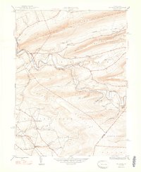 1948 Shumans1948 Print · USGSColumbia County in the late 1940s is defined by its deep creek valleys and the Reading railroad lines that connected its rural hamlets. Researchers can locate vanished landmarks like the Beaver Sch and trace family roots in settlements like Shumans and Kulp.2 unique versions available
 - 1949 Map of Conyngham
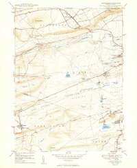 1949 Conyngham1949 Print · USGSThe northern reaches of the coal country show a landscape shaped by ridge-traversing railroads and mining towns in the late 1940s. Genealogists can locate family sites in West Hazleton, Sheppton, or the colliery-linked Harwood (Harwood Mines PO).2 unique versions available
 - 1950 Map of Nuremberg
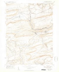 1950 Nuremberg1950 Print · USGSThe tri-county borderlands of Eastern Pennsylvania are captured here at the start of the 1950s. Genealogists can trace family names at Millers Corner and Raricks, or locate ancestors at the Nuremberg Cem and Mt Zion Ch.2 unique versions available
 - 1950 Map of Harrisburg, 1952 Print
 1950 Harrisburg1952 Print · USGSMid-century Central Pennsylvania comes alive through its dense rail networks and river valley settlements during the post-war industrial era. Genealogists and historians can trace family roots through hubs like Harrisburg, locate Carlisle Barracks, or follow the Pennsylvania RR through the Lebanon Valley.
 - 1955 Map of Conyngham, 1956 Print
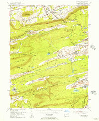 1955 Conyngham1956 Print · USGSThe anthracite coal fields of Luzerne and Schuylkill counties are shown here in the mid-fifties, just as strip mining began to reshape the ridges. Genealogists and historians can locate family homes in Oneida, Sheppton, or Kelayres, and trace the rail lines of the Reading and Lehigh Valley railroads.6 unique versions available
 - 1955 Map of Shumans, 1956 Print
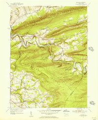 1955 Shumans1956 Print · USGSColumbia County’s ridge-and-valley landscape is captured here in the mid-1950s as the Reading railroad follows the winding Catawissa Creek. Genealogists can locate family landmarks like Michaels Cem, Harkers Ch, and the old Beaver Sch.5 unique versions available
 - 1955 Map of Nuremberg, 1956 Print
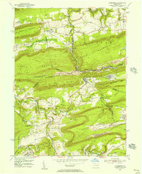 1955 Nuremberg1956 Print · USGSThe anthracite region near the Luzerne and Schuylkill border is shown here in the mid-1950s, highlighting the industrial rail network and hilltop mining towns. Researchers can trace family roots through sites like Nuremberg Cem, Zion Grove, and the mining village of Oneida.6 unique versions available
 - 1955 Map of Catawissa, 1960 Print
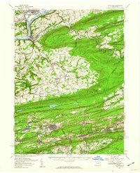 1955 Catawissa1960 Print · USGSThe coal and river valleys of Columbia and Schuylkill counties are shown here in the mid-1950s. Genealogists and historians can trace family roots through numerous sites like Centralia, St Marys Cem, and Parrs Mill.2 unique versions available
 - 1955 Map of Mahanoy, 1960 Print
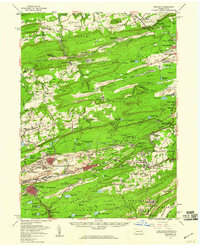 1955 Mahanoy1960 Print · USGSThe anthracite coalfields of Schuylkill County are shown in full industrial operation during the mid-1950s. Researchers can locate specific colliery sites and landmarks like Harwood, the Mahanoy Tunnel, and the lone Peddlars Grave.
 - 1957 Map of Harrisburg
 1957 Harrisburg1957 Print · USGSMid-century Central Pennsylvania comes into focus as a bustling network of rail, river, and mountain ridges. Genealogists and historians can trace the development of the State Capitol and surrounding hubs like Middletown, Columbia, and Pottsville.7 unique versions available
 - 1961 Map of Harrisburg
 1961 Harrisburg1961 Print · USGSCentral Pennsylvania is shown at a mid-century peak of industrial and military activity, from the Susquehanna water gaps to the fertile Dutch Country. Genealogists and historians can trace the rail corridors of the Pennsylvania RR and find landmarks like Carlisle Barracks or the Anthracite Coal Fields.2 unique versions available
 - 1964 Map of Harrisburg
 1964 Harrisburg1964 Print · USGSCentral Pennsylvania in the mid-fifties reveals a landscape shaped by ridge-and-valley geology and critical Cold War infrastructure. Researchers can trace the massive Indiantown Gap Military Reservation or the rail corridors of the Pennsylvania RR and Reading RR.
 - 1976 Map of Nuremberg, 1979 Print
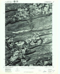 1976 Nuremberg1979 Print · USGSEastern Pennsylvania in the late seventies is shown in this aerial orthophotoquad of the anthracite coal region. Genealogists and local historians can trace the layouts of Nuremberg, Weston, and Rock Glen at the base of Buck Mountain.
 - 1976 Map of Conyngham, 1979 Print
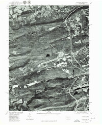 1976 Conyngham1979 Print · USGSLuzerne and Schuylkill counties are shown through detailed aerial imagery in the mid-1970s, revealing the intersection of industry and mountain settlement. Trace the exact layout of coal-region towns like Conyngham, Sheppton, and West Hazleton.
 - 1984 Map of Sunbury, 1985 Print
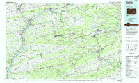 1984 Sunbury1985 Print · USGSPennsylvania coal country and the Susquehanna valley appear here in the early eighties, showcasing a landscape defined by industrial ridges and river towns. Genealogists and historians can trace rail corridors like Conrail and explore mountain settlements from Mahanoy City to Elizabethville.2 unique versions available
 - 2010 Map of Shumans, 2010 Print
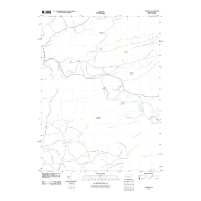 2010 Shumans2010 Print · USGSColumbia County’s ridge-and-valley terrain is captured here in the early twenty-first century, showing the rural road network and steep wooded slopes. Genealogists and hikers can locate Michaels Cemetery or trace paths near Catawissa Mountain and Full Mill Hill.
 - 2010 Map of Nuremberg, 2010 Print
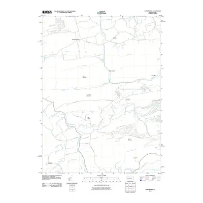 2010 Nuremberg2010 Print · USGSThe ridges and valleys of Columbia County are captured here during the early twenty-first century, showing a mix of rural settlements and modern recreation. Researchers can trace the grounds of Nuremberg Cemetery or locate landmarks like McDonalds Airport and Tomhicken Falls.
 - 2010 Map of Conyngham, 2010 Print
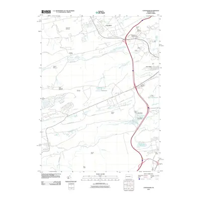 2010 Conyngham2010 Print · USGSLuzerne County at the turn of the decade reveals a landscape where mountain ridges meet industrial legacy and academic growth. Trace family history and local industry through features like Tomhicken Shaft Number Four, the Harwood Mines Post Office, and Council Crest.
 - 2013 Map of Shumans, 2013 Print
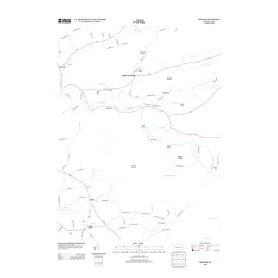 2013 Shumans2013 Print · USGSColumbia County’s ridge-and-valley landscape is captured here in the early twenty-first century, showcasing a network of historic rural hamlets. Local historians can trace family roots through the namesake streets and settlements of Mainville, Mill Grove, and Shumans.
 - 2013 Map of Conyngham, 2013 Print
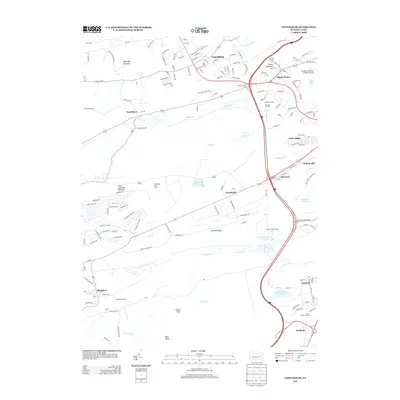 2013 Conyngham2013 Print · USGSLuzerne County's industrial and mountain landscape comes into focus during the early twenty-first century. Genealogists and historians can trace rail-connected communities from Conyngham to Sheppton, identifying local landmarks like the Humboldt Fire Tower and Oakbur Junction.
Showing maps 1-25 of 35
Top cities near North Union Township
- Hazleton historical maps
- Pottsville historical maps
- Berwick historical maps
- Tamaqua historical maps
- Mount Carmel historical maps
- Shenandoah historical maps
See more
Top neighborhoods of North Union Township
- Nuremberg historical maps
- Raricks historical maps
- Slabtown historical maps
- Zion Grove historical maps
- Millers Corner historical maps
Frequently asked questions
- What are the different types of historical maps available for North Union Township?
- What is the oldest map of North Union Township?
- Where can I purchase historical maps of North Union Township for my home or office?
- Where can I download high-res historical maps of North Union Township?
- Are there historical topographic maps available for North Union Township?
- Is there historical aerial imagery available for North Union Township?
- Where are historical maps of North Union Township sourced from?