2000s (21st Century) Maps of Tamaqua, Pennsylvania
Explore 10 historic maps of Tamaqua from the 2000s (21st Century). These maps offer a rare glimpse into what life looked like during the 2000s — showing old roads, neighborhoods, homes, and landmarks that have changed or disappeared over time.
Whether you're researching your family's past, planning a metal detecting trip, or studying how Tamaqua's landscape evolved across the 2000s, these high-resolution maps are a powerful tool for exploring the history of this region.
- Focus on a specific era: All maps on this page are from the 2000s, giving you a focused view of this time period.
- See what’s changed: Compare century-old streets, trails, and buildings to today's modern landscape using overlays and satellite layers.
- Research with precision: Use these maps for genealogy, historical research, land use analysis, or educational projects.
- View, download, or print: Maps are fully viewable online in high resolution, and can be downloaded or printed for your own records.
Start exploring Tamaqua's history through authentic maps from the 2000s. This is your window into the past.
Tamaqua, PA maps
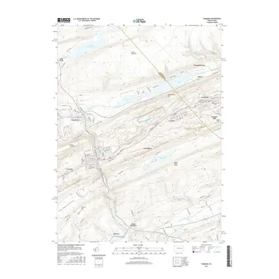
(10)- 2010 Map of Tamaqua, 2010 Print
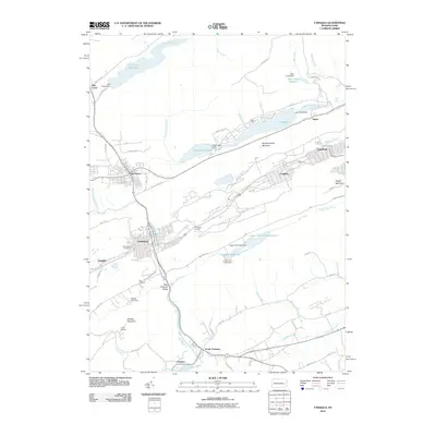 2010 Tamaqua2010 Print · USGSCovers Tamaqua, including West Penn Township, Lansford, and other nearby areas
 - 2010 Map of Nesquehoning, 2010 Print
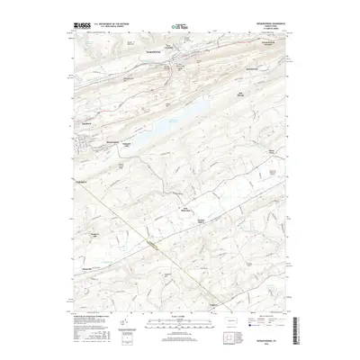
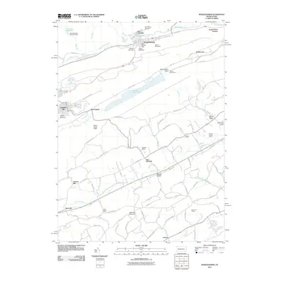 2010 Nesquehoning2010 Print · USGSCovers Tamaqua, including Jim Thorpe, West Penn Township, and other nearby areas
 - 2013 Map of Tamaqua, 2013 Print
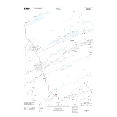 2013 Tamaqua2013 Print · USGSCovers Tamaqua, including West Penn Township, Lansford, and other nearby areas
 - 2013 Map of Nesquehoning, 2013 Print
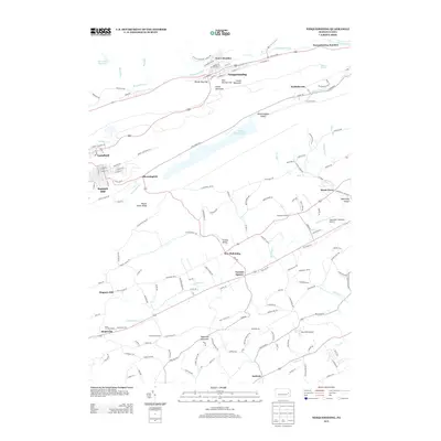 2013 Nesquehoning2013 Print · USGSCovers Tamaqua, including Jim Thorpe, West Penn Township, and other nearby areas
 - 2016 Map of Tamaqua, 2016 Print
 2016 Tamaqua2016 Print · USGSCovers Tamaqua, including West Penn Township, Lansford, and other nearby areas
 - 2016 Map of Nesquehoning, 2016 Print
 2016 Nesquehoning2016 Print · USGSCovers Tamaqua, including Jim Thorpe, West Penn Township, and other nearby areas
 - 2019 Map of Nesquehoning, 2019 Print
 2019 Nesquehoning2019 Print · USGSCovers Tamaqua, including Jim Thorpe, West Penn Township, and other nearby areas
 - 2019 Map of Tamaqua, 2019 Print
 2019 Tamaqua2019 Print · USGSCovers Tamaqua, including West Penn Township, Lansford, and other nearby areas
 - 2023 Map of Nesquehoning, 2023 Print
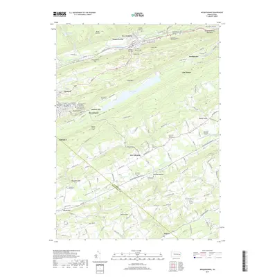
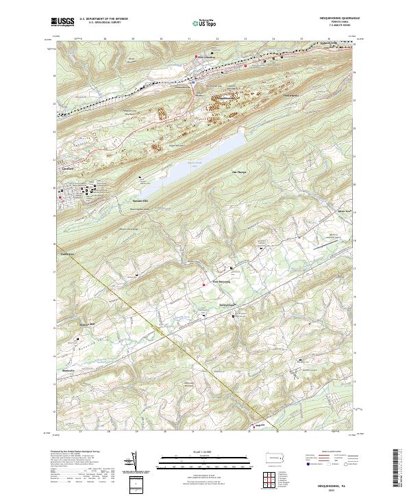 2023 Nesquehoning2023 Print · USGSModern-day Carbon County reveals its deep coal-heritage roots in this survey of the narrow valleys between Nesquehoning Mountain and Pisgah Mountain. Genealogists and historians can trace family sites from Hacklebernie to Lansford, including numerous parish cemeteries and the Switchback Railroad Trl.
 - 2023 Map of Tamaqua, 2023 Print
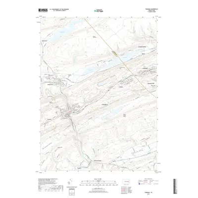
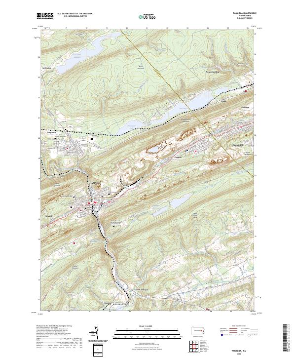 2023 Tamaqua2023 Print · USGSThe anthracite coal region of the Panther Valley comes into sharp focus in this detailed survey of the Schuylkill and Carbon County line. Researchers can trace historic family burial sites like Odd Fellows Cem and the Lehigh and New England RR corridor near Coaldale.
End of results
Showing maps 1-10 of 10
Top cities near Tamaqua
- Hazleton historical maps
- Lehighton historical maps
- Weisenberg Township historical maps
- Jim Thorpe historical maps
- Mahanoy City historical maps
- West Penn Township historical maps
See more
Top neighborhoods of Tamaqua
- North Ward historical maps
- South Ward historical maps
- East End historical maps
- Owl Creek historical maps
- Dutch Hill historical maps
Frequently asked questions
- What are the different types of historical maps available for Tamaqua?
- What is the oldest map of Tamaqua?
- Where can I purchase historical maps of Tamaqua for my home or office?
- Where can I download high-res historical maps of Tamaqua?
- Are there historical topographic maps available for Tamaqua?
- Is there historical aerial imagery available for Tamaqua?
- Where are historical maps of Tamaqua sourced from?