Old Maps of Speers, Washington County for Hiking & Exploration
Hike through history with 17 historic maps of Speers. Explore old trails, ghost towns, and forgotten backroads — perfect for outdoor adventurers and local explorers.
- Rediscover forgotten places: Map out old mining camps, roads, and footpaths that no longer exist on modern maps.
- Layer with modern tools: Combine with LiDAR or satellite views to plan hikes through historical terrain.
- Made for exploration: Popular among hikers, overlanders, and local history lovers.
Use these maps to find adventure and explore the hidden past of Speers.
Speers, Washington County maps
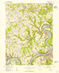
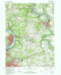
(17)- 1902 Map of Brownsville
 1902 Brownsville1902 Print · USGSCovers Speers, including Monessen, California, and other nearby areas
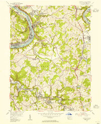
 - 1906 Map of Brownsville
 1906 Brownsville1906 Print · USGSCovers Speers, including Monessen, California, and other nearby areas4 unique versions available
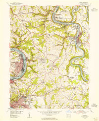
 - 1931 Map of Brownsville, 1954 Print
 1931 Brownsville1954 Print · USGSCovers Speers, including Monessen, California, and other nearby areas
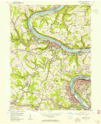
 - 1933 Map of Brownsville
 1933 Brownsville1933 Print · USGSCovers Speers, including Monessen, California, and other nearby areas2 unique versions available
 - 1940 Map of Brownsville
 1940 Brownsville1940 Print · USGSCovers Speers, including Monessen, California, and other nearby areas
 - 1953 Map of Pittsburgh
 1953 Pittsburgh1953 Print · USGSCovers Speers, including Pittsburgh, Penn Hills, and other nearby areas
 - 1954 Map of Pittsburgh
 1954 Pittsburgh1954 Print · USGSCovers Speers, including Pittsburgh, Penn Hills, and other nearby areas2 unique versions available
 - 1954 Map of California, 1955 Print
 1954 California1955 Print · USGSCovers Speers, including California, Luzerne Township, and other nearby areas3 unique versions available
 - 1954 Map of Fayette City, 1955 Print
 1954 Fayette City1955 Print · USGSCovers Speers, including Redstone, Perryopolis, and other nearby areas3 unique versions available
 - 1954 Map of Donora, 1955 Print
 1954 Donora1955 Print · USGSCovers Speers, including Monessen, Donora, and other nearby areas4 unique versions available
 - 1954 Map of Monongahela, 1955 Print
 1954 Monongahela1955 Print · USGSCovers Speers, including Monessen, Charleroi, and other nearby areas4 unique versions available
 - 1958 Map of Pittsburgh
 1958 Pittsburgh1958 Print · USGSCovers Speers, including Pittsburgh, Penn Hills, and other nearby areas5 unique versions available
 - 1959 Map of Pittsburgh
 1959 Pittsburgh1959 Print · USGSCovers Speers, including Pittsburgh, Penn Hills, and other nearby areas
 - 1964 Map of Pittsburgh
 1964 Pittsburgh1964 Print · USGSCovers Speers, including Pittsburgh, Penn Hills, and other nearby areas
 - 1986 Map of Pittsburgh East
 1986 Pittsburgh East1986 Print · USGSCovers Speers, including Pittsburgh, Penn Hills, and other nearby areas3 unique versions available
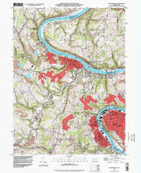
 - 1993 Map of Donora
 1993 Donora1993 Print · USGSCovers Speers, including Monessen, Donora, and other nearby areas2 unique versions available
 - 1993 Map of Monongahela, 1999 Print
 1993 Monongahela1999 Print · USGSCovers Speers, including Monessen, Charleroi, and other nearby areas
End of results
Showing maps 1-17 of 17
Frequently asked questions
- What are the different types of historical maps available for Speers?
- What is the oldest map of Speers?
- Where can I purchase historical maps of Speers for my home or office?
- Where can I download high-res historical maps of Speers?
- Are there historical topographic maps available for Speers?
- Is there historical aerial imagery available for Speers?
- Where are historical maps of Speers sourced from?