2000s (21st Century) Maps of West Pike Run Township, Pennsylvania
Explore 10 historic maps of West Pike Run Township from the 2000s (21st Century). These maps offer a rare glimpse into what life looked like during the 2000s — showing old roads, neighborhoods, homes, and landmarks that have changed or disappeared over time.
Whether you're researching your family's past, planning a metal detecting trip, or studying how West Pike Run Township's landscape evolved across the 2000s, these high-resolution maps are a powerful tool for exploring the history of this region.
- Focus on a specific era: All maps on this page are from the 2000s, giving you a focused view of this time period.
- See what’s changed: Compare century-old streets, trails, and buildings to today's modern landscape using overlays and satellite layers.
- Research with precision: Use these maps for genealogy, historical research, land use analysis, or educational projects.
- View, download, or print: Maps are fully viewable online in high resolution, and can be downloaded or printed for your own records.
Start exploring West Pike Run Township's history through authentic maps from the 2000s. This is your window into the past.
West Pike Run Township, PA maps
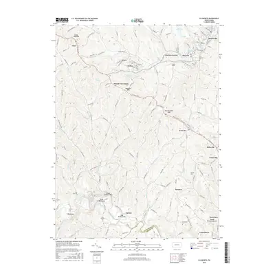
(10)- 2010 Map of Ellsworth, 2010 Print
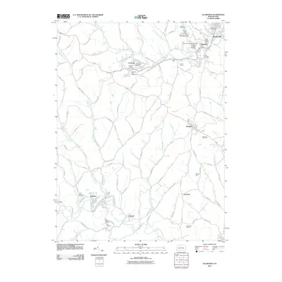 2010 Ellsworth2010 Print · USGSCovers West Pike Run Township, including Bentleyville, Ellsworth, and other nearby areas
 - 2010 Map of California, 2010 Print
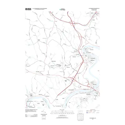
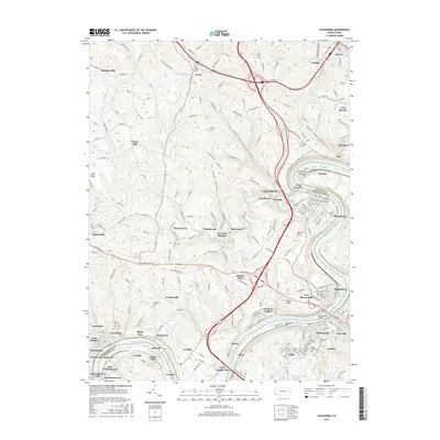
 2010 California2010 Print · USGSCovers West Pike Run Township, including California, Luzerne Township, and other nearby areas
 - 2013 Map of Ellsworth, 2013 Print
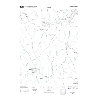 2013 Ellsworth2013 Print · USGSCovers West Pike Run Township, including Bentleyville, Ellsworth, and other nearby areas
 - 2013 Map of California, 2013 Print
 2013 California2013 Print · USGSCovers West Pike Run Township, including California, Luzerne Township, and other nearby areas
 - 2016 Map of California, 2016 Print
 2016 California2016 Print · USGSCovers West Pike Run Township, including California, Luzerne Township, and other nearby areas
 - 2016 Map of Ellsworth, 2016 Print
 2016 Ellsworth2016 Print · USGSCovers West Pike Run Township, including Bentleyville, Ellsworth, and other nearby areas
 - 2019 Map of California, 2019 Print
 2019 California2019 Print · USGSCovers West Pike Run Township, including California, Luzerne Township, and other nearby areas
 - 2019 Map of Ellsworth, 2019 Print
 2019 Ellsworth2019 Print · USGSCovers West Pike Run Township, including Bentleyville, Ellsworth, and other nearby areas
 - 2023 Map of Ellsworth, 2023 Print
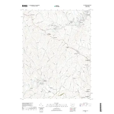
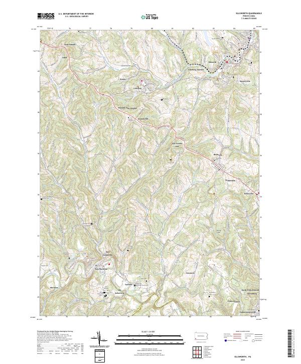 2023 Ellsworth2023 Print · USGSWashington County communities like Ellsworth and Marianna are documented here during a period of modern persistence. Genealogists can trace deep local roots through numerous family burial sites such as Crooks Cem and historic locations like Old Zollarsville.
 - 2023 Map of California, 2023 Print
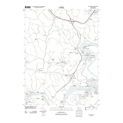
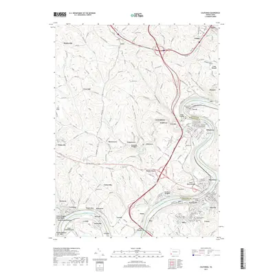
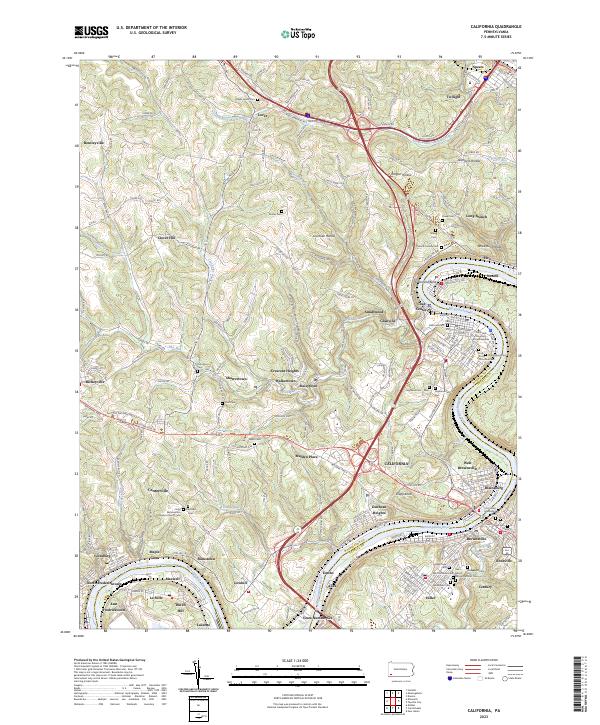 2023 California2023 Print · USGSThe Monongahela River valley comes to life in this detailed record of Washington and Fayette Counties during the early 21st century. Researchers can trace ancestral sites through dozens of local burial grounds like California Cem or explore the riverfront legacy of Coal Center and West Brownsville.
End of results
Showing maps 1-10 of 10
Top cities near West Pike Run Township
- Bethel Park historical maps
- Upper St. Clair historical maps
- Cecil Township historical maps
- Canonsburg historical maps
- South Strabane Township historical maps
- Monessen historical maps
See more
Top neighborhoods of West Pike Run Township
- Crescent Heights historical maps
- Moffitts Mills historical maps
- Walkertown historical maps
- Clover Hill historical maps
- Sharrertown historical maps
Frequently asked questions
- What are the different types of historical maps available for West Pike Run Township?
- What is the oldest map of West Pike Run Township?
- Where can I purchase historical maps of West Pike Run Township for my home or office?
- Where can I download high-res historical maps of West Pike Run Township?
- Are there historical topographic maps available for West Pike Run Township?
- Is there historical aerial imagery available for West Pike Run Township?
- Where are historical maps of West Pike Run Township sourced from?