2000s (21st Century) Maps of South Huntingdon Township, Pennsylvania
Explore 20 historic maps of South Huntingdon Township from the 2000s (21st Century). These maps offer a rare glimpse into what life looked like during the 2000s — showing old roads, neighborhoods, homes, and landmarks that have changed or disappeared over time.
Whether you're researching your family's past, planning a metal detecting trip, or studying how South Huntingdon Township's landscape evolved across the 2000s, these high-resolution maps are a powerful tool for exploring the history of this region.
- Focus on a specific era: All maps on this page are from the 2000s, giving you a focused view of this time period.
- See what’s changed: Compare century-old streets, trails, and buildings to today's modern landscape using overlays and satellite layers.
- Research with precision: Use these maps for genealogy, historical research, land use analysis, or educational projects.
- View, download, or print: Maps are fully viewable online in high resolution, and can be downloaded or printed for your own records.
Start exploring South Huntingdon Township's history through authentic maps from the 2000s. This is your window into the past.
South Huntingdon Township, PA maps
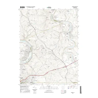
(20)- 2010 Map of Smithton, 2010 Print
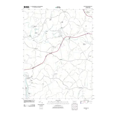 2010 Smithton2010 Print · USGSCovers South Huntingdon Township, including Madison, Smithton, and other nearby areas
 - 2010 Map of Donora, 2010 Print
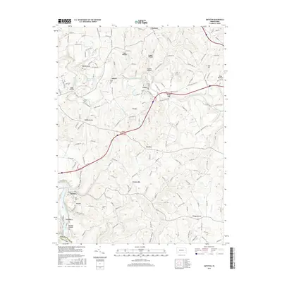
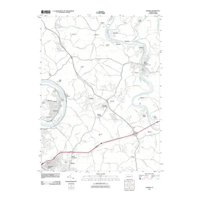 2010 Donora2010 Print · USGSCovers South Huntingdon Township, including Monessen, Donora, and other nearby areas
 - 2010 Map of McKeesport, 2010 Print
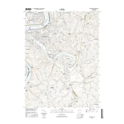
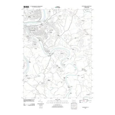 2010 McKeesport2010 Print · USGSCovers South Huntingdon Township, including McKeesport, West Mifflin, and other nearby areas
 - 2010 Map of Dawson, 2010 Print
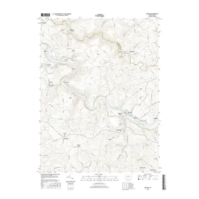
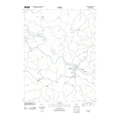 2010 Dawson2010 Print · USGSCovers South Huntingdon Township, including Vanderbilt, Dawson, and other nearby areas
 - 2013 Map of Smithton, 2013 Print
 2013 Smithton2013 Print · USGSCovers South Huntingdon Township, including Madison, Smithton, and other nearby areas
 - 2013 Map of Dawson, 2013 Print
 2013 Dawson2013 Print · USGSCovers South Huntingdon Township, including Vanderbilt, Dawson, and other nearby areas
 - 2013 Map of Donora, 2013 Print
 2013 Donora2013 Print · USGSCovers South Huntingdon Township, including Monessen, Donora, and other nearby areas
 - 2013 Map of McKeesport, 2013 Print
 2013 McKeesport2013 Print · USGSCovers South Huntingdon Township, including McKeesport, West Mifflin, and other nearby areas
 - 2016 Map of Donora, 2016 Print
 2016 Donora2016 Print · USGSCovers South Huntingdon Township, including Monessen, Donora, and other nearby areas
 - 2016 Map of Dawson, 2016 Print
 2016 Dawson2016 Print · USGSCovers South Huntingdon Township, including Vanderbilt, Dawson, and other nearby areas
 - 2016 Map of Smithton, 2016 Print
 2016 Smithton2016 Print · USGSCovers South Huntingdon Township, including Madison, Smithton, and other nearby areas
 - 2016 Map of McKeesport, 2016 Print
 2016 McKeesport2016 Print · USGSCovers South Huntingdon Township, including McKeesport, West Mifflin, and other nearby areas
 - 2019 Map of Donora, 2019 Print
 2019 Donora2019 Print · USGSCovers South Huntingdon Township, including Monessen, Donora, and other nearby areas
 - 2019 Map of McKeesport, 2019 Print
 2019 McKeesport2019 Print · USGSCovers South Huntingdon Township, including McKeesport, West Mifflin, and other nearby areas
 - 2019 Map of Dawson, 2019 Print
 2019 Dawson2019 Print · USGSCovers South Huntingdon Township, including Vanderbilt, Dawson, and other nearby areas
 - 2019 Map of Smithton, 2019 Print
 2019 Smithton2019 Print · USGSCovers South Huntingdon Township, including Madison, Smithton, and other nearby areas
 - 2023 Map of Smithton, 2023 Print
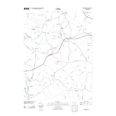
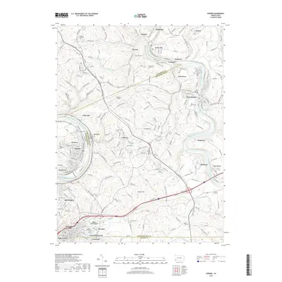
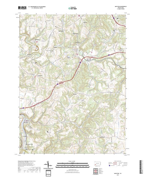 2023 Smithton2023 Print · USGSWestmoreland County at the start of the 2020s shows a complex network of small settlements and riverfront communities along the Youghiogheny River. Genealogy researchers can trace family landmarks and rural congregations at Saint Paul Seanor Cem and Sewickley Presbyterian Church.
 - 2023 Map of Dawson, 2023 Print
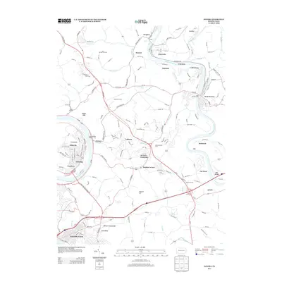
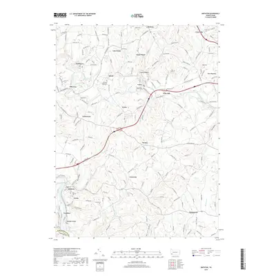
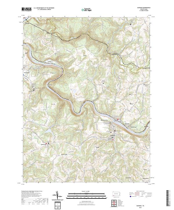 2023 Dawson2023 Print · USGSThe Youghiogheny River corridor in Fayette County comes alive in this contemporary survey of its historic river towns and industrial roots. Researchers can trace genealogical ties at the Dickerson Family Cem or explore early industry at the Alliance Furnace and Kilndigging Hill.
 - 2023 Map of Donora, 2023 Print
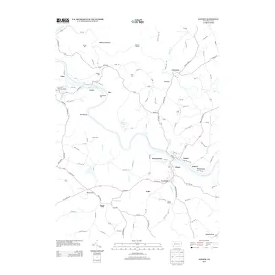
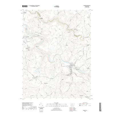
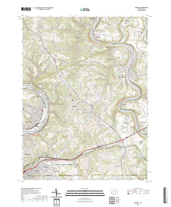 2023 Donora2023 Print · USGSThe industrial river valleys of Washington and Westmoreland counties are shown here in the early twenty-first century. Researchers can trace family sites at Round Hill Cem, the Plummer School, and many churches from Donora to West Newton.
 - 2023 Map of McKeesport, 2023 Print
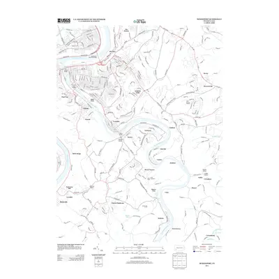
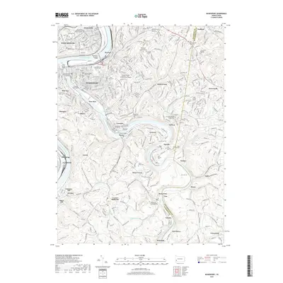
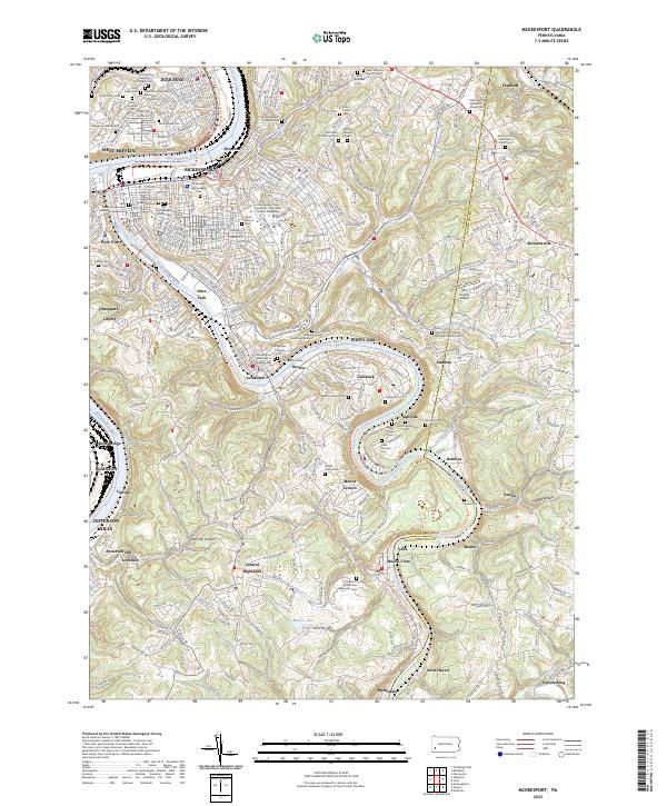 2023 McKeesport2023 Print · USGSThe Monongahela and Youghiogheny river valleys near McKeesport represent a storied industrial corridor at the height of its modern development. Genealogists can trace family names across dozens of sites like the Coulter Cem, Dravo Cem, and the Sisters of the Divine Redeemer Cem.
End of results
Showing maps 1-20 of 20
Top cities near South Huntingdon Township
- Pittsburgh historical maps
- Monroeville historical maps
- McKeesport historical maps
- West Mifflin historical maps
- Greensburg historical maps
- Munhall historical maps
See more
Top neighborhoods of South Huntingdon Township
- Centerville historical maps
- Eureka historical maps
- Jacobs Creek historical maps
- Mendon historical maps
- Mill Grove historical maps
- Reagantown historical maps
See more
Frequently asked questions
- What are the different types of historical maps available for South Huntingdon Township?
- What is the oldest map of South Huntingdon Township?
- Where can I purchase historical maps of South Huntingdon Township for my home or office?
- Where can I download high-res historical maps of South Huntingdon Township?
- Are there historical topographic maps available for South Huntingdon Township?
- Is there historical aerial imagery available for South Huntingdon Township?
- Where are historical maps of South Huntingdon Township sourced from?