2000s (21st Century) Maps of Nicholson Township, Pennsylvania
Explore 31 historic maps of Nicholson Township from the 2000s (21st Century). These maps offer a rare glimpse into what life looked like during the 2000s — showing old roads, neighborhoods, homes, and landmarks that have changed or disappeared over time.
Whether you're researching your family's past, planning a metal detecting trip, or studying how Nicholson Township's landscape evolved across the 2000s, these high-resolution maps are a powerful tool for exploring the history of this region.
- Focus on a specific era: All maps on this page are from the 2000s, giving you a focused view of this time period.
- See what’s changed: Compare century-old streets, trails, and buildings to today's modern landscape using overlays and satellite layers.
- Research with precision: Use these maps for genealogy, historical research, land use analysis, or educational projects.
- View, download, or print: Maps are fully viewable online in high resolution, and can be downloaded or printed for your own records.
Start exploring Nicholson Township's history through authentic maps from the 2000s. This is your window into the past.
Nicholson Township, PA maps
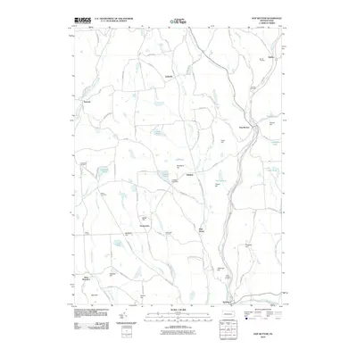
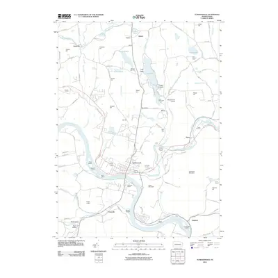
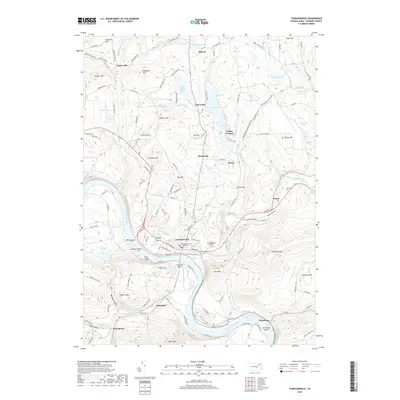
(31)- 2000 Map of Tunkhannock, 2001 Print
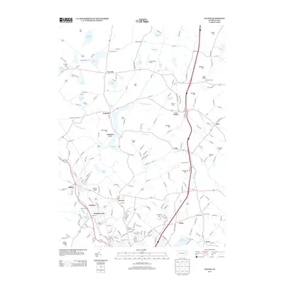
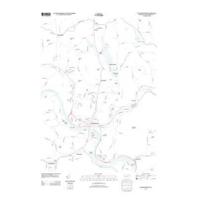
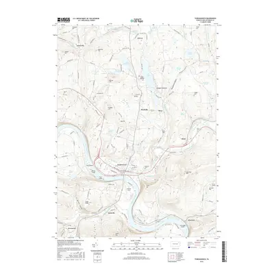
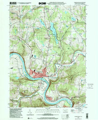 2000 Tunkhannock2001 Print · USGSTunkhannock and the Susquehanna River valley are captured here at the turn of the millennium, showing a blend of borough life and mountain terrain. Genealogists and local historians can locate family landmarks like Eatonville Sch, Sunnyside Cem, and Lake Carey.
 - 2010 Map of Dalton, 2010 Print
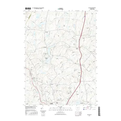
 2010 Dalton2010 Print · USGSCovers Nicholson Township, including Scott Township, Glenburn Township, and other nearby areas
 - 2010 Map of Factoryville, 2010 Print
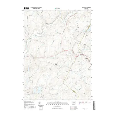
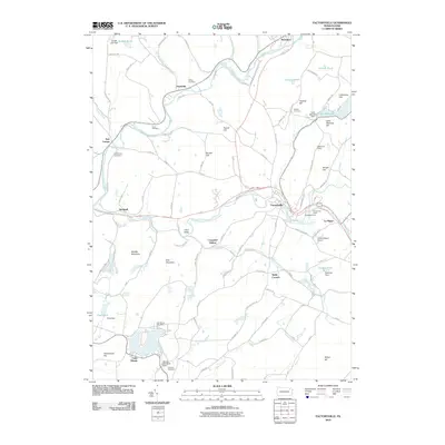 2010 Factoryville2010 Print · USGSCovers Nicholson Township, including Falls Township, Glenburn Township, and other nearby areas
 - 2010 Map of Springville, 2010 Print
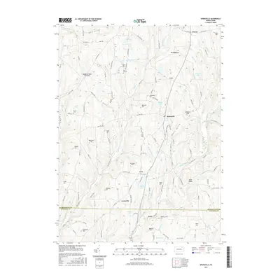
 2010 Springville2010 Print · USGSCovers Nicholson Township, including Springville Township, Rush Township, and other nearby areas
 - 2010 Map of Hop Bottom, 2010 Print
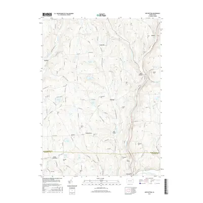
 2010 Hop Bottom2010 Print · USGSCovers Nicholson Township, including Lenox Township, Springville Township, and other nearby areas
 - 2010 Map of Tunkhannock, 2010 Print
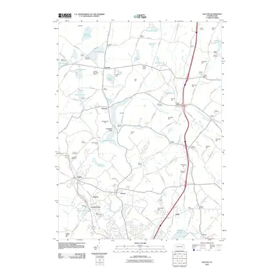
 2010 Tunkhannock2010 Print · USGSCovers Nicholson Township, including Falls Township, Tunkhannock, and other nearby areas
 - 2010 Map of Lenoxville, 2010 Print
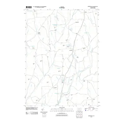
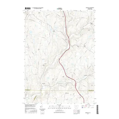
 2010 Lenoxville2010 Print · USGSCovers Nicholson Township, including Clifford Township, Lenox Township, and other nearby areas
 - 2013 Map of Hop Bottom, 2013 Print
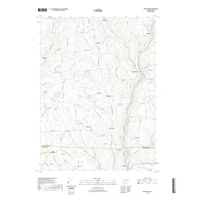
 2013 Hop Bottom2013 Print · USGSCovers Nicholson Township, including Lenox Township, Springville Township, and other nearby areas
 - 2013 Map of Dalton, 2013 Print
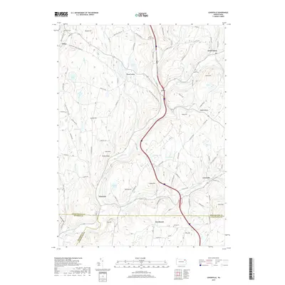
 2013 Dalton2013 Print · USGSCovers Nicholson Township, including Scott Township, Glenburn Township, and other nearby areas
 - 2013 Map of Factoryville, 2013 Print
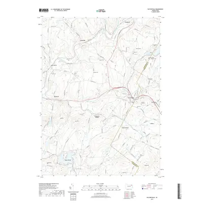
 2013 Factoryville2013 Print · USGSCovers Nicholson Township, including Falls Township, Glenburn Township, and other nearby areas
 - 2013 Map of Springville, 2013 Print
 2013 Springville2013 Print · USGSCovers Nicholson Township, including Springville Township, Rush Township, and other nearby areas
 - 2013 Map of Lenoxville, 2013 Print
 2013 Lenoxville2013 Print · USGSCovers Nicholson Township, including Clifford Township, Lenox Township, and other nearby areas
 - 2013 Map of Tunkhannock, 2013 Print
 2013 Tunkhannock2013 Print · USGSCovers Nicholson Township, including Falls Township, Tunkhannock, and other nearby areas
 - 2016 Map of Lenoxville, 2016 Print
 2016 Lenoxville2016 Print · USGSCovers Nicholson Township, including Clifford Township, Lenox Township, and other nearby areas
 - 2016 Map of Dalton, 2016 Print
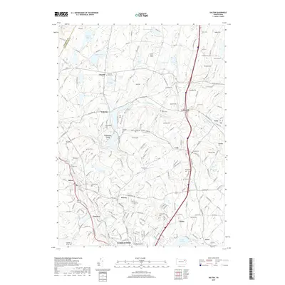
 2016 Dalton2016 Print · USGSCovers Nicholson Township, including Scott Township, Glenburn Township, and other nearby areas
 - 2016 Map of Factoryville, 2016 Print
 2016 Factoryville2016 Print · USGSCovers Nicholson Township, including Falls Township, Glenburn Township, and other nearby areas
 - 2016 Map of Tunkhannock, 2016 Print
 2016 Tunkhannock2016 Print · USGSCovers Nicholson Township, including Falls Township, Tunkhannock, and other nearby areas
 - 2016 Map of Hop Bottom, 2016 Print
 2016 Hop Bottom2016 Print · USGSCovers Nicholson Township, including Lenox Township, Springville Township, and other nearby areas
 - 2016 Map of Springville, 2016 Print
 2016 Springville2016 Print · USGSCovers Nicholson Township, including Springville Township, Rush Township, and other nearby areas
 - 2019 Map of Hop Bottom, 2019 Print
 2019 Hop Bottom2019 Print · USGSCovers Nicholson Township, including Lenox Township, Springville Township, and other nearby areas
 - 2019 Map of Springville, 2019 Print
 2019 Springville2019 Print · USGSCovers Nicholson Township, including Springville Township, Rush Township, and other nearby areas
 - 2019 Map of Tunkhannock, 2019 Print
 2019 Tunkhannock2019 Print · USGSCovers Nicholson Township, including Falls Township, Tunkhannock, and other nearby areas
 - 2019 Map of Lenoxville, 2019 Print
 2019 Lenoxville2019 Print · USGSCovers Nicholson Township, including Clifford Township, Lenox Township, and other nearby areas
 - 2019 Map of Factoryville, 2019 Print
 2019 Factoryville2019 Print · USGSCovers Nicholson Township, including Falls Township, Glenburn Township, and other nearby areas
 - 2019 Map of Dalton, 2019 Print
 2019 Dalton2019 Print · USGSCovers Nicholson Township, including Scott Township, Glenburn Township, and other nearby areas
Showing maps 1-25 of 31
Top cities near Nicholson Township
- Scranton historical maps
- Dunmore historical maps
- Dallas Township historical maps
- Blakely historical maps
- Dickson City historical maps
- Clarks Summit historical maps
See more
Top neighborhoods of Nicholson Township
Frequently asked questions
- What are the different types of historical maps available for Nicholson Township?
- What is the oldest map of Nicholson Township?
- Where can I purchase historical maps of Nicholson Township for my home or office?
- Where can I download high-res historical maps of Nicholson Township?
- Are there historical topographic maps available for Nicholson Township?
- Is there historical aerial imagery available for Nicholson Township?
- Where are historical maps of Nicholson Township sourced from?