2000s (21st Century) Maps of Fairview Township, Pennsylvania
Explore 20 historic maps of Fairview Township from the 2000s (21st Century). These maps offer a rare glimpse into what life looked like during the 2000s — showing old roads, neighborhoods, homes, and landmarks that have changed or disappeared over time.
Whether you're researching your family's past, planning a metal detecting trip, or studying how Fairview Township's landscape evolved across the 2000s, these high-resolution maps are a powerful tool for exploring the history of this region.
- Focus on a specific era: All maps on this page are from the 2000s, giving you a focused view of this time period.
- See what’s changed: Compare century-old streets, trails, and buildings to today's modern landscape using overlays and satellite layers.
- Research with precision: Use these maps for genealogy, historical research, land use analysis, or educational projects.
- View, download, or print: Maps are fully viewable online in high resolution, and can be downloaded or printed for your own records.
Start exploring Fairview Township's history through authentic maps from the 2000s. This is your window into the past.
Fairview Township, PA maps
(20)- 2010 Map of Lemoyne, 2010 Print
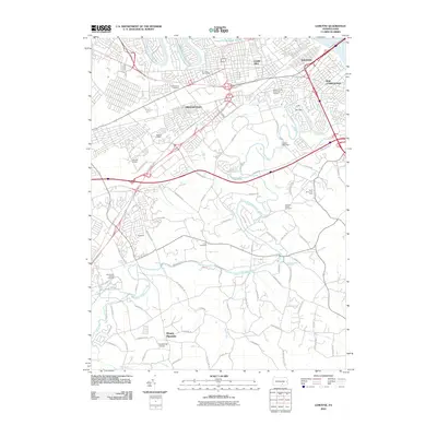 2010 Lemoyne2010 Print · USGSCovers Fairview Township, including Harrisburg, Lower Allen, and other nearby areas
 - 2010 Map of Dover, 2010 Print
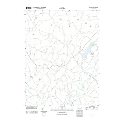
 2010 Dover2010 Print · USGSCovers Fairview Township, including Manchester Township, East Manchester Township, and other nearby areas
 - 2010 Map of Steelton, 2010 Print
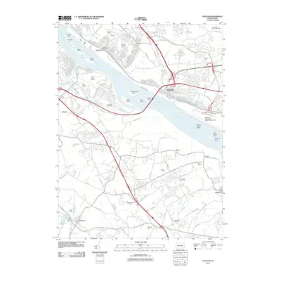 2010 Steelton2010 Print · USGSCovers Fairview Township, including Harrisburg, New Cumberland, and other nearby areas
 - 2010 Map of Wellsville, 2010 Print
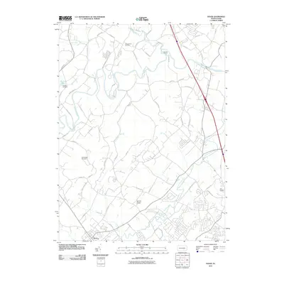
 2010 Wellsville2010 Print · USGSCovers Fairview Township, including Wellsville, Monaghan Township, and other nearby areas
 - 2013 Map of Steelton, 2013 Print
 2013 Steelton2013 Print · USGSCovers Fairview Township, including Harrisburg, New Cumberland, and other nearby areas
 - 2013 Map of Dover, 2013 Print
 2013 Dover2013 Print · USGSCovers Fairview Township, including Manchester Township, East Manchester Township, and other nearby areas
 - 2013 Map of Wellsville, 2013 Print
 2013 Wellsville2013 Print · USGSCovers Fairview Township, including Wellsville, Monaghan Township, and other nearby areas
 - 2013 Map of Lemoyne, 2013 Print
 2013 Lemoyne2013 Print · USGSCovers Fairview Township, including Harrisburg, Lower Allen, and other nearby areas
 - 2016 Map of Dover, 2016 Print
 2016 Dover2016 Print · USGSCovers Fairview Township, including Manchester Township, East Manchester Township, and other nearby areas
 - 2016 Map of Wellsville, 2016 Print
 2016 Wellsville2016 Print · USGSCovers Fairview Township, including Wellsville, Monaghan Township, and other nearby areas
 - 2016 Map of Steelton, 2016 Print
 2016 Steelton2016 Print · USGSCovers Fairview Township, including Harrisburg, New Cumberland, and other nearby areas
 - 2016 Map of Lemoyne, 2016 Print
 2016 Lemoyne2016 Print · USGSCovers Fairview Township, including Harrisburg, Lower Allen, and other nearby areas
 - 2019 Map of Wellsville, 2019 Print
 2019 Wellsville2019 Print · USGSCovers Fairview Township, including Wellsville, Monaghan Township, and other nearby areas
 - 2019 Map of Dover, 2019 Print
 2019 Dover2019 Print · USGSCovers Fairview Township, including Manchester Township, East Manchester Township, and other nearby areas
 - 2019 Map of Lemoyne, 2019 Print
 2019 Lemoyne2019 Print · USGSCovers Fairview Township, including Harrisburg, Lower Allen, and other nearby areas
 - 2019 Map of Steelton, 2019 Print
 2019 Steelton2019 Print · USGSCovers Fairview Township, including Harrisburg, New Cumberland, and other nearby areas
 - 2023 Map of Dover, 2023 Print
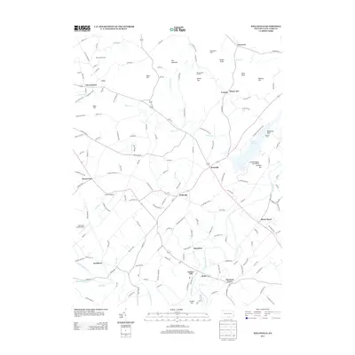
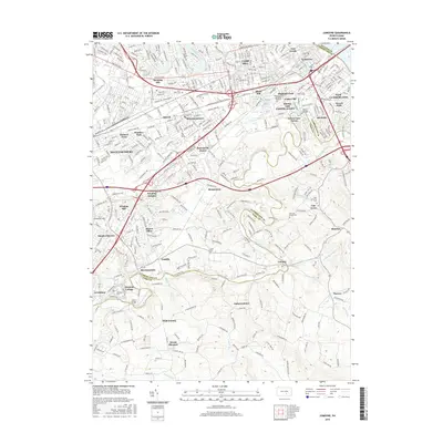
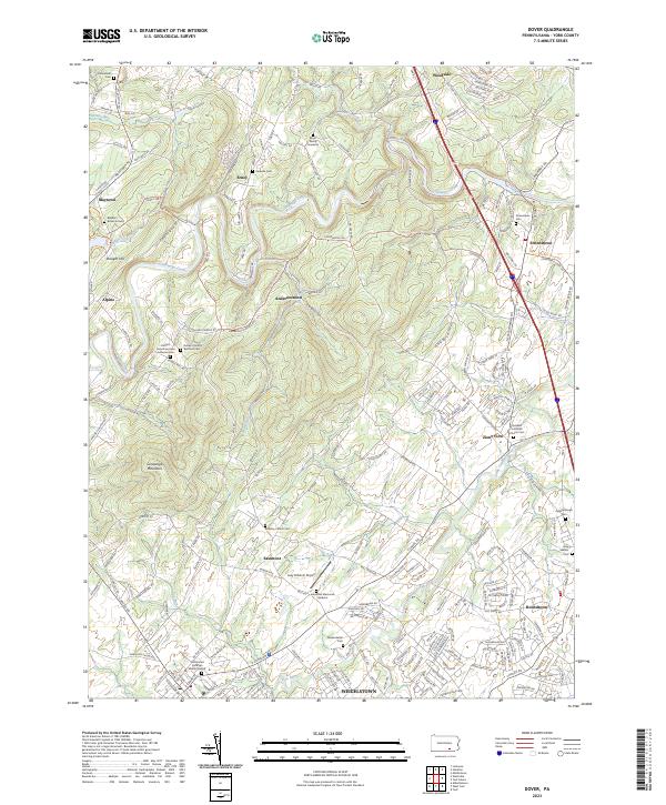 2023 Dover2023 Print · USGSNorthern York County in the early twenty-first century reveals a dense network of family cemeteries and rural crossroads. Genealogists can trace local roots at the Boyer Family Gravesite, Quickels Lutheran Church Cem, and the Old United Brethren Burial Ground.
 - 2023 Map of Steelton, 2023 Print
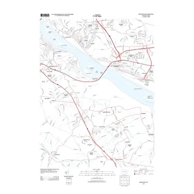
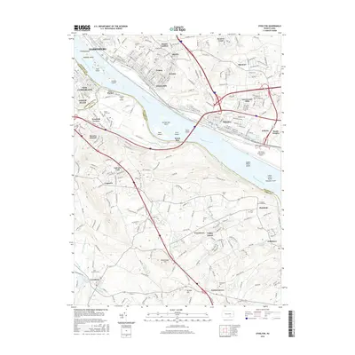
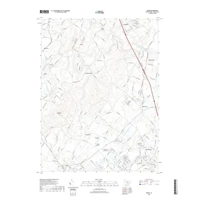
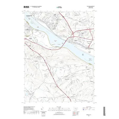
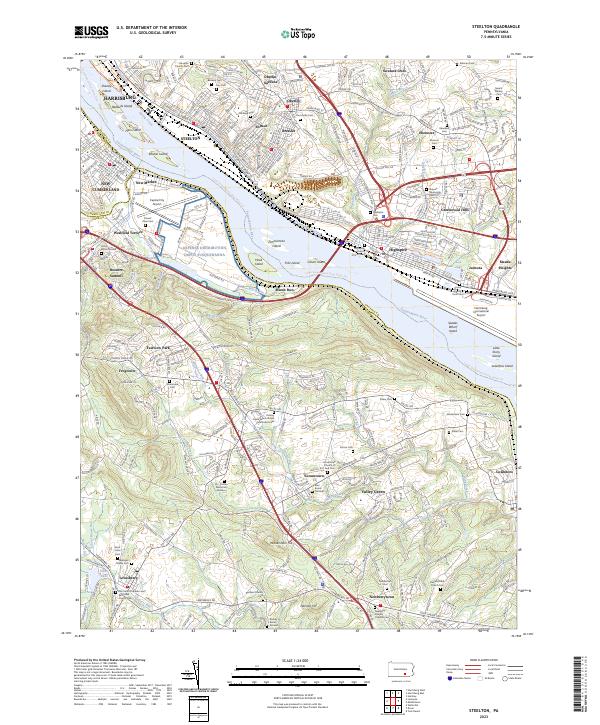 2023 Steelton2023 Print · USGSThe riverfront communities south of Harrisburg are captured in detail here, from the industrial corridors of Steelton to the heights of Yocumtown. Researchers can locate numerous family burial grounds and historic sites like the Pennsylvania Canal, Stoner Family Farm Cem, and Newberry Friends Original Cem.
 - 2023 Map of Wellsville, 2023 Print
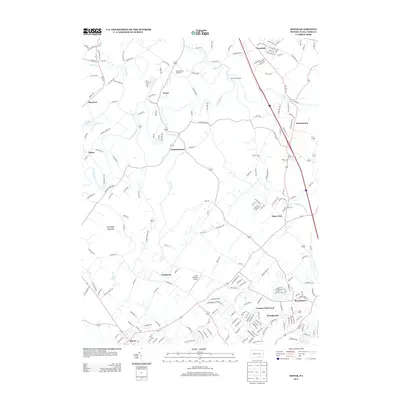
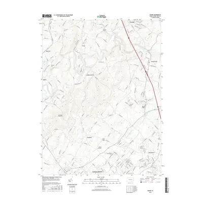
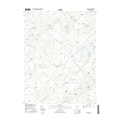
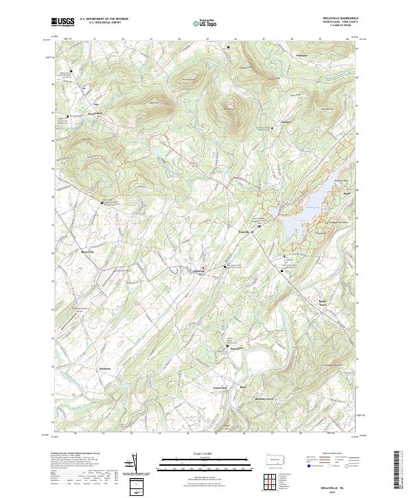 2023 Wellsville2023 Print · USGSNorthern York County’s rural character is preserved here in the early twenty-first century, showing the enduring layouts of Wellsville and its surrounding hamlets. Genealogists can trace family names at Warrington Friends Meeting House Cem, Detters Mill, and the many rural churchyards dotting the slopes of Conewago Mountain.
 - 2023 Map of Lemoyne, 2023 Print
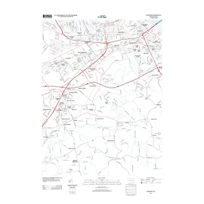
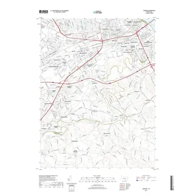
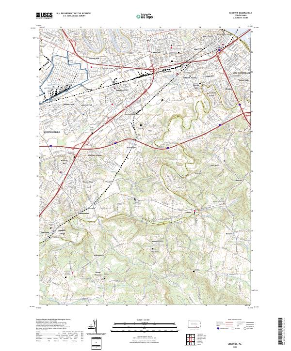 2023 Lemoyne2023 Print · USGSThe West Shore of the Susquehanna thrives in the early twenty-first century, balancing suburban growth with historic river hamlets. Researchers can trace family sites at Eberlys Mill, Messiah College, and Lisburn Cem.
End of results
Showing maps 1-20 of 20
Top cities near Fairview Township
- Harrisburg historical maps
- York historical maps
- Colonial Park historical maps
- Hershey historical maps
- Progress historical maps
- Middletown historical maps
See more
Top neighborhoods of Fairview Township
- Fair Acres historical maps
- Nauvoo historical maps
- Nauvoo Estates historical maps
- Reesers Summit historical maps
- Olde Orchard Hill historical maps
- Pinetown historical maps
See more
Frequently asked questions
- What are the different types of historical maps available for Fairview Township?
- What is the oldest map of Fairview Township?
- Where can I purchase historical maps of Fairview Township for my home or office?
- Where can I download high-res historical maps of Fairview Township?
- Are there historical topographic maps available for Fairview Township?
- Is there historical aerial imagery available for Fairview Township?
- Where are historical maps of Fairview Township sourced from?