Old Maps of Shrewsbury, Pennsylvania for Genealogy
Trace your family roots with 26 historic maps of Shrewsbury. These high-res maps reveal old neighborhoods, homesites, landmarks, and streets — helping you uncover where your ancestors lived and how the area evolved over time.
- Explore historic neighborhoods: Identify where your relatives may have lived in the 1800s or 1900s.
- Compare maps over time: Trace the changes in streets, buildings, and landmarks for multi-generational research.
- Perfect for genealogy & ancestry research: Used by family historians and researchers to map out lineage and migration.
These maps are an incredible resource for exploring your personal connection to Shrewsbury's past.
Shrewsbury, PA maps
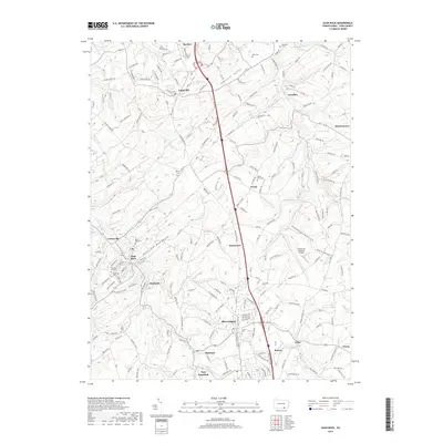
(26)- 1900 Map of Parkton
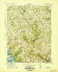
 1900 Parkton1900 Print · USGSThe Pennsylvania-Maryland borderlands in the early 1900s were defined by the busy Northern Central RR and the many mills along Gunpowder Falls. Researchers can trace old family locales and crossroads like Philopolis, Mount Carmel Ch, and Gorsuchs Mills.
 - 1902 Map of Parkton
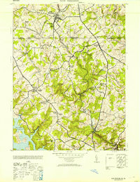
 1902 Parkton1902 Print · USGSMaryland and Pennsylvania borders were still defined by active rail and milling economies when this survey was completed. Genealogists can trace family homesteads near Gorsuchs Mills, the Northern Central R.R. corridor, and the historic Maryland Line.7 unique versions available
 - 1908 Map of York, 1963 Print
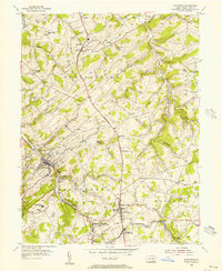
 1908 York1963 Print · USGSYork County's diverse industrial and agricultural landscape is captured here in the early twentieth century. Researchers can trace ancestral property near dozens of local landmarks like Margaretta Furnace, Smalls School, and the Camp Meeting Grounds.
 - 1910 Map of York
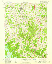
 1910 York1910 Print · USGSYork County at the turn of the century reveals a landscape shaped by rail expansion and deep-rooted rural industry. Genealogists and historians can trace family-named sites like Sechrist Mill, Klein School, and Hopewell Church along the winding Maryland & Pennsylvania RR.6 unique versions available
 - 1944 Map of New Freedom
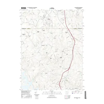
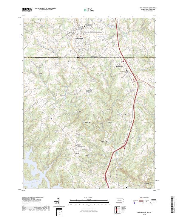
 1944 New Freedom1944 Print · USGSThe Pennsylvania-Maryland border during the mid-forties reveals a rural landscape of tight-knit communities centered on the Pennsylvania Railroad. Genealogists and historians can trace the foundations of local life through the Summit Grove Camp Meeting, Bentley Springs, and the 6th District Consolidated School.
 - 1948 Map of Baltimore
 1948 Baltimore1948 Print · USGSMaryland and Pennsylvania crossroads are captured in the late 1940s, showing a landscape defined by historic rail lines and major military installations. Genealogists can trace family connections in Gettysburg, Westminster, and near the U.S. Naval Academy in Annapolis.2 unique versions available
 - 1953 Map of New Freedom
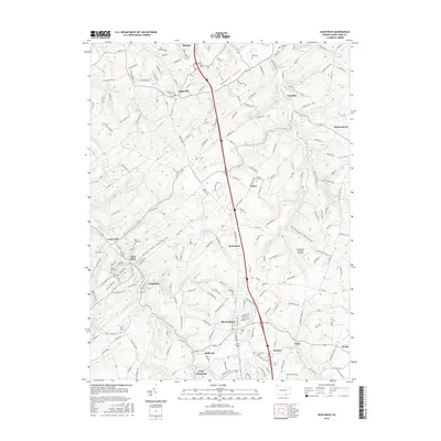
 1953 New Freedom1953 Print · USGSThe Pennsylvania-Maryland border country comes to life in the early fifties, showing the rail-linked hamlets between York and Baltimore counties. Genealogists can trace family roots through sites like Summit Grove Camp Meeting, Heathcote Mill, and Ruhls School.
 - 1954 Map of Baltimore
 1954 Baltimore1954 Print · USGSThe Mid-Atlantic region in the early fifties shows a landscape of growing suburban centers and heavy rail corridors. Trace mid-century transit networks and military landmarks from the Aberdeen Proving Ground to the Gettysburg National Military Park.
 - 1954 Map of Glen Rock, 1956 Print
 1954 Glen Rock1956 Print · USGSSouthern York County in the mid-fifties is characterized by the busy rail corridor between Glen Rock and New Freedom. Researchers can trace old family schoolhouses like Krout Sch, historic country churches such as Bupps Union Ch, and the winding Susquehanna Trail.6 unique versions available
 - 1956 Map of Baltimore
 1956 Baltimore1956 Print · USGSMid-century Maryland and Pennsylvania are captured here during a period of massive suburban and military growth across the Chesapeake region. Genealogists and historians can trace the rail corridors of the Baltimore & Ohio RR and locate landmarks like Fort McHenry or the Aberdeen Proving Ground.
 - 1957 Map of Baltimore, 1964 Print
 1957 Baltimore1964 Print · USGSMaryland and Southern Pennsylvania are shown during the mid-century expansion of the Baltimore-Washington corridor. Researchers can trace the extensive rail lines of the Baltimore & Ohio RR and locate sites like Fort Detrick and Gettysburg National Military Park.5 unique versions available
 - 1958 Map of New Freedom, 1959 Print
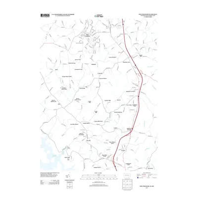
 1958 New Freedom1959 Print · USGSThe Mason-Dixon line divides this mid-century landscape of rural border towns and water reservoirs. Genealogists can trace family names and small-scale industry across the Pennsylvania Railroad corridor, from the mills at Valley Mill to the post-office settlements of Maryland Line and Bentley Springs.5 unique versions available
 - 1961 Map of Baltimore
 1961 Baltimore1961 Print · USGSMaryland and Pennsylvania are captured at a mid-century peak of industrial and military expansion. Genealogists and historians can trace rail corridors like the Western Maryland Ry or locate regional landmarks such as Camp Detrick and Kent Island.
 - 1983 Map of York, 1984 Print
 1983 York1984 Print · USGSSouth Central Pennsylvania and Northern Maryland meet along the Susquehanna during the early eighties. Genealogists and local historians can trace the transit networks of Conrail and Amtrak through towns like Red Lion and Seven Valleys.2 unique versions available
 - 1989 Map of Baltimore
 1989 Baltimore1989 Print · USGSThe Mid-Atlantic corridor in the late eighties is captured here, from the Baltimore harbor to the Blue Ridge foothills. Researchers can trace the sprawling footprints of Aberdeen Proving Ground, the historic grounds of Gettysburg National Military Park, and the winding Susquehanna River.
 - 1999 Map of Glen Rock, 2001 Print
 1999 Glen Rock2001 Print · USGSSouthern York County at the end of the twentieth century shows a landscape of historic boroughs linked by winding creeks and modern interchanges. Genealogists and local historians can trace family sites at Friedensaal Ch Cem, the borough of Glen Rock, and the aptly named village of Railroad.
 - 2010 Map of Glen Rock, 2010 Print
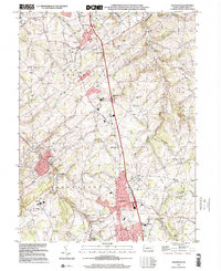
 2010 Glen Rock2010 Print · USGSCovers Shrewsbury, including New Freedom, Glen Rock, and other nearby areas
 - 2011 Map of New Freedom, 2011 Print
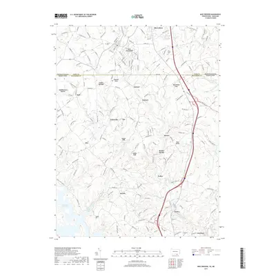
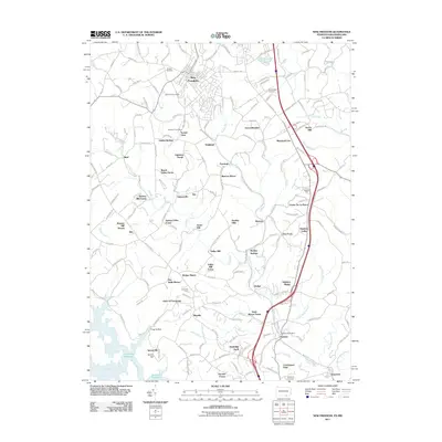 2011 New Freedom2011 Print · USGSCovers Shrewsbury, including New Freedom, Brook Valley Farms, and other nearby areas
 - 2013 Map of Glen Rock, 2013 Print
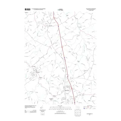 2013 Glen Rock2013 Print · USGSCovers Shrewsbury, including New Freedom, Glen Rock, and other nearby areas
 - 2013 Map of New Freedom, 2013 Print
 2013 New Freedom2013 Print · USGSCovers Shrewsbury, including New Freedom, Brook Valley Farms, and other nearby areas
 - 2016 Map of New Freedom, 2016 Print
 2016 New Freedom2016 Print · USGSCovers Shrewsbury, including New Freedom, Brook Valley Farms, and other nearby areas
 - 2016 Map of Glen Rock, 2016 Print
 2016 Glen Rock2016 Print · USGSCovers Shrewsbury, including New Freedom, Glen Rock, and other nearby areas
 - 2019 Map of New Freedom, 2019 Print
 2019 New Freedom2019 Print · USGSCovers Shrewsbury, including New Freedom, Brook Valley Farms, and other nearby areas
 - 2019 Map of Glen Rock, 2019 Print
 2019 Glen Rock2019 Print · USGSCovers Shrewsbury, including New Freedom, Glen Rock, and other nearby areas
 - 2023 Map of New Freedom, 2023 Print
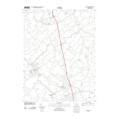
 2023 New Freedom2023 Print · USGSCrossing the Pennsylvania-Maryland line in the current era, this map shows a landscape of small border towns and deep family history. Researchers can find numerous local landmarks like Bentley Springs, Maryland Line, and the historic Kelley Family Cem.
Showing maps 1-25 of 26
Top cities near Shrewsbury
- York historical maps
- West Manheim Township historical maps
- Hampstead historical maps
- Red Lion historical maps
- Manchester historical maps
- West York historical maps
See more
Top neighborhoods of Shrewsbury
Frequently asked questions
- What are the different types of historical maps available for Shrewsbury?
- What is the oldest map of Shrewsbury?
- Where can I purchase historical maps of Shrewsbury for my home or office?
- Where can I download high-res historical maps of Shrewsbury?
- Are there historical topographic maps available for Shrewsbury?
- Is there historical aerial imagery available for Shrewsbury?
- Where are historical maps of Shrewsbury sourced from?