Old Maps of Little Water, Shiprock Agency for Hiking & Exploration
Hike through history with 15 historic maps of Little Water. Explore old trails, ghost towns, and forgotten backroads — perfect for outdoor adventurers and local explorers.
- Rediscover forgotten places: Map out old mining camps, roads, and footpaths that no longer exist on modern maps.
- Layer with modern tools: Combine with LiDAR or satellite views to plan hikes through historical terrain.
- Made for exploration: Popular among hikers, overlanders, and local history lovers.
Use these maps to find adventure and explore the hidden past of Little Water.
Little Water, Shiprock Agency maps
(15)- 1889 Map of Chaco
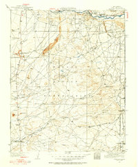
 1889 Chaco1889 Print · USGSNorthwestern New Mexico appears here in the late nineteenth century as a frontier of emerging river settlements and high-desert springs. Researchers can trace early footprints at Farmington and Aztec, or locate watering points like Sheep Spring and Seven Lakes.
 - 1892 Map of Chaco
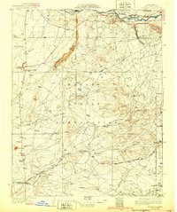
 1892 Chaco1892 Print · USGSNorthwestern New Mexico in the late nineteenth century reveals the early river-side foundations of the Four Corners region. Genealogists and historians can trace the development of Farmington, Aztec, and Jewett along the San Juan River and the high desert outpost of Seven Lakes.5 unique versions available
 - 1927 Map of Sulphur Spring
 1927 Sulphur Spring1927 Print · USGSSan Juan County was a region of remote outposts and river crossings during the late 1920s. Researchers can trace the early desert road network including the Shiprock Gallup Highway and locate historic hubs like Wheeler Trading Post and Bisti Trading Post.
 - 1928 Map of Kirtland, 1955 Print
 1928 Kirtland1955 Print · USGSSan Juan County at the close of the 1920s shows a landscape of riverfront farming and remote desert commerce. Genealogists and historians can trace the network of isolated hubs like Wheeler Trading Post, Nava PO, and the early workings of a Coal Mine.
 - 1932 Map of Kirtland
 1932 Kirtland1932 Print · USGSThe Navajo Nation's high desert landscape and the San Juan River valley are documented here in the early thirties. Genealogists and historians can trace essential early hubs like the Wheeler Trading Post, the Oil Pumping Sta near Barber Peak, and the community at Fruitland.
 - 1954 Map of Shiprock
 1954 Shiprock1954 Print · USGSThe Four Corners region in the mid-fifties reveals a vast landscape of tribal lands and desert landmarks. Researchers can trace the mid-century footprints of the Navajo Indian Reservation, identifying remote Trading Posts, the early growth of Farmington, and the iconic spire of Ship Rock.5 unique versions available
 - 1958 Map of Shiprock
 1958 Shiprock1958 Print · USGSThe Four Corners region in the mid-fifties shows a vast network of remote outposts and river settlements. You can locate numerous historic sites like the Emmanuel Mission and several commercial hubs such as Burnham Trading Post and Bisti Trading Post.
 - 1959 Map of Shiprock
 1959 Shiprock1959 Print · USGSThe Four Corners region comes alive in the mid-fifties, showing the high desert outposts and river-valley towns of the Navajo Nation and San Juan County. Genealogists and researchers can locate remote landmarks like the Burnham Trading Post, Two Grey Hills, and the early Helium Plant.
 - 1966 Map of Little Water, 1969 Print
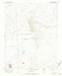 1966 Little Water1969 Print · USGSSan Juan County in the mid-1960s reveals a high-desert landscape on the Navajo Indian Reservation shaped by resource exploration and traditional settlements. Trace the early layout of Little Water and Tocito or locate industrial sites like mines and the PIPELINE.
 - 1980 Map of Toadlena, 1981 Print
 1980 Toadlena1981 Print · USGSSan Juan County and the Navajo Nation are shown in the 1980s as a landscape of high mesas and desert washes. Trace the routes between Toadlena, the Tsaya Trading Post, and the ancient grounds of Chaco Canyon National Monument.3 unique versions available
 - 2010 Map of Little Water, 2010 Print
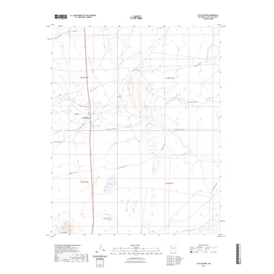
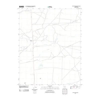 2010 Little Water2010 Print · USGSCovers Little Water, including Shiprock Agency, San Juan County, and other nearby areas
 - 2013 Map of Little Water, 2013 Print
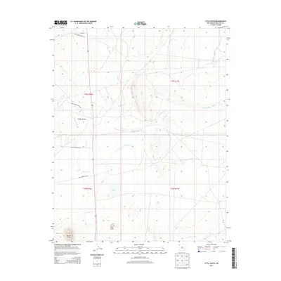 2013 Little Water2013 Print · USGSCovers Little Water, including Shiprock Agency, San Juan County, and other nearby areas
 - 2017 Map of Little Water, 2017 Print
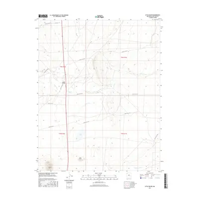 2017 Little Water2017 Print · USGSCovers Little Water, including Shiprock Agency, San Juan County, and other nearby areas
 - 2020 Map of Little Water, 2020 Print
 2020 Little Water2020 Print · USGSCovers Little Water, including Shiprock Agency, San Juan County, and other nearby areas
 - 2023 Map of Little Water, 2023 Print
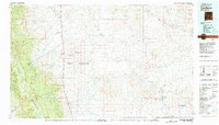
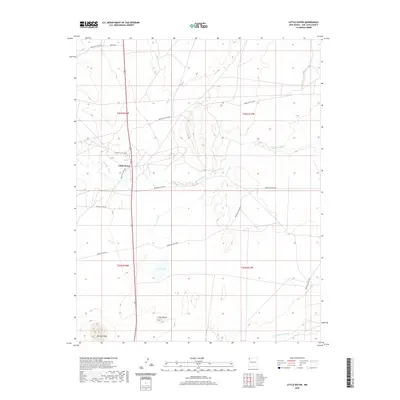
 2023 Little Water2023 Print · USGSThe Navajo Nation lands around Little Water are shown in this modern survey of San Juan County. Genealogists and historians can trace the community through its sacred sites at Little Water Cem West Cem and natural landmarks like Ford Butte and Tocito Lake.
End of results
Showing maps 1-15 of 15
Top cities near Little Water
Frequently asked questions
- What are the different types of historical maps available for Little Water?
- What is the oldest map of Little Water?
- Where can I purchase historical maps of Little Water for my home or office?
- Where can I download high-res historical maps of Little Water?
- Are there historical topographic maps available for Little Water?
- Is there historical aerial imagery available for Little Water?
- Where are historical maps of Little Water sourced from?