2000s (21st Century) Maps of North Augusta, South Carolina
Explore 15 historic maps of North Augusta from the 2000s (21st Century). These maps offer a rare glimpse into what life looked like during the 2000s — showing old roads, neighborhoods, homes, and landmarks that have changed or disappeared over time.
Whether you're researching your family's past, planning a metal detecting trip, or studying how North Augusta's landscape evolved across the 2000s, these high-resolution maps are a powerful tool for exploring the history of this region.
- Focus on a specific era: All maps on this page are from the 2000s, giving you a focused view of this time period.
- See what’s changed: Compare century-old streets, trails, and buildings to today's modern landscape using overlays and satellite layers.
- Research with precision: Use these maps for genealogy, historical research, land use analysis, or educational projects.
- View, download, or print: Maps are fully viewable online in high resolution, and can be downloaded or printed for your own records.
Start exploring North Augusta's history through authentic maps from the 2000s. This is your window into the past.
North Augusta, SC maps
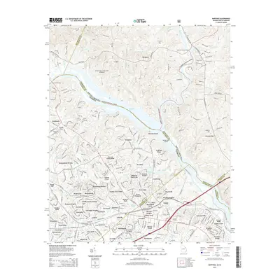
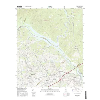
(15)- 2011 Map of Martinez, 2011 Print
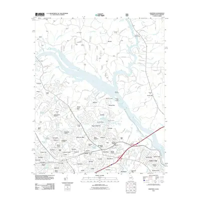 2011 Martinez2011 Print · USGSCovers North Augusta, including Augusta, Westport, and other nearby areas
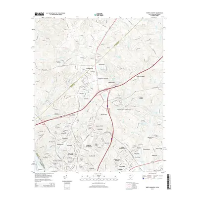
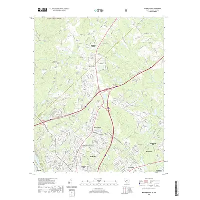
 - 2011 Map of North Augusta, 2011 Print
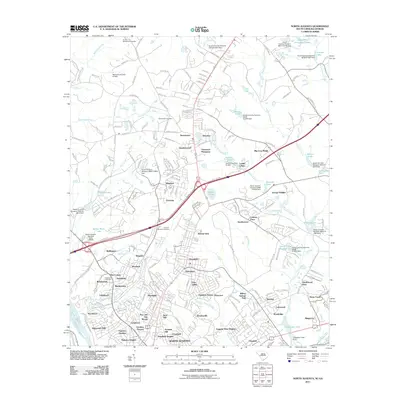 2011 North Augusta2011 Print · USGSCovers North Augusta, including Augusta, Burnettown, and other nearby areas
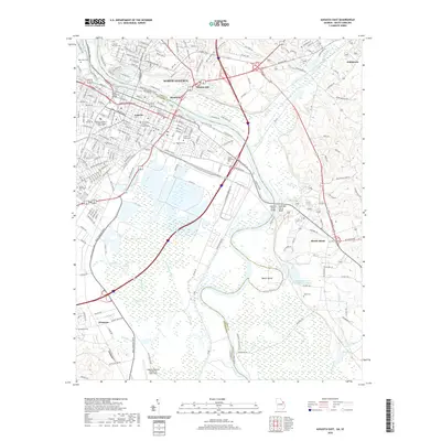
 - 2011 Map of Augusta East, 2011 Print
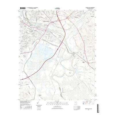
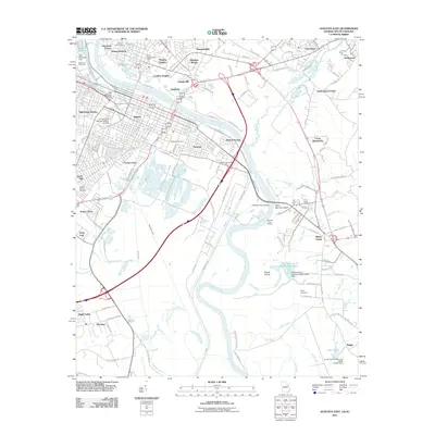 2011 Augusta East2011 Print · USGSCovers North Augusta, including Augusta, Lynns Ranchettes, and other nearby areas
 - 2014 Map of Augusta East, 2014 Print
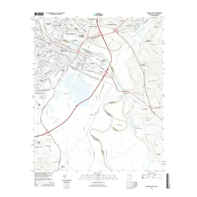 2014 Augusta East2014 Print · USGSCovers North Augusta, including Augusta, Lynns Ranchettes, and other nearby areas
 - 2014 Map of Martinez, 2014 Print
 2014 Martinez2014 Print · USGSCovers North Augusta, including Augusta, Westport, and other nearby areas
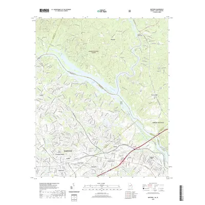
 - 2014 Map of North Augusta, 2014 Print
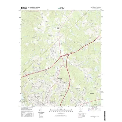
 2014 North Augusta2014 Print · USGSCovers North Augusta, including Augusta, Burnettown, and other nearby areas
 - 2017 Map of North Augusta, 2017 Print
 2017 North Augusta2017 Print · USGSCovers North Augusta, including Augusta, Burnettown, and other nearby areas
 - 2017 Map of Augusta East, 2017 Print
 2017 Augusta East2017 Print · USGSCovers North Augusta, including Augusta, Lynns Ranchettes, and other nearby areas
 - 2017 Map of Martinez, 2017 Print
 2017 Martinez2017 Print · USGSCovers North Augusta, including Augusta, Westport, and other nearby areas
 - 2020 Map of North Augusta, 2020 Print
 2020 North Augusta2020 Print · USGSCovers North Augusta, including Augusta, Burnettown, and other nearby areas
 - 2020 Map of Augusta East, 2020 Print
 2020 Augusta East2020 Print · USGSCovers North Augusta, including Augusta, Lynns Ranchettes, and other nearby areas
 - 2020 Map of Martinez, 2020 Print
 2020 Martinez2020 Print · USGSCovers North Augusta, including Augusta, Westport, and other nearby areas
 - 2024 Map of Martinez, 2024 Print
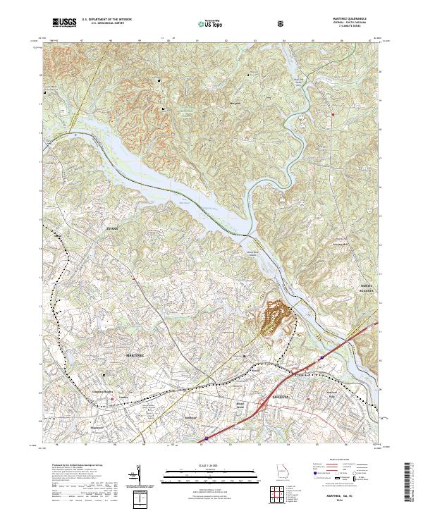 2024 Martinez2024 Print · USGSThe Savannah River borderlands between Georgia and South Carolina come alive in this modern survey of the Augusta suburbs. Researchers can trace ancestral sites like Abilene Baptist Church Cem or find old river landmarks including Ninety Nine Islands and Furys Ferry.
 - 2024 Map of Augusta East, 2024 Print
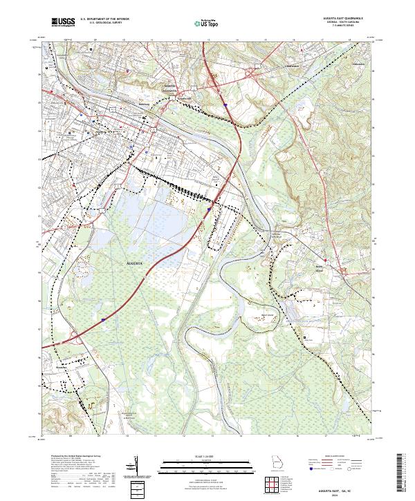 2024 Augusta East2024 Print · USGSThe Savannah River borderlands in Georgia and South Carolina are captured here in the mid-2020s, showing the modern evolution of these historic river cities. Researchers can trace local heritage through sites like Saint Pauls Episcopal Church, Zubly Cem, and the old settlement grounds at Hamburg.
 - 2024 Map of North Augusta, 2024 Print
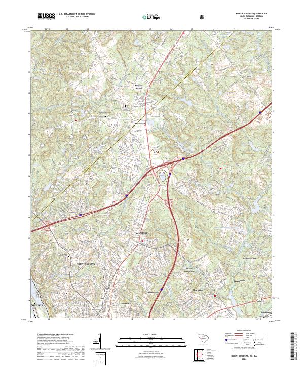 2024 North Augusta2024 Print · USGSNorth Augusta and the surrounding Aiken County suburbs are shown here in the contemporary era. Researchers can locate family heritage sites like Hammond Cem and the Mealing Grove Church Graveyard among growing communities.
End of results
Showing maps 1-15 of 15
Top cities near North Augusta
- Augusta historical maps
- Aiken historical maps
- Grovetown historical maps
- Hephzibah historical maps
- Burnettown historical maps
- Jackson historical maps
See more
Top neighborhoods of North Augusta
- Savannah Terrace historical maps
- Schultz Hill historical maps
- Sunset Heights historical maps
- Carolina Heights historical maps
- Mealing Heights historical maps
- Pinehurst historical maps
See more
Frequently asked questions
- What are the different types of historical maps available for North Augusta?
- What is the oldest map of North Augusta?
- Where can I purchase historical maps of North Augusta for my home or office?
- Where can I download high-res historical maps of North Augusta?
- Are there historical topographic maps available for North Augusta?
- Is there historical aerial imagery available for North Augusta?
- Where are historical maps of North Augusta sourced from?