Old Maps of Powdersville, South Carolina
Explore 30 old maps of Powdersville, spanning from 1888 to today. These high-resolution historic maps reveal how streets, neighborhoods, landmarks, and natural features evolved over time — perfect for genealogy, metal detecting, research, and local history exploration.
What you can do with these maps:
- See how Powdersville changed over time: Compare historical maps to modern-day views to trace roads, homesites, rail lines & more.
- View detailed metadata: Each map includes creators, publishers, year, scale, and archive source.
- Overlay maps with satellite & LiDAR: Visualize the past alongside modern tools to explore terrain & human change.
- Trusted historical sources: Maps sourced from the USGS, Library of Congress, and other archives.
- Access maps your way: View online, download high-res files, or order prints for personal or research use.
Start exploring old maps of Powdersville to uncover forgotten places, hidden landmarks, and the deep history beneath your feet.
Powdersville, SC maps
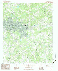
(30)- 1888 Map of Pickens
 1888 Pickens1888 Print · USGSThe South Carolina Piedmont comes alive in the late nineteenth century, showing the rural communities of Pickens and Anderson. Genealogists can trace family landmarks like Sutton's Mill, Six Mile Church, and river crossings at Cherry's Ferry.
 - 1894 Map of Pickens
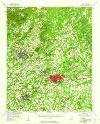
 1894 Pickens1894 Print · USGSNorthwest South Carolina in the late nineteenth century was a landscape of river-driven industry and emerging rail lines. Researchers can trace ancestral roots through family landmarks like Watson Mill, the community at Old Pickens, and the rural New Hope Church.6 unique versions available
 - 1935 Map of Greenville
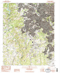
 1935 Greenville1935 Print · USGSGreenville and its surrounding Piedmont communities are shown in detail during the mid-1930s as the textile and rail economy expanded. Researchers can find numerous local landmarks like Chick Springs, the Judson Cemetery, and Travelers Rest.
 - 1938 Map of Greenville
 1938 Greenville1938 Print · USGSGreenville and its surrounding textile communities thrive in the mid-1930s as a major Piedmont industrial and rail hub. Researchers can locate numerous rural landmarks like the Rosenwald Sch, trace the Southern RR, or find family sites near Saluda Lake.2 unique versions available
 - 1954 Map of Greenville, 1965 Print
 1954 Greenville1965 Print · USGSThe Upstate and Northeast Georgia are captured here during a decade of massive transformation as new reservoirs reshaped the Piedmont. Genealogists and hikers can trace the Appalachian Trail over Brasstown Bald or locate old community centers like Demorest, Westminster, and Royston.3 unique versions available
 - 1957 Map of Greenville, 1958 Print
 1957 Greenville1958 Print · USGSGreenville in the late fifties is a thriving textile and education center surrounded by growing suburbs and military activity. Researchers can locate historic mill communities like Monaghan, the Furman University (Womens College), and the sprawling Donaldson Air Force Base.2 unique versions available
 - 1957 Map of Easley, 1958 Print
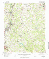
 1957 Easley1958 Print · USGSIn the mid-1950s, the textile and rail corridor between Easley and Liberty hummed with Piedmont industry. Genealogists and local historians can trace family roots through numerous rural sites like Bruce-Hagood Cem, Dacusville, and the historic Pickensville settlement.2 unique versions available
 - 1957 Map of Williamston, 1958 Print
 1957 Williamston1958 Print · USGSMid-century South Carolina comes into focus as textile towns and military installations expand across the Piedmont landscape. Genealogists can trace family roots through dozens of rural landmarks like McKelvey Crossroads, Standing Springs Ch, and Traynham Cem.2 unique versions available
 - 1957 Map of Greenville, 1959 Print
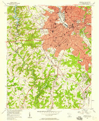
 1957 Greenville1959 Print · USGSGreenville and its industrial suburbs are captured during a period of rapid mid-century expansion and military prominence. Genealogists and historians can locate established mill communities like Monaghan, the sprawling Donaldson Air Force Base, and the campuses of Furman University and Bob Jones University.
 - 1958 Map of Greenville
 1958 Greenville1958 Print · USGSThe Piedmont and Blue Ridge foothills come alive in this mid-century survey of the Upstate and Northeast Georgia. Trace the regional rail-and-river economy through the Southern Railway corridors and early reservoir developments like Lake Sidney Lanier.
 - 1983 Map of Pelzer
 1983 Pelzer1983 Print · USGSThe Saluda River corridor in the early 1980s reveals the industrial and community ties between Anderson and Greenville counties. Local historians can trace numerous rural landmarks, including Bessie Pond Ch, the Seaboard Southern rail lines, and the growth of West Pelzer.2 unique versions available
 - 1983 Map of Easley
 1983 Easley1983 Print · USGSEasley and its surrounding rural communities are captured here in the early eighties, showcasing the area's growth along the Southern railroad. Genealogists can locate numerous local landmarks like Three and Twenty Ch, Rock Spring Ch, and the McKissick Sch.
 - 1983 Map of Greenville
 1983 Greenville1983 Print · USGSGreenville and its surrounding textile and rail suburbs are captured here in the early eighties. Researchers can trace family history through dozens of landmarks like Sirrine Stadium, the Judson Cem, and the Donaldson Center Airport.2 unique versions available
 - 1984 Map of Greenville
 1984 Greenville1984 Print · USGSThe South Carolina Upstate undergoes rapid suburban growth in the mid-eighties as modern interstates begin to reshape the landscape. Researchers can trace historic rail lines like the Greenville and Northern Railway and locate local landmarks such as Clemson University and Paris Mountain State Park.
 - 1991 Map of Greenville
 1991 Greenville1991 Print · USGSThe South Carolina Upstate was a landscape of rapid growth and engineering in the early nineties. Researchers can trace the expansion of Greenville and Spartanburg, find Clemson University, or study the massive reservoirs of Hartwell Lake and Lake Keowee.
 - 2011 Map of Pelzer, 2011 Print
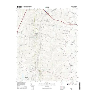
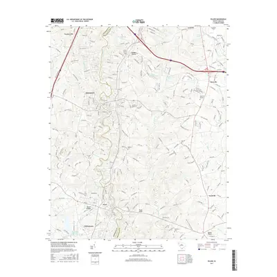
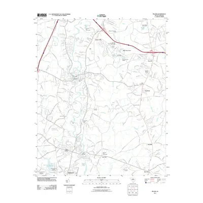 2011 Pelzer2011 Print · USGSCovers Powdersville, including Piedmont, Williamston, and other nearby areas
 - 2011 Map of Easley, 2011 Print
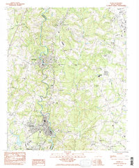
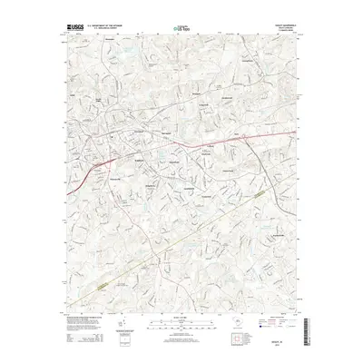
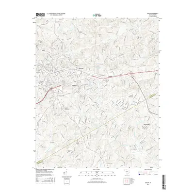
 2011 Easley2011 Print · USGSCovers Powdersville, including Easley, Lathem, and other nearby areas
 - 2011 Map of Greenville, 2011 Print
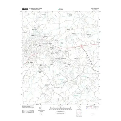
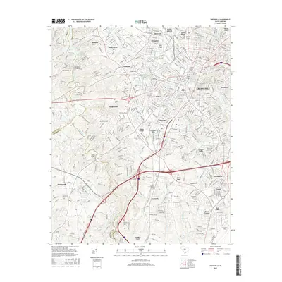
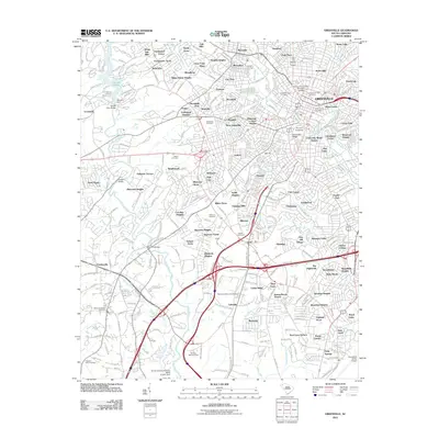 2011 Greenville2011 Print · USGSCovers Powdersville, including Greenville, Dreher Colony, and other nearby areas
 - 2014 Map of Pelzer, 2014 Print
 2014 Pelzer2014 Print · USGSCovers Powdersville, including Piedmont, Williamston, and other nearby areas
 - 2014 Map of Greenville, 2014 Print
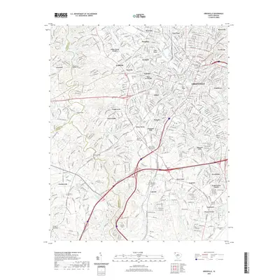
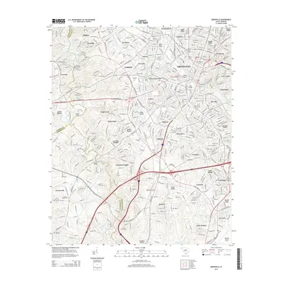 2014 Greenville2014 Print · USGSCovers Powdersville, including Greenville, Dreher Colony, and other nearby areas
 - 2014 Map of Easley, 2014 Print
 2014 Easley2014 Print · USGSCovers Powdersville, including Easley, Lathem, and other nearby areas
 - 2017 Map of Pelzer, 2017 Print
 2017 Pelzer2017 Print · USGSCovers Powdersville, including Piedmont, Williamston, and other nearby areas
 - 2017 Map of Easley, 2017 Print
 2017 Easley2017 Print · USGSCovers Powdersville, including Easley, Lathem, and other nearby areas
 - 2017 Map of Greenville, 2017 Print
 2017 Greenville2017 Print · USGSCovers Powdersville, including Greenville, Dreher Colony, and other nearby areas
 - 2020 Map of Greenville, 2020 Print
 2020 Greenville2020 Print · USGSCovers Powdersville, including Greenville, Dreher Colony, and other nearby areas
Showing maps 1-25 of 30
Top cities near Powdersville
- Greenville historical maps
- Greer historical maps
- Anderson historical maps
- Mauldin historical maps
- Easley historical maps
- Simpsonville historical maps
See more
Top neighborhoods of Powdersville
- Benton Park historical maps
- Cravens Creek historical maps
- River Mill historical maps
- Three Bridges historical maps
- Vantage at Powdersville historical maps
- Caledonia historical maps
See more
Frequently asked questions
- What are the different types of historical maps available for Powdersville?
- What is the oldest map of Powdersville?
- Where can I purchase historical maps of Powdersville for my home or office?
- Where can I download high-res historical maps of Powdersville?
- Are there historical topographic maps available for Powdersville?
- Is there historical aerial imagery available for Powdersville?
- Where are historical maps of Powdersville sourced from?