Old Maps of Starr, South Carolina
Explore 16 old maps of Starr, spanning from 1893 to today. These high-resolution historic maps reveal how streets, neighborhoods, landmarks, and natural features evolved over time — perfect for genealogy, metal detecting, research, and local history exploration.
What you can do with these maps:
- See how Starr changed over time: Compare historical maps to modern-day views to trace roads, homesites, rail lines & more.
- View detailed metadata: Each map includes creators, publishers, year, scale, and archive source.
- Overlay maps with satellite & LiDAR: Visualize the past alongside modern tools to explore terrain & human change.
- Trusted historical sources: Maps sourced from the USGS, Library of Congress, and other archives.
- Access maps your way: View online, download high-res files, or order prints for personal or research use.
Start exploring old maps of Starr to uncover forgotten places, hidden landmarks, and the deep history beneath your feet.
Starr, SC maps
(16)- 1893 Map of Elberton
 1893 Elberton1893 Print · USGSThe Georgia-South Carolina borderlands come alive in the 1890s, centering on the river-and-rail economy of the Savannah Valley. Genealogists can trace family names and early community hubs through Browns Ferry, Coldwater Church, and Ruckersville.5 unique versions available
 - 1954 Map of Greenville, 1965 Print
 1954 Greenville1965 Print · USGSThe Upstate and Northeast Georgia are captured here during a decade of massive transformation as new reservoirs reshaped the Piedmont. Genealogists and hikers can trace the Appalachian Trail over Brasstown Bald or locate old community centers like Demorest, Westminster, and Royston.3 unique versions available
 - 1958 Map of Greenville
 1958 Greenville1958 Print · USGSThe Piedmont and Blue Ridge foothills come alive in this mid-century survey of the Upstate and Northeast Georgia. Trace the regional rail-and-river economy through the Southern Railway corridors and early reservoir developments like Lake Sidney Lanier.
 - 1964 Map of Iva
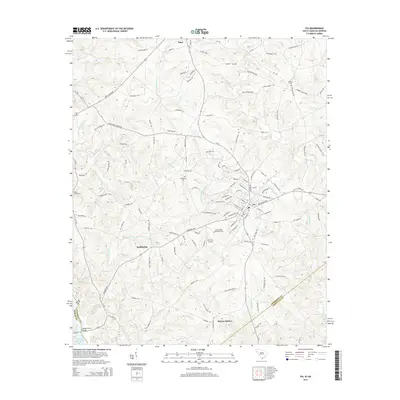
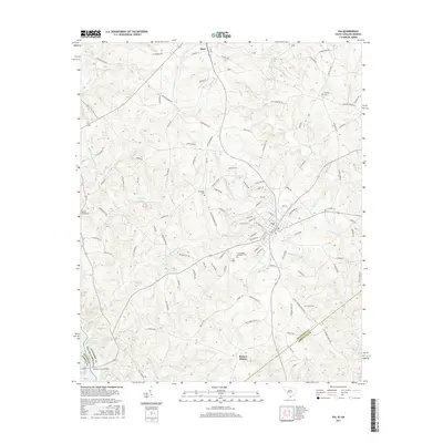
 1964 Iva1964 Print · USGSUpper South Carolina in the mid-sixties reveals a landscape of railroad towns and country congregations along the Georgia border. Genealogists can trace family footprints through numerous rural landmarks like Goodhope Cem, Barnes Station, and Pleasant Grove Ch.3 unique versions available
 - 1964 Map of Anderson South, 1965 Print
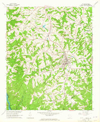
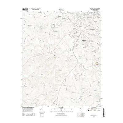
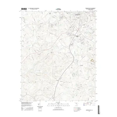
 1964 Anderson South1965 Print · USGSThe southern fringes of ANDERSON and the surrounding Piedmont countryside are captured in the early sixties as suburban growth met traditional rural life. Researchers can trace family sites near Silverbrook Cemetery or follow the rails to historic stops like Deans and Starr.3 unique versions available
 - 1979 Map of Abbeville, 1980 Print
 1979 Abbeville1980 Print · USGSThe South Carolina and Georgia borderlands are captured here during a period of significant hydroelectric development and regional growth. Researchers can trace the rail-and-river economy through the Seaboard Coast Line and landmarks like Hartwell Dam or the Silk Mills.2 unique versions available
 - 2011 Map of Anderson South, 2011 Print
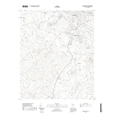
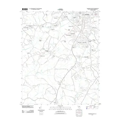 2011 Anderson South2011 Print · USGSCovers Starr, including Anderson, Greenbriar, and other nearby areas
 - 2011 Map of Iva, 2011 Print
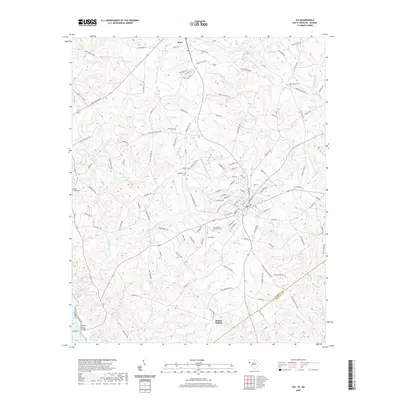
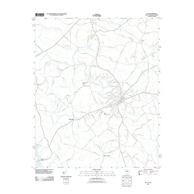 2011 Iva2011 Print · USGSCovers Starr, including Iva, Barnes Station, and other nearby areas
 - 2014 Map of Iva, 2014 Print
 2014 Iva2014 Print · USGSCovers Starr, including Iva, Barnes Station, and other nearby areas
 - 2014 Map of Anderson South, 2014 Print
 2014 Anderson South2014 Print · USGSCovers Starr, including Anderson, Greenbriar, and other nearby areas
 - 2017 Map of Iva, 2017 Print
 2017 Iva2017 Print · USGSCovers Starr, including Iva, Barnes Station, and other nearby areas
 - 2017 Map of Anderson South, 2017 Print
 2017 Anderson South2017 Print · USGSCovers Starr, including Anderson, Greenbriar, and other nearby areas
 - 2020 Map of Anderson South, 2020 Print
 2020 Anderson South2020 Print · USGSCovers Starr, including Anderson, Greenbriar, and other nearby areas
 - 2020 Map of Iva, 2020 Print
 2020 Iva2020 Print · USGSCovers Starr, including Iva, Barnes Station, and other nearby areas
 - 2024 Map of Anderson South, 2024 Print
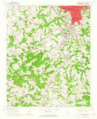
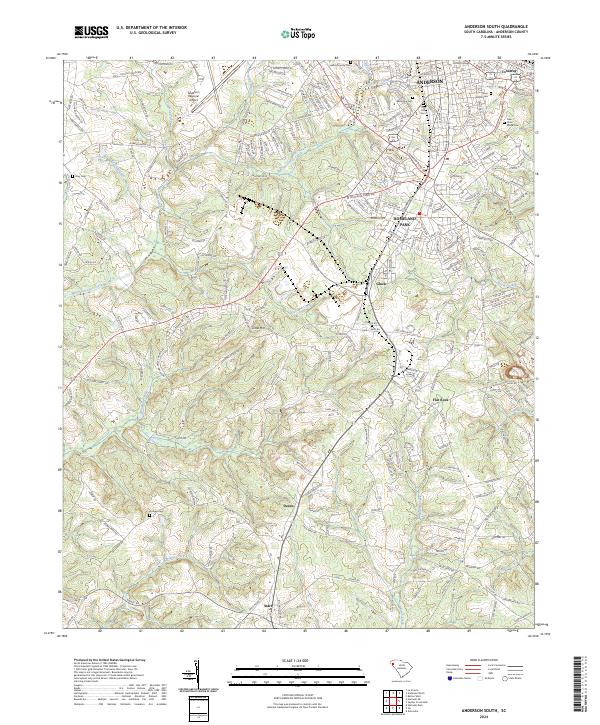 2024 Anderson South2024 Print · USGSThe southern outskirts of Anderson come into focus during this period of contemporary growth and rural preservation. Genealogists can trace family sites through numerous local burial grounds like Orr Mill Cem and Hodges Cem while following the CSX Transportation rail line through Deans and Starr.
 - 2024 Map of Iva, 2024 Print
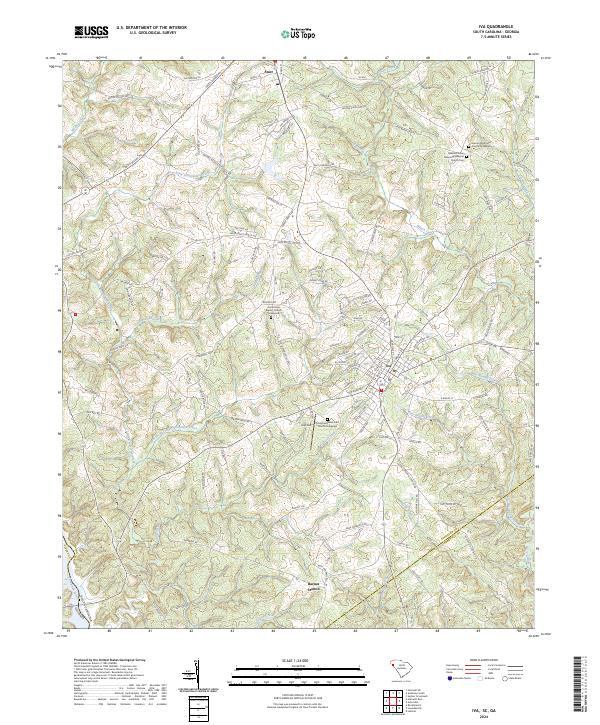 2024 Iva2024 Print · USGSIva and Starr are captured in the twenty-first century as they anchor a rural landscape defined by the drainage of the Savannah River. Researchers can trace old family road names and locate several historic spiritual hubs, including Hebron Methodist Church and Good Hope Baptist Church.
End of results
Showing maps 1-16 of 16
Top cities near Starr
- Anderson historical maps
- Belton historical maps
- Hartwell historical maps
- Williamston historical maps
- Iva historical maps
- Meadow Brook historical maps
See more
Frequently asked questions
- What are the different types of historical maps available for Starr?
- What is the oldest map of Starr?
- Where can I purchase historical maps of Starr for my home or office?
- Where can I download high-res historical maps of Starr?
- Are there historical topographic maps available for Starr?
- Is there historical aerial imagery available for Starr?
- Where are historical maps of Starr sourced from?