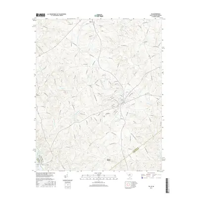
2017 Map of Iva
USGS Topo · Published 2017About this map
Iva stands as the central hub of this South Carolina landscape, situated where the borders of Anderson and Abbeville counties meet. The town's grid is surrounded by a dense network of rural roads and family-named landmarks that speak to the area's agricultural and social foundations. Notable community sites include the Cross Roads Methodist Cem and the local airstrip at Iva Field. To the north, the settlement of Starr anchors the map, while Barnes Station marks a distinct point to the south along the transportation corridor.
Find a feature on this map
116 named features on this map. Tap any name to fly to it.
Don’t see what you’re looking for? This feature index may not catch every label — zoom into the map to look around manually.
Map Details
Editions of this 2017 Iva Map
This is the sole edition of this map. No revisions or reprints were ever made.
Other maps of this area
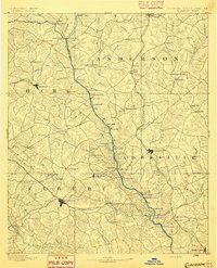
1893 · Elberton
USGS Topo · 1:125,000
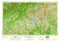
1954 · Greenville
USGS Topo · 1:250,000
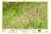
1958 · Greenville
USGS Topo · 1:250,000
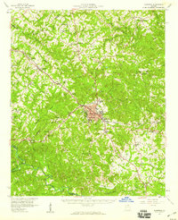
1958 · Elberton
USGS Topo · 1:62,500
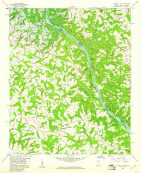
1959 · Hartwell Dam
USGS Topo · 1:24,000
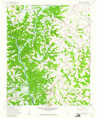
1959 · Hartwell NE
USGS Topo · 1:24,000
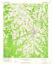
1964 · Iva
USGS Topo · 1:24,000
1964 · Antreville
USGS Topo · 1:24,000
1964 · Lowndesville
USGS Topo · 1:24,000
1964 · Saylors Crossroads
USGS Topo · 1:24,000