
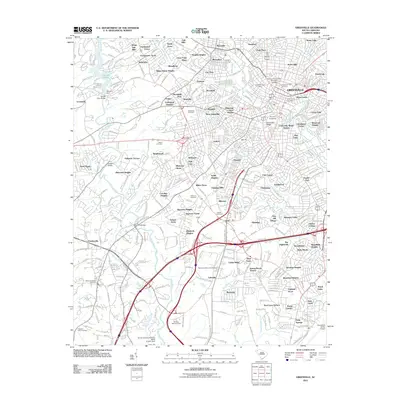
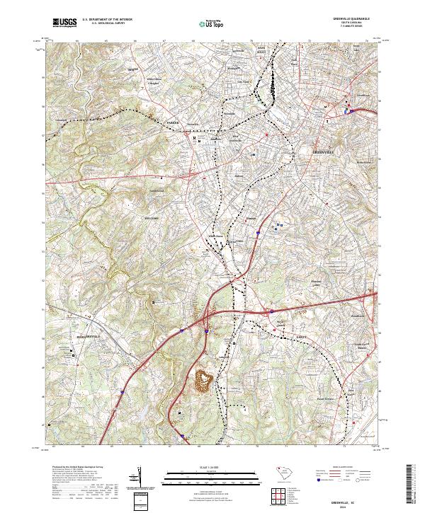
1958 Map of Greenville
USGS Topo · Published 1958About this map
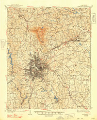
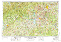
Greenville and Anderson anchor this mid-century survey of the Piedmont and Blue Ridge regions, appearing at a time of significant hydrological and industrial change. The map shows the expanding Lake Sidney Lanier in Georgia and Lake Greenwood in South Carolina, while the future Lake Hartwell and Lake Keowee basins are still defined by the natural courses of the Savannah River and Tugaloo River. A dense rail network including the Southern Railway and Piedmont and Northern connects textile centers like Spartanburg, Laurens, and Greenwood. To the northwest, the terrain rises sharply toward the Blue Ridge Mountains, marked by high peaks such as Brasstown Bald and Rabun Bald. The document captures the region just as the Interstate system was beginning to overlay the established U.S. highway routes like U S 29 and U S 123.
Find a feature on this map
87 named features on this map. Tap any name to fly to it.
Don’t see what you’re looking for? This feature index may not catch every label — zoom into the map to look around manually.
Map Details
Editions of this 1958 Greenville Map
This is the sole edition of this map. No revisions or reprints were ever made.
Historical Maps of Athens Through Time
14 maps found

1935 Greenville
Greenville County, SC
1938 Greenville
Greenville County, SC
1954 Greenville
Greenville County, SC

1957 Greenville
Greenville County, SC
1957 Greenville
Greenville County, SC
1958 Greenville
Greenville County, SC
1983 Greenville
Greenville County, SC

1984 Greenville
Greenville County, SC

1991 Greenville
Greenville County, SC
2011 Greenville
Greenville County, SC
2014 Greenville
Greenville County, SC
2017 Greenville
Greenville County, SC
2020 Greenville
Greenville County, SC
2024 Greenville
Greenville County, SC