
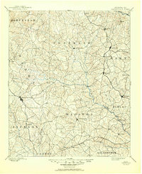
1891 Map of Carnesville
USGS Topo · Published 1891About this map
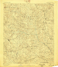
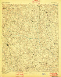
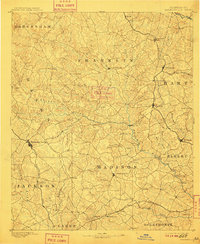
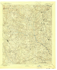
The Broad River and its numerous tributaries define the drainage of this late nineteenth-century landscape, carving a complex network of ridges across Franklin, Madison, and Hart counties. Carnesville and Danielsville serve as the primary interior hubs, connected by a web of wagon roads that predates the modern highway system. Evidence of the era's river-based transport and early rail expansion is visible at Braggs Fy. on the river and along the North Eastern Road passing through Harmony Grove. The map records several small, localized settlements like Jewellville, Salubrity, and Fort Lamar, which provide valuable location data for genealogists tracing Northeast Georgia families. This period shows a transition where traditional river crossings and small post-stop communities began to interface with newer rail junctions at Royston and Bowersville.
Find a feature on this map
93 named features on this map. Tap any name to fly to it.
Don’t see what you’re looking for? This feature index may not catch every label — zoom into the map to look around manually.
Map Details
Editions of this 1891 Carnesville Map
6 editions found
Other maps of this area

1886 · Dahlonega
USGS Topo · 1:125,000

1886 · Walhalla
USGS Topo · 1:125,000

1888 · Pickens
USGS Topo · 1:125,000

1891 · Gainesville
USGS Topo · 1:125,000

1892 · Dahlonega
USGS Topo · 1:125,000

1892 · Walhalla
USGS Topo · 1:125,000

1893 · Elberton
USGS Topo · 1:125,000

1894 · Pickens
USGS Topo · 1:125,000

1896 · Walhalla
USGS Topo · 1:125,000

1896 · Monroe
USGS Topo · 1:125,000