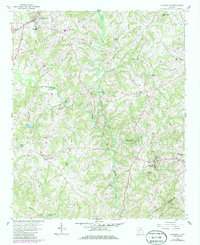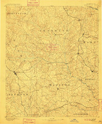
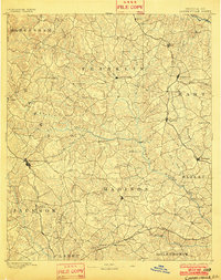
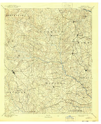
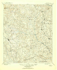
1891 Map of Carnesville
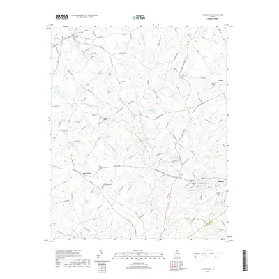
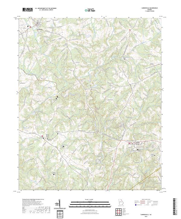
USGS Topo · Published 1909About this map
Carnesville and Danielsville anchor this 1889 survey of Northeast Georgia, a landscape defined by the intricate dendritic drainage of the Hudson River and Broad River. This era of transport relies heavily on river crossings, evidenced by the numerous family-named ferries along the Broad River, including Bragg Fy., Daniel Fy., and Moore Fy.. The map documents a pivotal moment in regional connectivity where the Elberton Air Line Rail Road cuts through the eastern terrain, linking settlements like Bowersville and Royston. Outside the established county seats, a network of smaller communities such as Fort Lamar, Hix, and Harmony Grove are interconnected by early thoroughfares like the Gainesville Road, illustrating the late 19th-century transition from isolated rural outposts to a more integrated rail-and-road economy.
Find a feature on this map
91 named features on this map. Tap any name to fly to it.
Don’t see what you’re looking for? This feature index may not catch every label — zoom into the map to look around manually.
Map Details
Editions of this 1891 Carnesville Map
6 editions found

Historical Maps of Athens Through Time
7 maps found