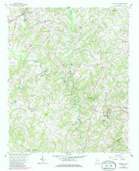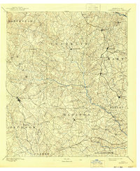
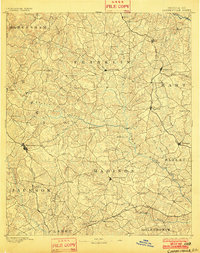
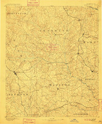
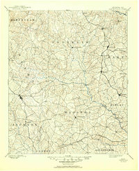
1891 Map of Carnesville
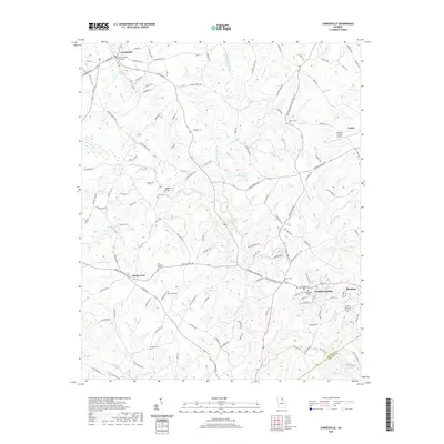
USGS Topo · Published 1930About this map
The Broad River and its numerous tributaries, including the Hudson River and Middle Fork, define the landscape of Northeast Georgia as it stood in the late nineteenth century. Small river-crossing communities such as Daniel Fy, Moore Fy, and Payton Fy illustrate the vital role of ferries in the local economy before the proliferation of bridges. This era captures the region's transition into the railroad age, evidenced by the path of the Elberton Air Line Rail Road connecting towns like Lavonia and Royston. Settlement patterns here show a mix of established county seats like Carnesville and Danielsville alongside rural centers like Harmony Grove and Fort Lamar, providing a clear view of the inland South's agricultural and transportation network before twentieth-century modernization.
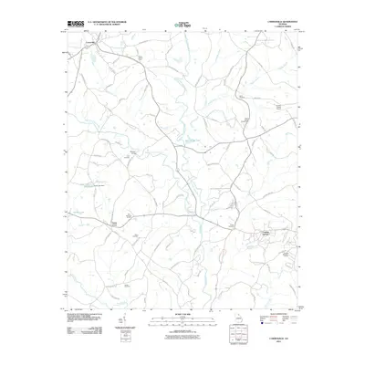
Find a feature on this map
79 named features on this map. Tap any name to fly to it.
Don’t see what you’re looking for? This feature index may not catch every label — zoom into the map to look around manually.
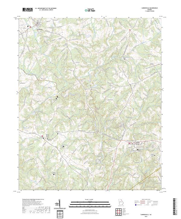
Map Details
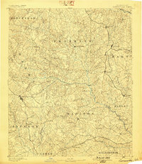
Editions of this 1891 Carnesville Map
6 editions found

Historical Maps of Athens Through Time
7 maps found