
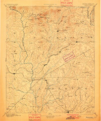
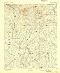
1894 Map of Pickens
USGS Topo · Published 1894About this map
The Seneca River and its major tributaries, including the Keowee River and Whitewater River, form the hydrographic backbone of this northwest South Carolina landscape. This late nineteenth-century survey captures a transition in regional connectivity, as older river-crossings like Cherry Ferry and the Shallow Ford exist alongside newer infrastructure such as the Ravenel Bridge and Earle Bridge. The economy is clearly defined by local milling operations, with family-named sites like Sutton Mills, Richardson Mill, and Watson Mill scattered along the creeks.
Find a feature on this map
124 named features on this map. Tap any name to fly to it.
Don’t see what you’re looking for? This feature index may not catch every label — zoom into the map to look around manually.
Map Details
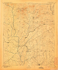
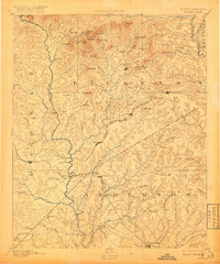
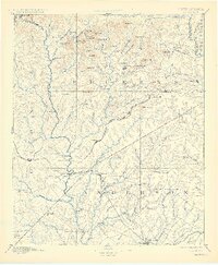
Editions of this 1894 Pickens Map
6 editions found
Other maps of this area

1886 · Walhalla
USGS Topo · 1:125,000

1888 · Pickens
USGS Topo · 1:125,000

1891 · Cowee
USGS Topo · 1:125,000

1891 · Carnesville
USGS Topo · 1:125,000

1892 · Walhalla
USGS Topo · 1:125,000

1892 · Abbeville
USGS Topo · 1:125,000

1893 · Elberton
USGS Topo · 1:125,000

1896 · Walhalla
USGS Topo · 1:125,000

1897 · Cowee
USGS Topo · 1:125,000

1905 · Pisgah
USGS Topo · 1:125,000