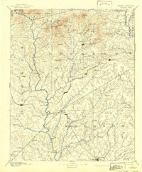
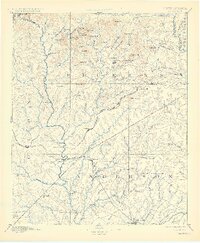
1894 Map of Pickens
USGS Topo · Published 1942About this map
The KeowEE River and Seneca River define the western landscape of the upstate in this late 19th-century survey. The terrain transitions from the heights of Potato Hill Mt and Fox Squirrel Ridge in the north down toward the expanding rail hubs of the Piedmont. Transport is the lifeblood of the era, seen in the convergence of the Atlanta and Charlotte Air Line R. R. and the Belton and Seneca R. R..
Find a feature on this map
119 named features on this map. Tap any name to fly to it.
Don’t see what you’re looking for? This feature index may not catch every label — zoom into the map to look around manually.
Map Details
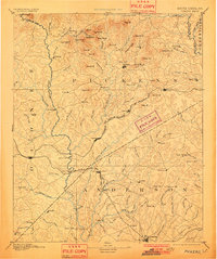
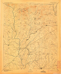
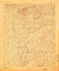
Editions of this 1894 Pickens Map
6 editions found
Other maps of this area

1886 · Walhalla
USGS Topo · 1:125,000

1888 · Pickens
USGS Topo · 1:125,000

1891 · Cowee
USGS Topo · 1:125,000

1891 · Carnesville
USGS Topo · 1:125,000

1892 · Walhalla
USGS Topo · 1:125,000

1892 · Abbeville
USGS Topo · 1:125,000

1893 · Elberton
USGS Topo · 1:125,000

1894 · Pickens
USGS Topo · 1:125,000

1896 · Walhalla
USGS Topo · 1:125,000

1897 · Cowee
USGS Topo · 1:125,000