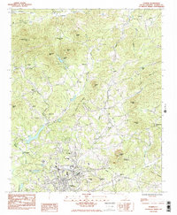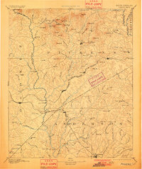
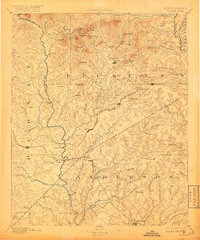
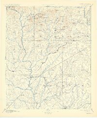
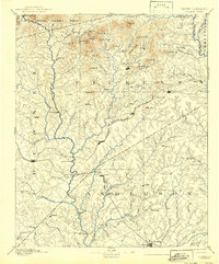
1894 Map of Pickens
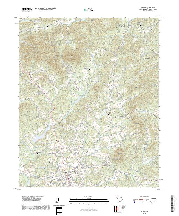
USGS Topo · Published 1901About this map
The Keowee River and Seneca River serve as the dominant natural boundaries in this late nineteenth-century survey, dividing the landscape of Pickens, Oconee, and Anderson counties. The movement of goods and people during this era was defined by river crossings and nascent rail lines, with infrastructure like Ravenel Bridge, Cherry Ferry, and the Earle Bridge providing critical links. The influence of the Richmond and Danville Railroad is evident as it connects settlements like Central and Liberty, fostering growth away from the older river-based centers such as Old Pickens. A distinct agrarian economy is visible through the numerous milling operations powered by local creeks, including Cannon Mill, Centerville Mills, and Richardson Mill. Higher elevations in the north are marked by family-named landmarks like Reeces Mt and Davis Mt, while social structures are anchored by local landmarks like New Hope Church and the Poor House.
Find a feature on this map
129 named features on this map. Tap any name to fly to it.
Don’t see what you’re looking for? This feature index may not catch every label — zoom into the map to look around manually.
Map Details
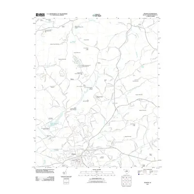
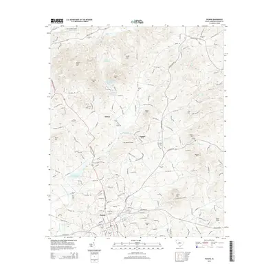
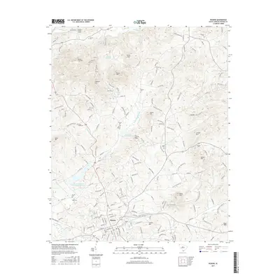
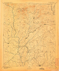
Editions of this 1894 Pickens Map
6 editions found

Historical Maps of Anderson Through Time
8 maps found