Loading...
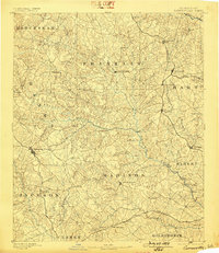
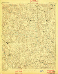
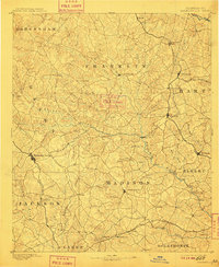
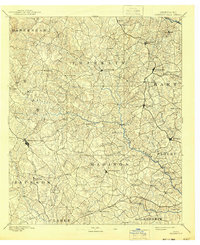
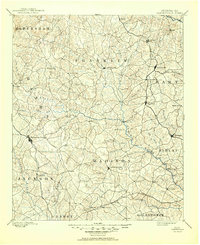
Loading map...1891 Map of Carnesville
USGS Topo · Published 1898About this map
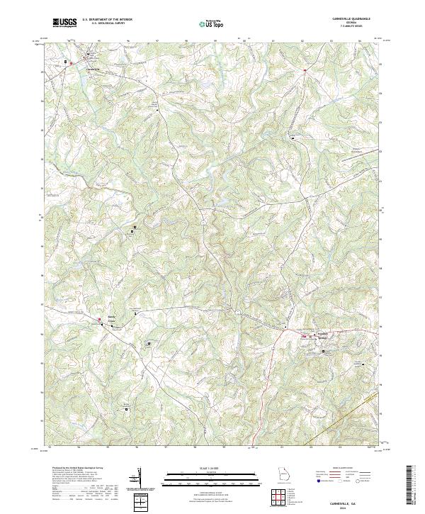
Carnesville serves as a central hub in this late 19th-century survey of Northeast Georgia, situated amidst a complex network of waterways including the Hudson River and Broad River. The landscape is defined by the early industrial and agricultural expansion across several counties, with the Elberton Air Line Rail Road cutting a vertical path through Royston and Bowersville. This rail connection linked small upland communities to wider markets, fostering the growth of towns like Lavonia and Harmony Grove.
Find a feature on this map
80 named features on this map. Tap any name to fly to it.
Don’t see what you’re looking for? This feature index may not catch every label — zoom into the map to look around manually.
Map Details
Date Portrayed1891
Date Published1898
PublisherU.S. Geological Survey
Map TypeTopographic
Scale1:125,000
Physical Dimensions16.7 x 19.4 inches
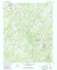
Editions of this 1891 Carnesville Map
6 editions found

Historical Maps of Athens Through Time
7 maps found
Featured Locations
Source Details
SourceU.S. Geological Survey
CopyrightPublic Domain