
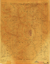
1892 Map of Dahlonega
USGS Topo · Published 1892About this map
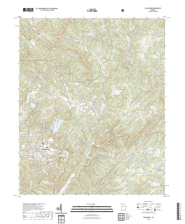
Dahlonega serves as a focal point for this late nineteenth-century survey of the North Georgia mountains, captured just as the regional gold rush era was transitioning into established community life. The landscape is defined by the high peaks of the Blue Ridge, including Mt Enota and Tray Mt, which separate the headwaters of the Chattahoochee River from the north-flowing Nottely River. Industrial and historical markers are scattered across the terrain, from the Findley Mine and a local Gold Mine near Nacoochee to an Indian Mound in the White County area. The map illustrates a network of mountain gaps like Unicoi Gap and Brasstown Gap that facilitated movement between isolated settlements such as Blairsville and Hiwassee. Early rail infrastructure appears at Rabun Gap Junction, marking the path of the Georgia Railroad Eastern North through the rugged valley of the Soquee River.
Find a feature on this map
113 named features on this map. Tap any name to fly to it.
Don’t see what you’re looking for? This feature index may not catch every label — zoom into the map to look around manually.
Map Details
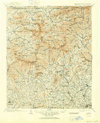
Editions of this 1892 Dahlonega Map
2 editions found
Historical Maps of Dahlonega Through Time
10 maps found

1886 Dahlonega
Lumpkin County, GA
1892 Dahlonega
Lumpkin County, GA

1896 Dahlonega
Lumpkin County, GA
1903 Dahlonega
Lumpkin County, GA
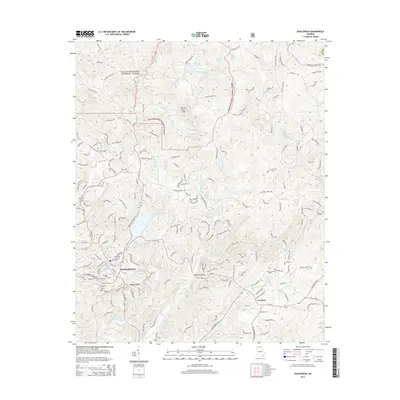
1951 Dahlonega
Lumpkin County, GA
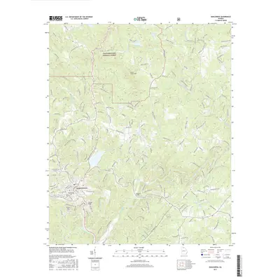
2011 Dahlonega
Lumpkin County, GA
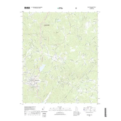
2014 Dahlonega
Lumpkin County, GA
2017 Dahlonega
Lumpkin County, GA
2020 Dahlonega
Lumpkin County, GA
2024 Dahlonega
Lumpkin County, GA