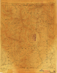
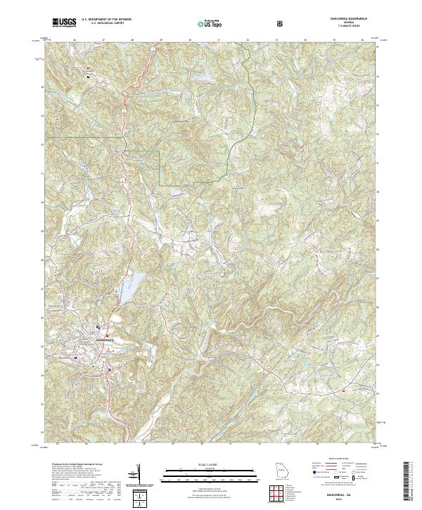
1892 Map of Dahlonega
USGS Topo · Published 1901About this map
Dahlonega and the surrounding Georgia mountains are depicted here following an 1885 survey, documenting the region’s established gold mining legacy and early transport networks. The presence of the Findley Mine and a designated Gold Mine near Nacoochie highlights the industrial character of Lumpkin and White counties during this era. The terrain is defined by the massive Blue Ridge range, with prominent peaks like Mount Enota and Tray Mt overlooking a complex system of gaps and river valleys.
Find a feature on this map
127 named features on this map. Tap any name to fly to it.
Don’t see what you’re looking for? This feature index may not catch every label — zoom into the map to look around manually.
Map Details
Editions of this 1892 Dahlonega Map
2 editions found

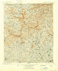
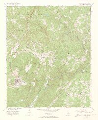
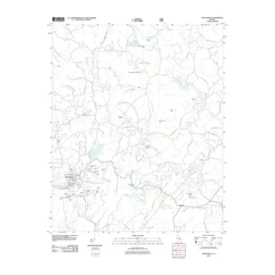
Historical Maps of Dahlonega Through Time
10 maps found

1886 Dahlonega
Lumpkin County, GA
1892 Dahlonega
Lumpkin County, GA

1896 Dahlonega
Lumpkin County, GA
1903 Dahlonega
Lumpkin County, GA
1951 Dahlonega
Lumpkin County, GA
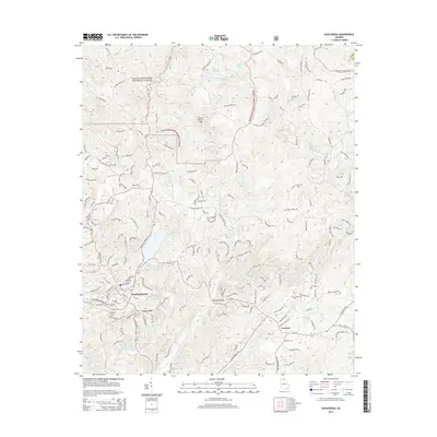
2011 Dahlonega
Lumpkin County, GA
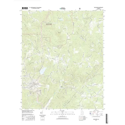
2014 Dahlonega
Lumpkin County, GA
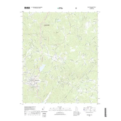
2017 Dahlonega
Lumpkin County, GA
2020 Dahlonega
Lumpkin County, GA
2024 Dahlonega
Lumpkin County, GA