
1964 Map of Iva
USGS Topo · Published 1964About this map
Iva stands as the primary hub of this landscape, where the Atlantic Coast Line railroad dictates the orientation of town streets and rural transport. The rail line serves as a central spine through the region, connecting the larger settlement of Starr to the north with the southern outpost of Barnes Station. This mid-century view captures a community defined by its proximity to the Savannah River, which forms the southwestern boundary between South Carolina and Georgia. The terrain is deeply carved by watercourses like Little Generostee Creek and Wilson Creek, creating a web of ridges that host numerous community landmarks. Local life is centered around a network of country churches, including Hebron Ch, Goodhope Ch, and Mt Vernon Ch. Education and commerce are anchored by Crescent High Sch and the industrial infrastructure of the town, including a prominent Water Tank and Radio Tower.
Find a feature on this map
30 named features on this map. Tap any name to fly to it.
Don’t see what you’re looking for? This feature index may not catch every label — zoom into the map to look around manually.
Map Details
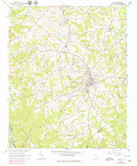
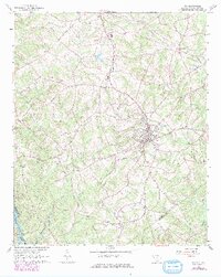
Editions of this 1964 Iva Map
3 editions found
Other maps of this area

1893 · Elberton
USGS Topo · 1:125,000

1954 · Greenville
USGS Topo · 1:250,000

1958 · Greenville
USGS Topo · 1:250,000

1958 · Elberton
USGS Topo · 1:62,500

1959 · Hartwell Dam
USGS Topo · 1:24,000

1959 · Hartwell NE
USGS Topo · 1:24,000

1964 · Antreville
USGS Topo · 1:24,000

1964 · Lowndesville
USGS Topo · 1:24,000

1964 · Saylors Crossroads
USGS Topo · 1:24,000
1964 · Anderson South
USGS Topo · 1:24,000