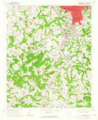
1964 Map of Anderson South
USGS Topo · Published 1965About this map
Anderson and its southern residential expansions dominate the northern portion of this mid-1960s survey, revealing a landscape transitioning from textile-driven urban centers to suburban development. The neighborhood of Homeland Park and the industrial community of Gluck anchor the corridor between the city and the rural southern reaches. Transport and utility infrastructure are prominent, defined by the Atlantic Coast Line railroad and a significant Pipeline network that cuts diagonally across the terrain toward the settlement of Starr.
Find a feature on this map
56 named features on this map. Tap any name to fly to it.
Don’t see what you’re looking for? This feature index may not catch every label — zoom into the map to look around manually.
Map Details
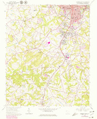
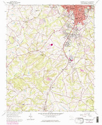
Editions of this 1964 Anderson South Map
3 editions found
Other maps of this area

1888 · Pickens
USGS Topo · 1:125,000

1893 · Elberton
USGS Topo · 1:125,000

1894 · Pickens
USGS Topo · 1:125,000

1950 · La France
USGS Topo · 1:24,000

1951 · La France
USGS Topo · 1:24,000

1954 · Greenville
USGS Topo · 1:250,000

1957 · Anderson
USGS Topo · 1:62,500

1958 · Greenville
USGS Topo · 1:250,000

1959 · Hartwell Dam
USGS Topo · 1:24,000

1959 · Hartwell NE
USGS Topo · 1:24,000