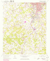
1964 Map of Anderson South
USGS Topo · Published 1979About this map
Anderson serves as the industrial and social anchor in this mid-century portrait of South Carolina's upstate region. The urban core is dense with educational and religious institutions, including Boys High Sch, Southside Sch, and St Marys Ch. Extending south from the city, the Seaboard Coast Line railroad dictates the development of communities like Homeland Park and Gluck, where residential blocks neighbor industrial sites like Orr Mill Park.
Find a feature on this map
55 named features on this map. Tap any name to fly to it.
Don’t see what you’re looking for? This feature index may not catch every label — zoom into the map to look around manually.
Map Details
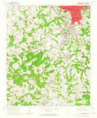
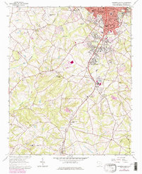
Editions of this 1964 Anderson South Map
3 editions found
Other maps of this area

1888 · Pickens
USGS Topo · 1:125,000

1893 · Elberton
USGS Topo · 1:125,000

1894 · Pickens
USGS Topo · 1:125,000

1950 · La France
USGS Topo · 1:24,000

1951 · La France
USGS Topo · 1:24,000

1954 · Greenville
USGS Topo · 1:250,000

1957 · Anderson
USGS Topo · 1:62,500

1958 · Greenville
USGS Topo · 1:250,000

1959 · Hartwell Dam
USGS Topo · 1:24,000

1959 · Hartwell NE
USGS Topo · 1:24,000