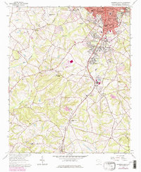
1964 Map of Anderson South
USGS Topo · Published 1979About this map
The industrial and residential growth of southern Anderson and Homeland Park characterizes this mid-century landscape. The textile legacy of the region is evident at Orr Mill and the surrounding worker housing in Orrville, while the urban edge transitions into a network of rural communities like Gluck, Deans, and Starr. This 1960s survey, updated in the late 1970s, captures a dense concentration of civic institutions, including Westside High Sch and South Fant St Sch, alongside several prominent religious sites such as Marshall Memorial Ch and Jefferson Chapel.
Find a feature on this map
58 named features on this map. Tap any name to fly to it.
Don’t see what you’re looking for? This feature index may not catch every label — zoom into the map to look around manually.
Map Details
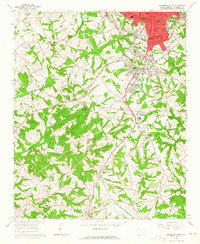
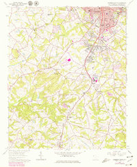
Editions of this 1964 Anderson South Map
3 editions found
Other maps of this area

1888 · Pickens
USGS Topo · 1:125,000

1893 · Elberton
USGS Topo · 1:125,000

1894 · Pickens
USGS Topo · 1:125,000

1950 · La France
USGS Topo · 1:24,000

1951 · La France
USGS Topo · 1:24,000

1954 · Greenville
USGS Topo · 1:250,000

1957 · Anderson
USGS Topo · 1:62,500

1958 · Greenville
USGS Topo · 1:250,000

1959 · Hartwell Dam
USGS Topo · 1:24,000

1959 · Hartwell NE
USGS Topo · 1:24,000