
1959 Map of Hartwell Dam
USGS Topo · Published 1961About this map
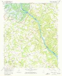
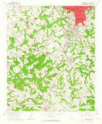
The Savannah River dominates this landscape at the critical moment of its transformation following the construction of the Hartwell Dam. Filed just as the Hartwell Reservoir was filling, the map documents the projected spillway elevation at 630 feet, showing how rising waters would soon surround Derritt Island and Stephenson Island. The topography reveals the intricate drainage system of Powderbag Creek and Generostee Creek before the full expansion of the reservoir changed the shoreline forever.
Find a feature on this map
35 named features on this map. Tap any name to fly to it.
Don’t see what you’re looking for? This feature index may not catch every label — zoom into the map to look around manually.
Map Details
Editions of this 1959 Hartwell Dam Map
4 editions found
Other maps of this area

1893 · Elberton
USGS Topo · 1:125,000

1954 · Greenville
USGS Topo · 1:250,000

1958 · Greenville
USGS Topo · 1:250,000

1958 · Elberton
USGS Topo · 1:62,500

1959 · Hartwell NE
USGS Topo · 1:24,000

1959 · Hartwell
USGS Topo · 1:24,000
1960 · Reed Creek
USGS Topo · 1:24,000

1964 · Iva
USGS Topo · 1:24,000

1964 · Lowndesville
USGS Topo · 1:24,000
1964 · Anderson South
USGS Topo · 1:24,000