
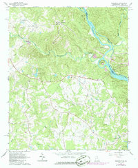
1964 Map of Lowndesville
USGS Topo · Published 1965About this map
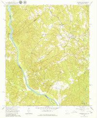
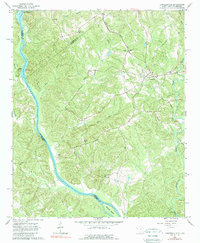
Lowndesville stands as a primary settlement in this mid-1960s survey of the borderlands between South Carolina and Georgia. The landscape is defined by the winding course of the Savannah River, which marks the state boundary, and the Rocky River to the east. Transportation and commerce in the region are anchored by the Atlantic Coast Line railroad, which cuts through the terrain near several historic community centers. The map provides a detailed view of the rural social fabric of the era, documented through numerous named burial sites and houses of worship, such as Smyrna Church and Piney Grove Church. Further south along the river, significant landmarks like McCallia Island and the Gregg Shoals area highlight the natural topography before more modern riverside development altered the shoreline.
Find a feature on this map
32 named features on this map. Tap any name to fly to it.
Don’t see what you’re looking for? This feature index may not catch every label — zoom into the map to look around manually.
Map Details
Editions of this 1964 Lowndesville Map
3 editions found
Other maps of this area

1893 · Elberton
USGS Topo · 1:125,000

1954 · Greenville
USGS Topo · 1:250,000

1958 · Greenville
USGS Topo · 1:250,000

1958 · Elberton
USGS Topo · 1:62,500

1959 · Hartwell Dam
USGS Topo · 1:24,000

1964 · Iva
USGS Topo · 1:24,000

1964 · Antreville
USGS Topo · 1:24,000
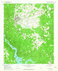
1964 · Calhoun Falls
USGS Topo · 1:24,000
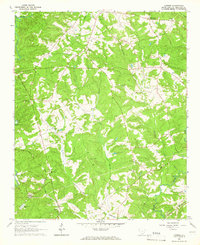
1964 · Latimer
USGS Topo · 1:24,000
1964 · Heardmont
USGS Topo · 1:24,000