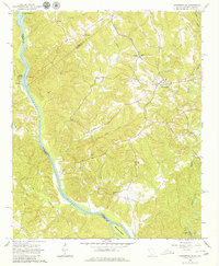
1964 Map of Lowndesville
USGS Topo · Published 1980About this map
Lowndesville serves as the primary upland settlement in this mid-1960s survey of the South Carolina and Georgia borderlands. The landscape is defined by the sharp descent of numerous tributaries, such as Little Generostee Cr and Bond Creek, as they move toward the Savannah River valley. This era reveals a rural economy shaped by the Atlantic Coast Line railroad and a network of community centers rooted in local faith and family history. Genealogists will find a significant distribution of small rural burial grounds and sanctuaries, including Harpers Cem, Old McCalla Cem, and the cluster of Smyrna Ch and Smyrna Cem. To the south, the river channel wraps around McCalla Island at the Elbert and Abbeville county line, while a Lookout Tower positioned on the western ridges provides a vantage over the heavily dissected terrain of the Savannah basin.
Find a feature on this map
35 named features on this map. Tap any name to fly to it.
Don’t see what you’re looking for? This feature index may not catch every label — zoom into the map to look around manually.
Map Details
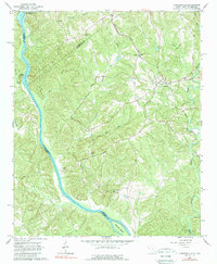
Editions of this 1964 Lowndesville Map
3 editions found
Other maps of this area

1893 · Elberton
USGS Topo · 1:125,000

1954 · Greenville
USGS Topo · 1:250,000

1958 · Greenville
USGS Topo · 1:250,000

1958 · Elberton
USGS Topo · 1:62,500

1959 · Hartwell Dam
USGS Topo · 1:24,000

1964 · Iva
USGS Topo · 1:24,000

1964 · Antreville
USGS Topo · 1:24,000

1964 · Lowndesville
USGS Topo · 1:24,000
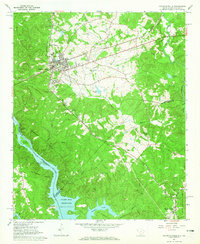
1964 · Calhoun Falls
USGS Topo · 1:24,000
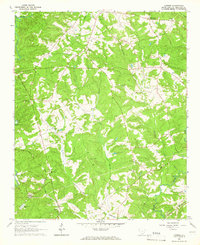
1964 · Latimer
USGS Topo · 1:24,000