Loading...
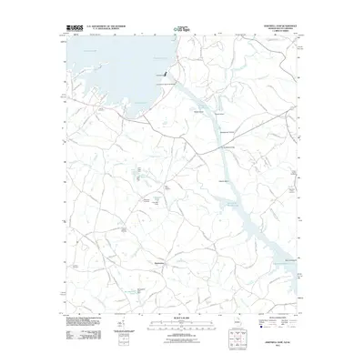
Loading map...1959 Map of Hartwell Dam
USGS Topo · Published 1972About this map
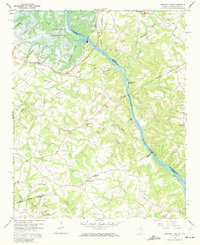
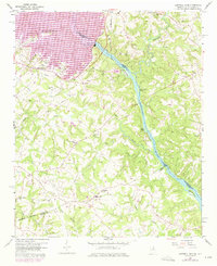
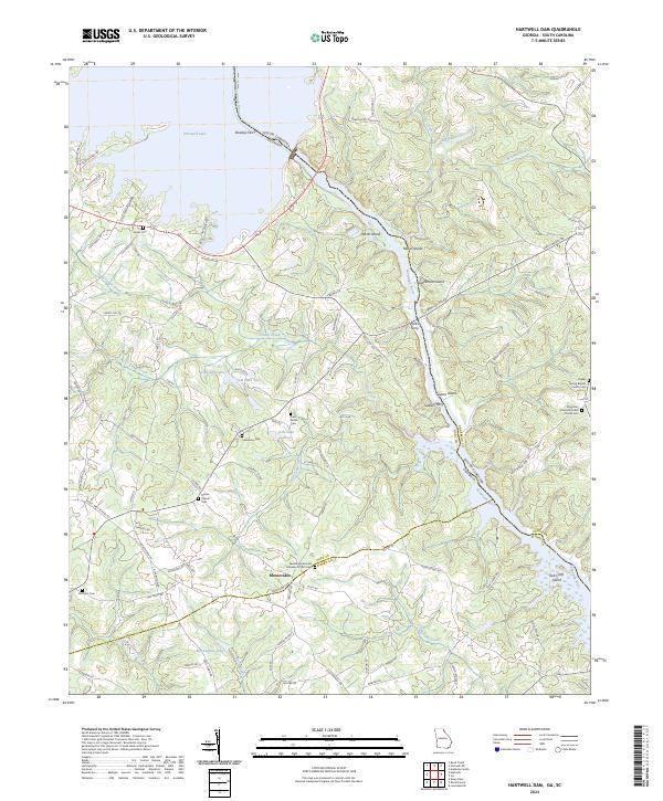
Hartwell Dam stands as the defining engineering landmark on this late 1950s survey, capturing the transformative era when the Savannah River was being harnessed for the Hartwell Reservoir. The map illustrates the impending landscape shift, with dashed lines marking the U.S. Reservation Boundary and blue hatching indicating areas destined to be submerged. This period of transition is starkly visible as the rising waters began to redraw the borders between Georgia and South Carolina.
Find a feature on this map
38 named features on this map. Tap any name to fly to it.
Don’t see what you’re looking for? This feature index may not catch every label — zoom into the map to look around manually.
Map Details
Date Portrayed1959
Date Published1972
PublisherU.S. Geological Survey
Map TypeTopographic
Scale1:24,000
Physical Dimensions22 x 27 inches
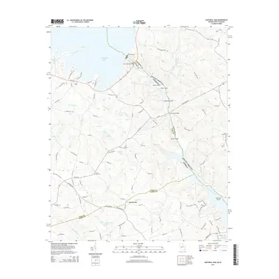
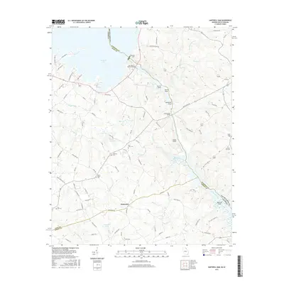
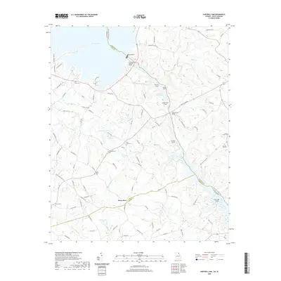
Editions of this 1959 Hartwell Dam Map
4 editions found
Historical Maps of Montevideo Through Time
6 maps found
Featured Locations
Source Details
SourceU.S. Geological Survey
CopyrightPublic Domain