Old Maps of Hattieville, South Carolina for Academic Research
Study the evolution of Hattieville with 16 high-resolution historic maps. Whether you're teaching, researching, or modeling changes in land use, these maps provide essential visual documentation of urban, environmental, and geographic change.
- Analyze long-term change: Track patterns in development, transportation, and natural features.
- Ideal for environmental or urban studies: Support academic projects with primary historical map data.
- Use in the classroom or lab: Educators and researchers rely on these maps to bring historical context to life.
These maps are a powerful tool for teaching, research, and visualizing how Hattieville has changed over the decades.
Hattieville, SC maps
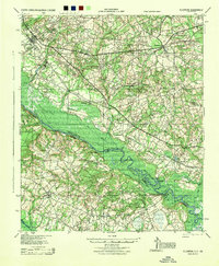
(16)- 1920 Map of Ellenton
 1920 Ellenton1920 Print · USGSThe Savannah River valley in the years following the Great War reveals a landscape of river landings and small rail towns. Genealogists can trace family footprints through rural sites like Ellenton, St Marys Church, and the Burton and Myers Store.
 - 1921 Map of Ellenton
 1921 Ellenton1921 Print · USGSThe Savannah River valley in the early 1920s reveals a lost network of riverside landings and agricultural rail stops. Genealogists can trace family footprints at Ellenton, Meyers Mill, and rural sites like Friendship Church or Bethesda School.2 unique versions available
 - 1943 Map of Augusta East
 1943 Augusta East1943 Print · USGSThe Savannah River valley along the Georgia and South Carolina border is shown here in the early 1940s, just before significant regional changes. Genealogists can trace hundreds of rural landmarks, including Ellenton, the Downer Institute, and several mills like Hatchers Mill.
 - 1944 Map of Ellenton
 1944 Ellenton1944 Print · USGSIn the mid-1940s, this area of the Savannah River valley was a thriving agricultural landscape centered on Ellenton and Dunbarton. Genealogists can trace family footprints through sites like Bethesda Sch, Daisy May Ch, and the local Burton & Myers Store.
 - 1954 Map of Augusta
 1954 Augusta1954 Print · USGSThe Savannah River valley and South Carolina Midlands are captured here during a period of post-war growth. Researchers can trace the rail-and-river economy through the Southern RR corridor and locate historic settlements like Aiken, Orangeburg, and Sumter.
 - 1957 Map of Augusta, 1966 Print
 1957 Augusta1966 Print · USGSThe Savannah River and Santee basins are captured here during a period of massive military and industrial expansion in the late fifties. Genealogists can trace family footprints across Four Hole Swamp or near the Savannah River Plant.3 unique versions available
 - 1958 Map of Augusta
 1958 Augusta1958 Print · USGSThe borderlands between Georgia and South Carolina come alive in the 1950s, showing the early footprint of the Savannah River Plant. Genealogists and historians can trace rail-dependent towns and rural landmarks from Orangeburg to the Fort Jackson Military Reservation.
 - 1961 Map of Augusta
 1961 Augusta1961 Print · USGSThe South Carolina lowcountry and CSRA appear here in the early sixties, during a period of massive military and industrial growth. Researchers can trace the development of the Savannah River Plant or locate legacy landmarks like Nelson Ferry and Magnolia Cemetery.2 unique versions available
 - 1962 Map of Augusta
 1962 Augusta1962 Print · USGSThe South Carolina and Georgia borderlands are seen here in the early sixties, showing the rise of the Savannah River Plant and the expansion of Fort Jackson. Researchers can trace old rail lines like the Southern Railway and find landmarks such as St. Pauls Church or the Santee Canal.
 - 1964 Map of Millett, 1967 Print
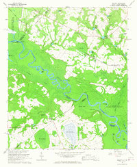 1964 Millett1967 Print · USGSThe Savannah River valley in the early 1960s reveals a rural landscape adapting to the massive presence of the Savannah River Plant. Genealogists and historians can trace community hubs like Millett and Dunbar Store alongside landmarks like Zion Grove Ch.2 unique versions available
 - 1982 Map of Barnwell, 1984 Print
 1982 Barnwell1984 Print · USGSCoastal plain settlements and a massive nuclear infrastructure meet in South Carolina during the early eighties. Genealogists and historians can trace rail-town development along the Southern line and explore the footprint of the Savannah River Plant Department of Energy.
 - 2011 Map of Millett, 2011 Print
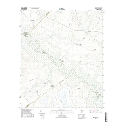
 2011 Millett2011 Print · USGSCovers Hattieville, including Averill, Browns Landing, and other nearby areas
 - 2014 Map of Millett, 2014 Print
 2014 Millett2014 Print · USGSCovers Hattieville, including Averill, Browns Landing, and other nearby areas
 - 2017 Map of Millett, 2017 Print
 2017 Millett2017 Print · USGSCovers Hattieville, including Averill, Browns Landing, and other nearby areas
 - 2020 Map of Millett, 2020 Print
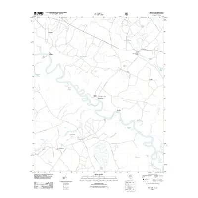
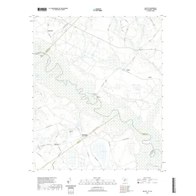 2020 Millett2020 Print · USGSCovers Hattieville, including Averill, Browns Landing, and other nearby areas
 - 2024 Map of Millett, 2024 Print
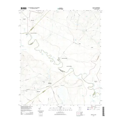
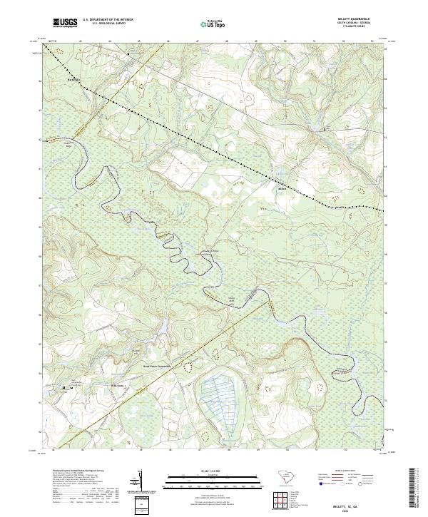 2024 Millett2024 Print · USGSAllendale County and the Savannah River border in the early 21st century show a landscape of traditional river crossings and small crossroads. Genealogists can locate family landmarks like Hills Store, Furse Cem, and the historic Stoney Bluff Ferry.
End of results
Showing maps 1-16 of 16
Top cities near Hattieville
- Augusta historical maps
- Barnwell historical maps
- Jackson historical maps
- Sardis historical maps
- Hiltonia historical maps
- Snelling historical maps
See more
Frequently asked questions
- What are the different types of historical maps available for Hattieville?
- What is the oldest map of Hattieville?
- Where can I purchase historical maps of Hattieville for my home or office?
- Where can I download high-res historical maps of Hattieville?
- Are there historical topographic maps available for Hattieville?
- Is there historical aerial imagery available for Hattieville?
- Where are historical maps of Hattieville sourced from?