Old Maps of Gayle Mill, South Carolina for Metal Detecting
Plan your next treasure hunt with 18 historic maps of Gayle Mill. Find old homesites, ghost towns, trails, and gathering spots that may be lost to time — perfect for identifying promising metal detecting locations.
- Locate forgotten sites: Uncover places like long-lost settlements, abandoned rail lines, or gathering spots.
- Plan better hunts: Use map overlays combined with LiDAR or satellite views to narrow in on historically rich areas.
- Made for detectorists: Thousands of hobbyists use these maps to discover relics, coins, and hidden history.
Use these historic maps to boost your research and find new opportunities beneath the surface of Gayle Mill.
Gayle Mill, SC maps
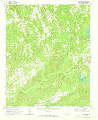
(18)- 1941 Map of Spartanburg
 1941 Spartanburg1941 Print · USGSSouth Carolina’s Piedmont and Sandhills regions are shown here during the mid-century peak of the rail era. Researchers can trace the sprawling Fort Jackson Military Reservation and the industrial growth of hubs like Spartanburg and Rock Hill.
 - 1953 Map of Spartanburg, 1966 Print
 1953 Spartanburg1966 Print · USGSMid-century South Carolina comes into focus through this survey of the Piedmont and the Sand Hills at a time of significant reservoir expansion. Researchers can trace the legacy of industrial transit and resource extraction from the Haile Gold Mine to the rail hubs of the Seaboard Air Line.4 unique versions available
 - 1960 Map of Spartanburg
 1960 Spartanburg1960 Print · USGSThe South Carolina Piedmont and North Carolina borderlands come alive in this mid-century survey of the region between Spartanburg and Columbia. Researchers can trace the Seaboard Air Line railroad and explore landmarks like Anderson Quarry, Lake Murray, and Mount Croghan.2 unique versions available
 - 1963 Map of Spartanburg
 1963 Spartanburg1963 Print · USGSMid-century South Carolina comes alive in this survey, showing the rail-linked corridor between the Upstate and the Midlands. Genealogists can trace family lands near old hubs like Union and Lancaster, or along the banks of the Broad River and Pee Dee River.
 - 1964 Map of Spartanburg
 1964 Spartanburg1964 Print · USGSMid-century South Carolina comes alive in this survey of the Piedmont and Upcountry, stretching from the Blue Ridge foothills to the Sandhills. Genealogists and historians can trace the rail-and-river economy through Monarch Mills, Glenn Springs, and the Southern Railway corridor.
 - 1969 Map of Baton Rouge, 1973 Print
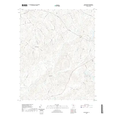
 1969 Baton Rouge1973 Print · USGSChester County at the close of the sixties reveals a landscape of small rural settlements and established family-named landmarks. Researchers can locate several country churches and schools like New Hope Ch and West Chester Sch or trace the Seaboard Coast Line railroad past Baton Rouge.
 - 1969 Map of Chester, 1973 Print
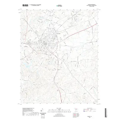
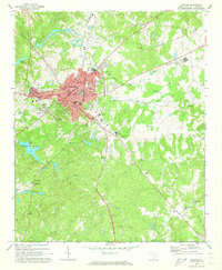 1969 Chester1973 Print · USGSChester sat at the heart of a dense South Carolina rail network in the late sixties, where four different lines intersected. Researchers can trace local lineage through Old Purity Cem, visit Wylie Park, or locate landmarks like the Drive-in Theater and County Hospital.2 unique versions available
 - 1986 Map of Spartanburg
 1986 Spartanburg1986 Print · USGSUpstate South Carolina is captured here in the mid-1980s, showcasing the region's transition from a textile-driven rail corridor to a modern interstate hub. Researchers can trace the legacy of the SOUTHERN railroad through mill towns like Glendale or explore the wooded reaches of the Sumter National Forest.2 unique versions available
 - 2011 Map of Chester, 2011 Print
 2011 Chester2011 Print · USGSCovers Gayle Mill, including Chester, Stringfellow, and other nearby areas
 - 2011 Map of Baton Rouge, 2011 Print
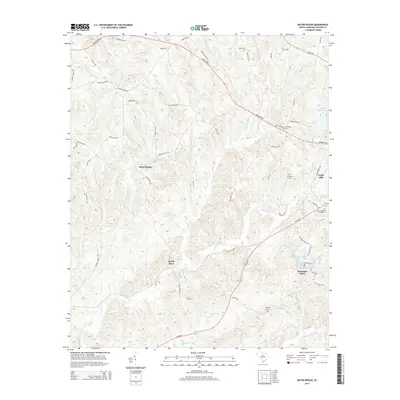
 2011 Baton Rouge2011 Print · USGSCovers Gayle Mill, including Baton Rouge, Sandy River, and other nearby areas
 - 2014 Map of Baton Rouge, 2014 Print
 2014 Baton Rouge2014 Print · USGSCovers Gayle Mill, including Baton Rouge, Sandy River, and other nearby areas
 - 2014 Map of Chester, 2014 Print
 2014 Chester2014 Print · USGSCovers Gayle Mill, including Chester, Stringfellow, and other nearby areas
 - 2017 Map of Baton Rouge, 2017 Print
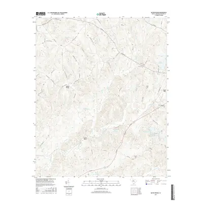 2017 Baton Rouge2017 Print · USGSCovers Gayle Mill, including Baton Rouge, Sandy River, and other nearby areas
 - 2017 Map of Chester, 2017 Print
 2017 Chester2017 Print · USGSCovers Gayle Mill, including Chester, Stringfellow, and other nearby areas
 - 2020 Map of Baton Rouge, 2020 Print
 2020 Baton Rouge2020 Print · USGSCovers Gayle Mill, including Baton Rouge, Sandy River, and other nearby areas
 - 2020 Map of Chester, 2020 Print
 2020 Chester2020 Print · USGSCovers Gayle Mill, including Chester, Stringfellow, and other nearby areas
 - 2024 Map of Chester, 2024 Print
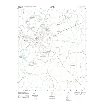
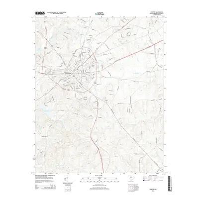
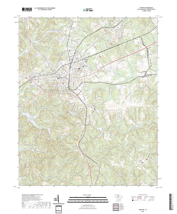 2024 Chester2024 Print · USGSChester, South Carolina, remains a significant textile and railroad hub in the early twenty-first century. Genealogists and historians can trace long-standing landmarks like the Chester County Courthouse, Old Purity Cem, and the historic industrial footprint of Gayle Mill.
 - 2024 Map of Baton Rouge, 2024 Print
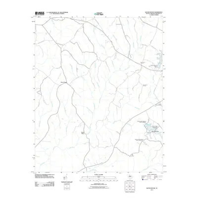
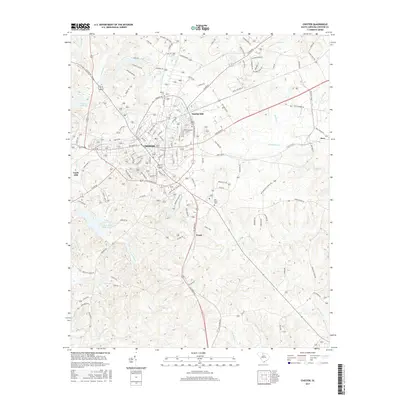
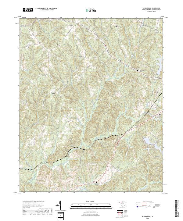 2024 Baton Rouge2024 Print · USGSChester County is shown here in the contemporary era as a landscape defined by the winding Sandy River and rural crossroads. Genealogists and historians can trace family roots at Old Zion Church Graveyard, Mount Moriah Cem, and the community of Baton Rouge.
End of results
Showing maps 1-18 of 18
Top cities near Gayle Mill
- Rock Hill historical maps
- Chester historical maps
- Carlisle historical maps
- Lockhart historical maps
- McConnells historical maps
- Richburg historical maps
See more
Frequently asked questions
- What are the different types of historical maps available for Gayle Mill?
- What is the oldest map of Gayle Mill?
- Where can I purchase historical maps of Gayle Mill for my home or office?
- Where can I download high-res historical maps of Gayle Mill?
- Are there historical topographic maps available for Gayle Mill?
- Is there historical aerial imagery available for Gayle Mill?
- Where are historical maps of Gayle Mill sourced from?