2020s Maps of Chesterfield County, South Carolina
Explore 48 historic maps of Chesterfield County from the 2020s. These maps offer a rare glimpse into what life looked like during the 2020s — showing old roads, neighborhoods, homes, and landmarks that have changed or disappeared over time.
Whether you're researching your family's past, planning a metal detecting trip, or studying how Chesterfield County's landscape evolved across the 2020s, these high-resolution maps are a powerful tool for exploring the history of this region.
- Focus on a specific era: All maps on this page are from the 2020s, giving you a focused view of this time period.
- See what’s changed: Compare century-old streets, trails, and buildings to today's modern landscape using overlays and satellite layers.
- Research with precision: Use these maps for genealogy, historical research, land use analysis, or educational projects.
- View, download, or print: Maps are fully viewable online in high resolution, and can be downloaded or printed for your own records.
Start exploring Chesterfield County's history through authentic maps from the 2020s. This is your window into the past.
Chesterfield County, SC maps
(48)- 2020 Map of Mont Clare, 2020 Print
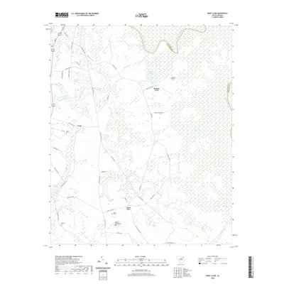 2020 Mont Clare2020 Print · USGSCovers Chesterfield County, including Society Hill, Robbins Neck, and other nearby areas
 - 2020 Map of Society Hill, 2020 Print
 2020 Society Hill2020 Print · USGSCovers Chesterfield County, including Society Hill, Plumfield Landing, and other nearby areas
 - 2020 Map of Wallace, 2020 Print
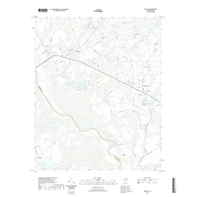 2020 Wallace2020 Print · USGSCovers Chesterfield County, including Cheraw, Montrose, and other nearby areas
 - 2020 Map of Cheraw, 2020 Print
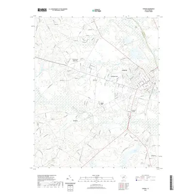 2020 Cheraw2020 Print · USGSCovers Chesterfield County, including Cheraw, Fisher Hill, and other nearby areas
 - 2020 Map of Cash, 2020 Print
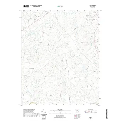 2020 Cash2020 Print · USGSCovers Chesterfield County, including Cash, Darlington County, and other nearby areas
 - 2020 Map of Middendorf, 2020 Print
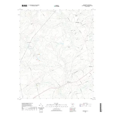 2020 Middendorf2020 Print · USGSCovers Chesterfield County, including Middendorf, Bay Springs, and other nearby areas
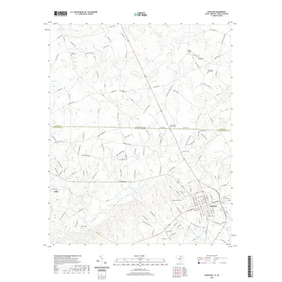
 - 2020 Map of Taxahaw, 2020 Print
 2020 Taxahaw2020 Print · USGSCovers Chesterfield County, including Union, Taxahaw, and other nearby areas
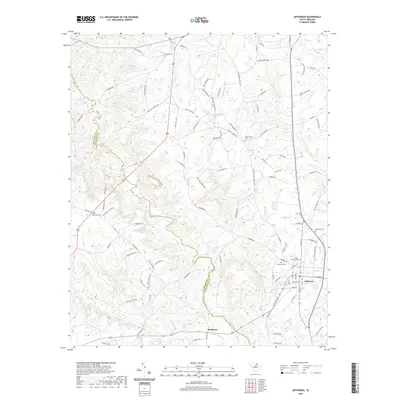
 - 2020 Map of Jefferson NE, 2020 Print
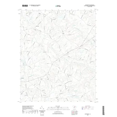 2020 Jefferson NE2020 Print · USGSCovers Chesterfield County, including Jefferson, Evans Mill, and other nearby areas
 - 2020 Map of Mount Croghan, 2020 Print
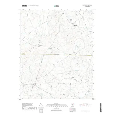 2020 Mount Croghan2020 Print · USGSCovers Chesterfield County, including Ruby, Mount Croghan, and other nearby areas
 - 2020 Map of Patrick, 2020 Print
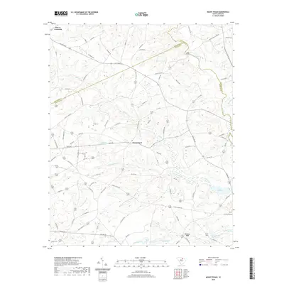
 2020 Patrick2020 Print · USGSCovers Chesterfield County, including Patrick, United States, and other nearby areas
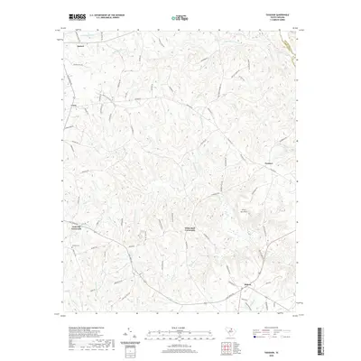
 - 2020 Map of Tradesville, 2020 Print
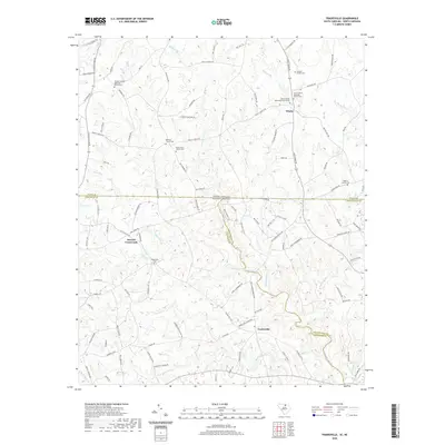 2020 Tradesville2020 Print · USGSCovers Chesterfield County, including Stewart Crossroads, Trinity, and other nearby areas
 - 2020 Map of Chesterfield, 2020 Print
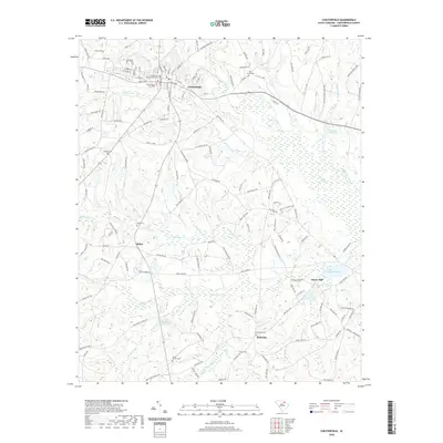 2020 Chesterfield2020 Print · USGSCovers Chesterfield County, including Chesterfield, Hunts Mill, and other nearby areas
 - 2020 Map of Bethune, 2020 Print
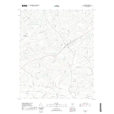
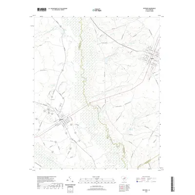 2020 Bethune2020 Print · USGSCovers Chesterfield County, including McBee, Bethune, and other nearby areas
 - 2020 Map of Hornsboro, 2020 Print
 2020 Hornsboro2020 Print · USGSCovers Chesterfield County, including Pageland, Maynards, and other nearby areas
 - 2020 Map of Ruby, 2020 Print
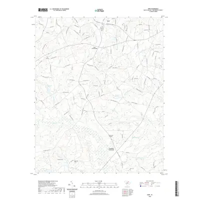 2020 Ruby2020 Print · USGSCovers Chesterfield County, including Ruby, Campbell Crossroads, and other nearby areas
 - 2020 Map of Hartsville North, 2020 Print
 2020 Hartsville North2020 Print · USGSCovers Chesterfield County, including Hartsville, Dunlap Terrace, and other nearby areas
 - 2020 Map of Dovesville, 2020 Print
 2020 Dovesville2020 Print · USGSCovers Chesterfield County, including Birdstown Crossroads, Dovesville, and other nearby areas
 - 2020 Map of Lucknow, 2020 Print
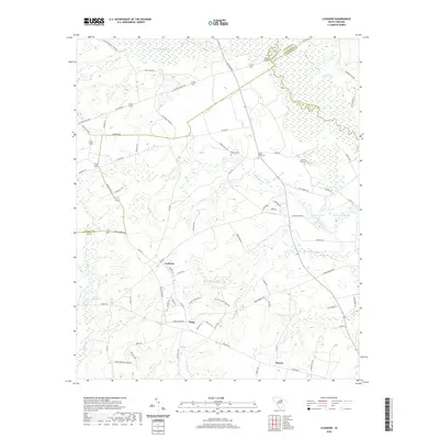 2020 Lucknow2020 Print · USGSCovers Chesterfield County, including Lucknow, Zemp, and other nearby areas
 - 2020 Map of Pageland, 2020 Print
 2020 Pageland2020 Print · USGSCovers Chesterfield County, including Pageland, High Point, and other nearby areas
 - 2020 Map of Lake Robinson, 2020 Print
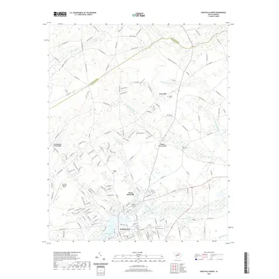
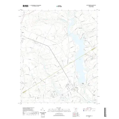 2020 Lake Robinson2020 Print · USGSCovers Chesterfield County, including McBee, Segars, and other nearby areas
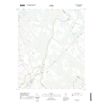
 - 2020 Map of Jefferson, 2020 Print
 2020 Jefferson2020 Print · USGSCovers Chesterfield County, including Jefferson, Birdtown, and other nearby areas
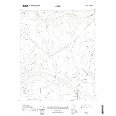
 - 2020 Map of Angelus, 2020 Print
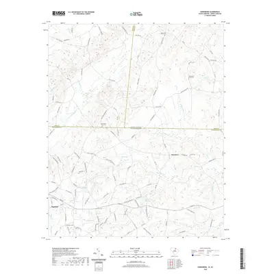
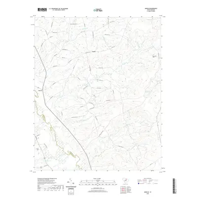 2020 Angelus2020 Print · USGSCovers Chesterfield County, including Catarrh, Angelus, and other nearby areas
 - 2020 Map of Mount Pisgah, 2020 Print
 2020 Mount Pisgah2020 Print · USGSCovers Chesterfield County, including Minton Mill, Mount Pisgah, and other nearby areas
 - 2022 Map of Morven West, 2022 Print
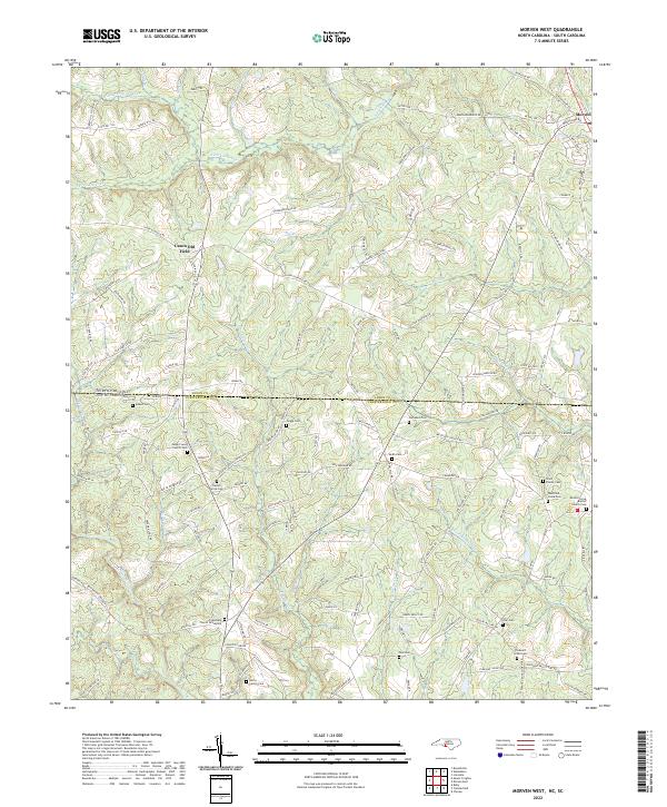 2022 Morven West2022 Print · USGSCrossing the Carolina border south of Morven, this 2022 survey documents a landscape defined by ancestral family plots and rural crossroads. Genealogists can locate numerous burial sites like Mount Level Church Cem, Griggs Cem, and the Friendship Church Graveyard.
 - 2022 Map of Morven East, 2022 Print
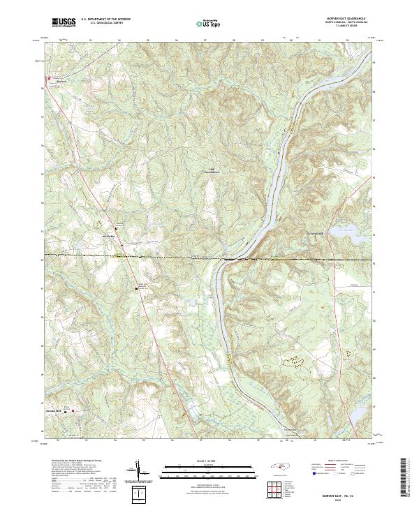 2022 Morven East2022 Print · USGSThe North and South Carolina borderlands come alive in this survey of the Pee Dee River corridor. Researchers can trace the heritage of old river settlements like Old Sneedsboro and find family-named landmarks such as Brocks Mill and Mount Zion Methodist Church Cem.
Showing maps 1-25 of 48
Top cities of Chesterfield County
- Cheraw historical maps
- Pageland historical maps
- Chesterfield historical maps
- McBee historical maps
- Jefferson historical maps
- Ruby historical maps
See more
Frequently asked questions
- What are the different types of historical maps available for Chesterfield County?
- What is the oldest map of Chesterfield County?
- Where can I purchase historical maps of Chesterfield County for my home or office?
- Where can I download high-res historical maps of Chesterfield County?
- Are there historical topographic maps available for Chesterfield County?
- Is there historical aerial imagery available for Chesterfield County?
- Where are historical maps of Chesterfield County sourced from?