Old Maps of Jefferson, South Carolina for Hiking & Exploration
Hike through history with 18 historic maps of Jefferson. Explore old trails, ghost towns, and forgotten backroads — perfect for outdoor adventurers and local explorers.
- Rediscover forgotten places: Map out old mining camps, roads, and footpaths that no longer exist on modern maps.
- Layer with modern tools: Combine with LiDAR or satellite views to plan hikes through historical terrain.
- Made for exploration: Popular among hikers, overlanders, and local history lovers.
Use these maps to find adventure and explore the hidden past of Jefferson.
Jefferson, SC maps
(18)- 1941 Map of Spartanburg
 1941 Spartanburg1941 Print · USGSSouth Carolina’s Piedmont and Sandhills regions are shown here during the mid-century peak of the rail era. Researchers can trace the sprawling Fort Jackson Military Reservation and the industrial growth of hubs like Spartanburg and Rock Hill.
 - 1953 Map of Spartanburg, 1966 Print
 1953 Spartanburg1966 Print · USGSMid-century South Carolina comes into focus through this survey of the Piedmont and the Sand Hills at a time of significant reservoir expansion. Researchers can trace the legacy of industrial transit and resource extraction from the Haile Gold Mine to the rail hubs of the Seaboard Air Line.4 unique versions available
 - 1960 Map of Spartanburg
 1960 Spartanburg1960 Print · USGSThe South Carolina Piedmont and North Carolina borderlands come alive in this mid-century survey of the region between Spartanburg and Columbia. Researchers can trace the Seaboard Air Line railroad and explore landmarks like Anderson Quarry, Lake Murray, and Mount Croghan.2 unique versions available
 - 1963 Map of Spartanburg
 1963 Spartanburg1963 Print · USGSMid-century South Carolina comes alive in this survey, showing the rail-linked corridor between the Upstate and the Midlands. Genealogists can trace family lands near old hubs like Union and Lancaster, or along the banks of the Broad River and Pee Dee River.
 - 1964 Map of Spartanburg
 1964 Spartanburg1964 Print · USGSMid-century South Carolina comes alive in this survey of the Piedmont and Upcountry, stretching from the Blue Ridge foothills to the Sandhills. Genealogists and historians can trace the rail-and-river economy through Monarch Mills, Glenn Springs, and the Southern Railway corridor.
 - 1968 Map of Jefferson, 1971 Print
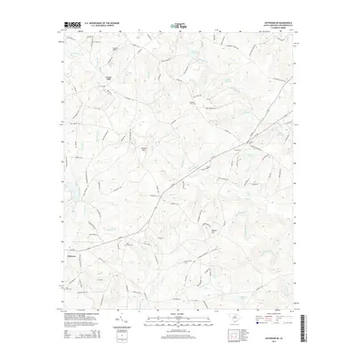
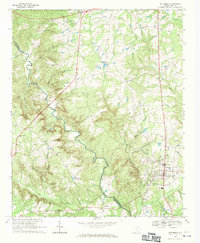 1968 Jefferson1971 Print · USGSChesterfield and Lancaster Counties are captured here in the late sixties as the local landscape remained centered on small rural settlements and river-bottom agriculture. Genealogists can trace family names through landmarks like Miller-Lowery Cem, Blackman Cem, and rural parishes like Mt Harmon Ch.
 - 1968 Map of Jefferson NE, 1971 Print
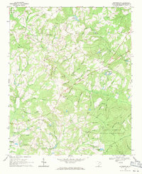 1968 Jefferson NE1971 Print · USGSChesterfield County during the late sixties shows a landscape of small millponds and sand mining operations. Researchers can trace genealogical roots at Piney Grove Ch Cem or locate old community hubs like Evans Mill and Black Creek Ch.2 unique versions available
 - 1986 Map of Lancaster
 1986 Lancaster1986 Print · USGSThe Carolina borderlands are captured in the mid-1980s as a thriving corridor of rail towns and diverse geography. Researchers can trace the region's heritage through landmarks like Forty Acre Rock, the Southern RR line, and rural sites such as Heath Springs Church.2 unique versions available
 - 2011 Map of Jefferson NE, 2011 Print
 2011 Jefferson NE2011 Print · USGSCovers Jefferson, including Evans Mill, Chesterfield County, and other nearby areas
 - 2011 Map of Jefferson, 2011 Print
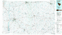
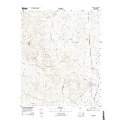
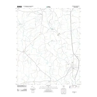 2011 Jefferson2011 Print · USGSCovers Jefferson, including Birdtown, Five Forks, and other nearby areas
 - 2014 Map of Jefferson, 2014 Print
 2014 Jefferson2014 Print · USGSCovers Jefferson, including Birdtown, Five Forks, and other nearby areas
 - 2014 Map of Jefferson NE, 2014 Print
 2014 Jefferson NE2014 Print · USGSCovers Jefferson, including Evans Mill, Chesterfield County, and other nearby areas
 - 2017 Map of Jefferson NE, 2017 Print
 2017 Jefferson NE2017 Print · USGSCovers Jefferson, including Evans Mill, Chesterfield County, and other nearby areas
 - 2017 Map of Jefferson, 2017 Print
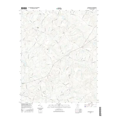
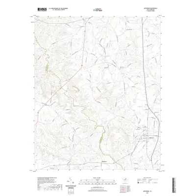
 2017 Jefferson2017 Print · USGSCovers Jefferson, including Birdtown, Five Forks, and other nearby areas
 - 2020 Map of Jefferson NE, 2020 Print
 2020 Jefferson NE2020 Print · USGSCovers Jefferson, including Evans Mill, Chesterfield County, and other nearby areas
 - 2020 Map of Jefferson, 2020 Print
 2020 Jefferson2020 Print · USGSCovers Jefferson, including Birdtown, Five Forks, and other nearby areas
 - 2024 Map of Jefferson, 2024 Print
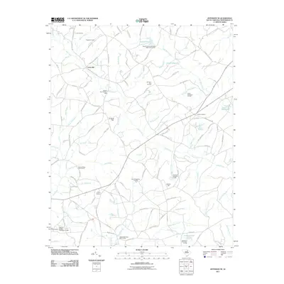
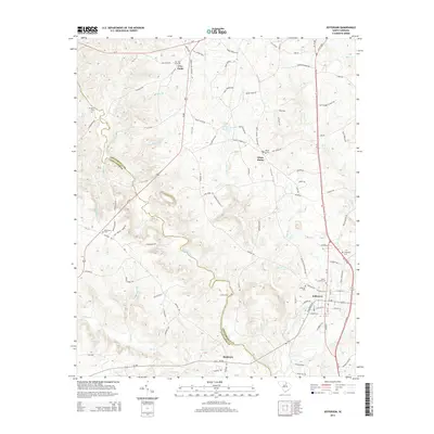
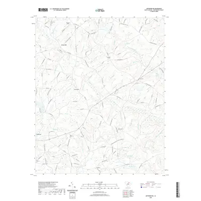
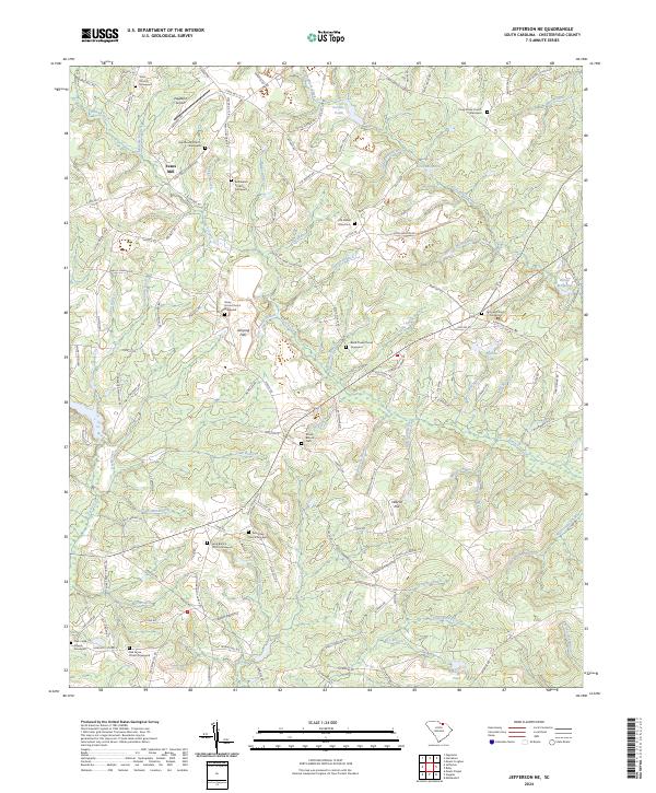
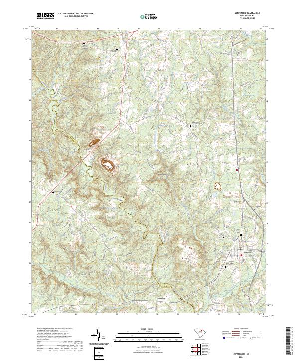 2024 Jefferson2024 Print · USGSJefferson and Birdtown sit at the edge of the Lancaster and Chesterfield county line in this contemporary landscape. Genealogists can trace family roots through numerous burial sites like Miller-Lowry Cem, Hopewell Cem, and Rock Hill Graveyard.
 - 2024 Map of Jefferson NE, 2024 Print
 2024 Jefferson NE2024 Print · USGSChesterfield County near the North Carolina border is shown here in its contemporary rural character, defined by a network of creeks and small family churches. Genealogists can trace landmarks like Nicey Grove Church, Oak Grove Church, and Old Mount Olive Cem across this landscape.
End of results
Showing maps 1-18 of 18
Top cities near Jefferson
- Pageland historical maps
- Kershaw historical maps
- McBee historical maps
- Ruby historical maps
- Mount Croghan historical maps
Frequently asked questions
- What are the different types of historical maps available for Jefferson?
- What is the oldest map of Jefferson?
- Where can I purchase historical maps of Jefferson for my home or office?
- Where can I download high-res historical maps of Jefferson?
- Are there historical topographic maps available for Jefferson?
- Is there historical aerial imagery available for Jefferson?
- Where are historical maps of Jefferson sourced from?