Old Maps of Walterboro, South Carolina for Academic Research
Study the evolution of Walterboro with 21 high-resolution historic maps. Whether you're teaching, researching, or modeling changes in land use, these maps provide essential visual documentation of urban, environmental, and geographic change.
- Analyze long-term change: Track patterns in development, transportation, and natural features.
- Ideal for environmental or urban studies: Support academic projects with primary historical map data.
- Use in the classroom or lab: Educators and researchers rely on these maps to bring historical context to life.
These maps are a powerful tool for teaching, research, and visualizing how Walterboro has changed over the decades.
Walterboro, SC maps
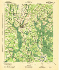
(21)- 1918 Map of Walterboro
 1918 Walterboro1918 Print · USGSColleton County at the end of the Great War reveals a landscape of river-centered commerce and scattered rural settlements. Family historians can trace ancestral locations through the many churches and schools, such as Catholic Hill, Evergreen Church, and Koger School.4 unique versions available
 - 1943 Map of Walterboro
 1943 Walterboro1943 Print · USGSSouth Carolina’s coastal plain is captured here in the mid-1940s, centered on the growing hub of Walterboro. Genealogists and historians can trace old family footprints through dozens of rural sites like Catholic Hill, Liveoak Cemetery, and Mashawville Sch.
 - 1947 Map of Savannah
 1947 Savannah1947 Print · USGSCoastal Georgia and South Carolina are captured here in the mid-forties, showing the rail-and-river networks of the Lowcountry. Genealogists and researchers can trace old crossroads and river towns from Statesboro to Beaufort, alongside military sites like Camp Stewart and Parris Island.
 - 1948 Map of Savannah
 1948 Savannah1948 Print · USGSThe Georgia and South Carolina Lowcountry comes alive in this post-war survey of the coast and its river-fed hinterlands. Genealogists and historians can trace rail lines like the Central of Georgia RR and find established settlements such as Isle of Hope and Sylvania.
 - 1957 Map of Savannah, 1967 Print
 1957 Savannah1967 Print · USGSThe Lowcountry and Georgia coastal plain are shown here in the late fifties, prior to modern expansion. Researchers can trace the rail-and-river economy through the Central of Georgia lines and the Ogeechee River wetlands.4 unique versions available
 - 1960 Map of Savannah
 1960 Savannah1960 Print · USGSCoastal Georgia and the South Carolina Lowcountry are captured in the late fifties, showcasing the intricate web of islands and tidal rivers before modern expansion. Researchers can trace the rail lines of the Atlantic Coast Line or locate sites like Parris Island, Beaufort, and the Tybee Lighthouse.
 - 1961 Map of Savannah
 1961 Savannah1961 Print · USGSThe Georgia and South Carolina Lowcountry comes alive in this mid-century survey of coastal marshes, barrier islands, and river networks. Genealogists and historians can trace the paths of the Seaboard Air Line RR, locate family sites near Isle of Hope, or study the grounds of Fort Stewart Military Reservation.2 unique versions available
 - 1986 Map of Walterboro
 1986 Walterboro1986 Print · USGSThe South Carolina Lowcountry in the mid-eighties remains a world of expansive wetlands and historic river crossings. Genealogists and historians can trace the rural communities and landmarks of Colleton and Charleston counties, from the Baptist Church at Adams Run to the coastal reaches of Edisto Beach State Park.
 - 1988 Map of Hendersonville
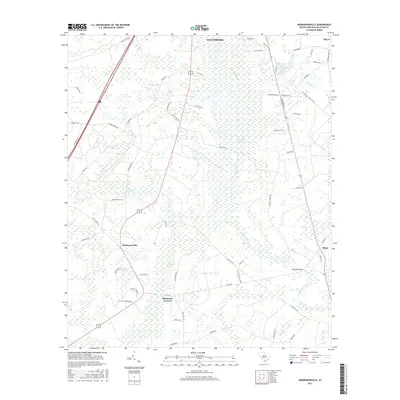
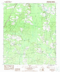 1988 Hendersonville1988 Print · USGSColleton County in the late eighties shows a landscape of Lowcountry wetlands and scattered rail-side settlements. Genealogists can trace family landmarks near Hendersonville, Catholic Hill, and the river crossing at Ritter.
 - 1988 Map of Walterboro
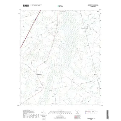
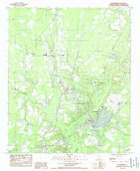 1988 Walterboro1988 Print · USGSWalterboro and the surrounding Lowcountry wetlands are documented in the late eighties as the region balanced its rural roots with growing infrastructure. Genealogists and local historians can trace family-named areas like Rhodes Crossroads and Smokes Corners or locate the Ashepoo River headwaters.
 - 1990 Map of Walterboro
 1990 Walterboro1990 Print · USGSCoastal South Carolina and its dense river networks are documented here in the early nineties as the Charleston suburbs expanded westward. Genealogists and historians can trace old community hubs like Clubhouse Crossroads, the site of Givhans Ferry, and several Strip Mines north of the Stono River.
 - 2011 Map of Hendersonville, 2011 Print
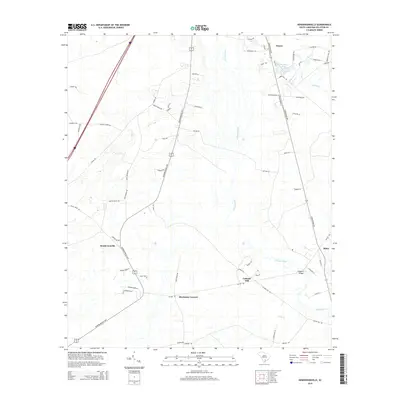
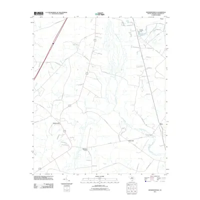 2011 Hendersonville2011 Print · USGSCovers Walterboro, including Bluehouse Corners, Thayer, and other nearby areas
 - 2011 Map of Walterboro, 2011 Print
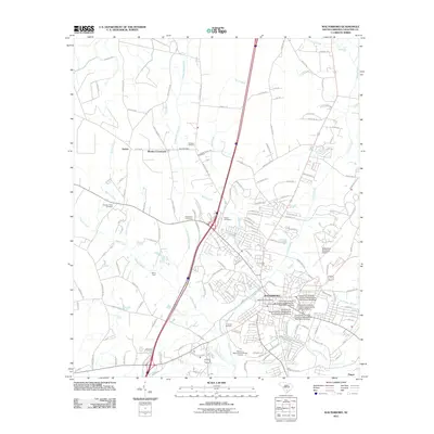 2011 Walterboro2011 Print · USGSCovers Walterboro, including Rhodes Crossroads, Stokes, and other nearby areas
 - 2014 Map of Walterboro, 2014 Print
 2014 Walterboro2014 Print · USGSCovers Walterboro, including Rhodes Crossroads, Stokes, and other nearby areas
 - 2014 Map of Hendersonville, 2014 Print
 2014 Hendersonville2014 Print · USGSCovers Walterboro, including Bluehouse Corners, Thayer, and other nearby areas
 - 2017 Map of Walterboro, 2017 Print
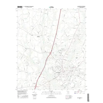 2017 Walterboro2017 Print · USGSCovers Walterboro, including Rhodes Crossroads, Stokes, and other nearby areas
 - 2017 Map of Hendersonville, 2017 Print
 2017 Hendersonville2017 Print · USGSCovers Walterboro, including Bluehouse Corners, Thayer, and other nearby areas
 - 2020 Map of Hendersonville, 2020 Print
 2020 Hendersonville2020 Print · USGSCovers Walterboro, including Bluehouse Corners, Thayer, and other nearby areas
 - 2020 Map of Walterboro, 2020 Print
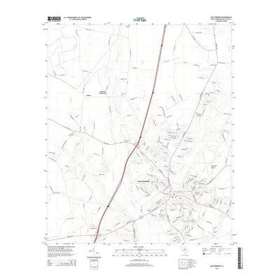
 2020 Walterboro2020 Print · USGSCovers Walterboro, including Rhodes Crossroads, Stokes, and other nearby areas
 - 2024 Map of Walterboro, 2024 Print
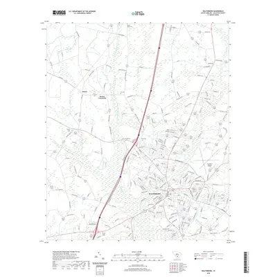
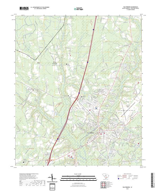 2024 Walterboro2024 Print · USGSWalterboro and its surrounding South Carolina lowlands are captured here in the contemporary era, showing a landscape defined by historic town streets and expansive wetlands. Genealogists can locate numerous burial sites including Grace Church Graveyard and Liveoak Cem near the Ashepoo River.
 - 2024 Map of Hendersonville, 2024 Print
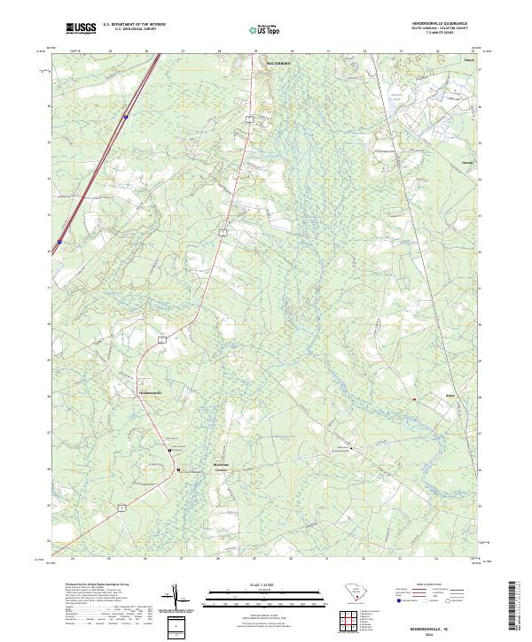 2024 Hendersonville2024 Print · USGSColleton County is shown here in its modern rural character, defined by the winding Ashepoo River and extensive Lowcountry wetlands. Genealogists and local historians can pinpoint Grover Church Graveyard and smaller settlements like Bluehouse Corners and Ritter.
End of results
Showing maps 1-21 of 21
Top cities near Walterboro
- Yemassee historical maps
- Blountville historical maps
- Cottageville historical maps
- Smoaks historical maps
- Williams historical maps
Frequently asked questions
- What are the different types of historical maps available for Walterboro?
- What is the oldest map of Walterboro?
- Where can I purchase historical maps of Walterboro for my home or office?
- Where can I download high-res historical maps of Walterboro?
- Are there historical topographic maps available for Walterboro?
- Is there historical aerial imagery available for Walterboro?
- Where are historical maps of Walterboro sourced from?