2000s (21st Century) Maps of Estill, South Carolina
Explore 20 historic maps of Estill from the 2000s (21st Century). These maps offer a rare glimpse into what life looked like during the 2000s — showing old roads, neighborhoods, homes, and landmarks that have changed or disappeared over time.
Whether you're researching your family's past, planning a metal detecting trip, or studying how Estill's landscape evolved across the 2000s, these high-resolution maps are a powerful tool for exploring the history of this region.
- Focus on a specific era: All maps on this page are from the 2000s, giving you a focused view of this time period.
- See what’s changed: Compare century-old streets, trails, and buildings to today's modern landscape using overlays and satellite layers.
- Research with precision: Use these maps for genealogy, historical research, land use analysis, or educational projects.
- View, download, or print: Maps are fully viewable online in high resolution, and can be downloaded or printed for your own records.
Start exploring Estill's history through authentic maps from the 2000s. This is your window into the past.
Estill, SC maps
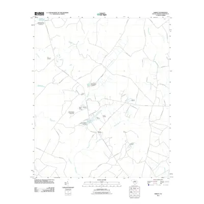
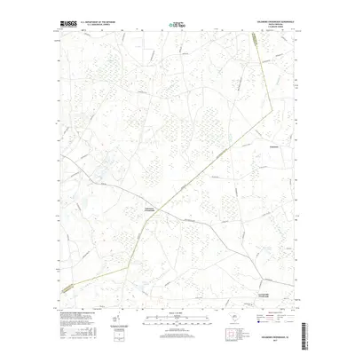
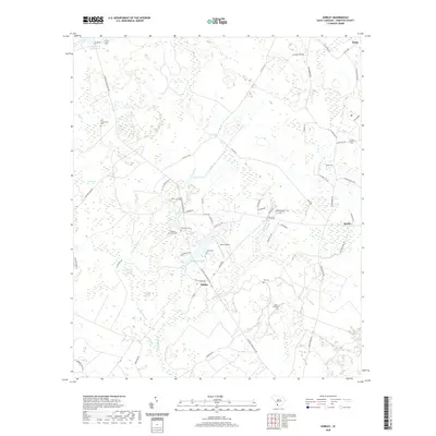
(20)- 2011 Map of Solomons Crossroads, 2011 Print
 2011 Solomons Crossroads2011 Print · USGSCovers Estill, including Valentine, Gifford, and other nearby areas
 - 2011 Map of Shirley, 2011 Print
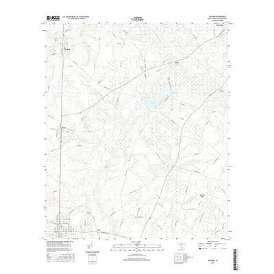
 2011 Shirley2011 Print · USGSCovers Estill, including Scotia, Shirley, and other nearby areas
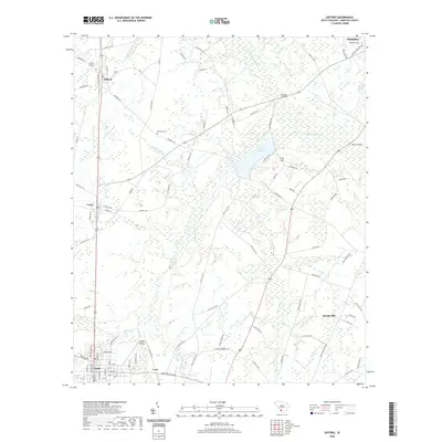
 - 2011 Map of Gifford, 2011 Print
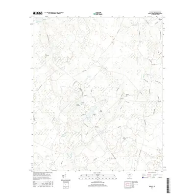
 2011 Gifford2011 Print · USGSCovers Estill, including Hampton, Luray, and other nearby areas
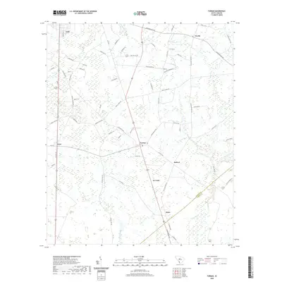
 - 2011 Map of Furman, 2011 Print
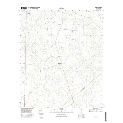
 2011 Furman2011 Print · USGSCovers Estill, including Furman, Scotia, and other nearby areas
 - 2014 Map of Solomons Crossroads, 2014 Print
 2014 Solomons Crossroads2014 Print · USGSCovers Estill, including Valentine, Gifford, and other nearby areas
 - 2014 Map of Gifford, 2014 Print
 2014 Gifford2014 Print · USGSCovers Estill, including Hampton, Luray, and other nearby areas
 - 2014 Map of Shirley, 2014 Print
 2014 Shirley2014 Print · USGSCovers Estill, including Scotia, Shirley, and other nearby areas
 - 2014 Map of Furman, 2014 Print
 2014 Furman2014 Print · USGSCovers Estill, including Furman, Scotia, and other nearby areas
 - 2017 Map of Solomons Crossroads, 2017 Print
 2017 Solomons Crossroads2017 Print · USGSCovers Estill, including Valentine, Gifford, and other nearby areas
 - 2017 Map of Shirley, 2017 Print
 2017 Shirley2017 Print · USGSCovers Estill, including Scotia, Shirley, and other nearby areas
 - 2017 Map of Furman, 2017 Print
 2017 Furman2017 Print · USGSCovers Estill, including Furman, Scotia, and other nearby areas
 - 2017 Map of Gifford, 2017 Print
 2017 Gifford2017 Print · USGSCovers Estill, including Hampton, Luray, and other nearby areas
 - 2020 Map of Shirley, 2020 Print
 2020 Shirley2020 Print · USGSCovers Estill, including Scotia, Shirley, and other nearby areas
 - 2020 Map of Gifford, 2020 Print
 2020 Gifford2020 Print · USGSCovers Estill, including Hampton, Luray, and other nearby areas
 - 2020 Map of Furman, 2020 Print
 2020 Furman2020 Print · USGSCovers Estill, including Furman, Scotia, and other nearby areas
 - 2020 Map of Solomons Crossroads, 2020 Print
 2020 Solomons Crossroads2020 Print · USGSCovers Estill, including Valentine, Gifford, and other nearby areas
 - 2024 Map of Shirley, 2024 Print
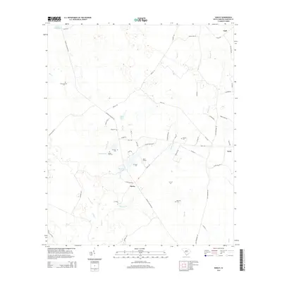
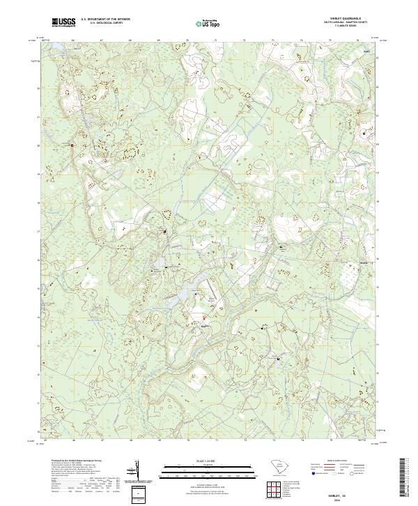 2024 Shirley2024 Print · USGSHampton County's Lowcountry landscape is captured here in recent years, showing a region defined by its swamps and family-named landmarks. Genealogists can locate several remote burial sites including Old Lawtonville Cem, Solomons Cem, and Horse Pond Cem among the wetlands.
 - 2024 Map of Solomons Crossroads, 2024 Print
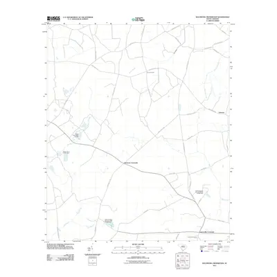
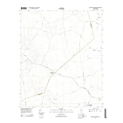
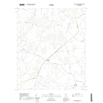
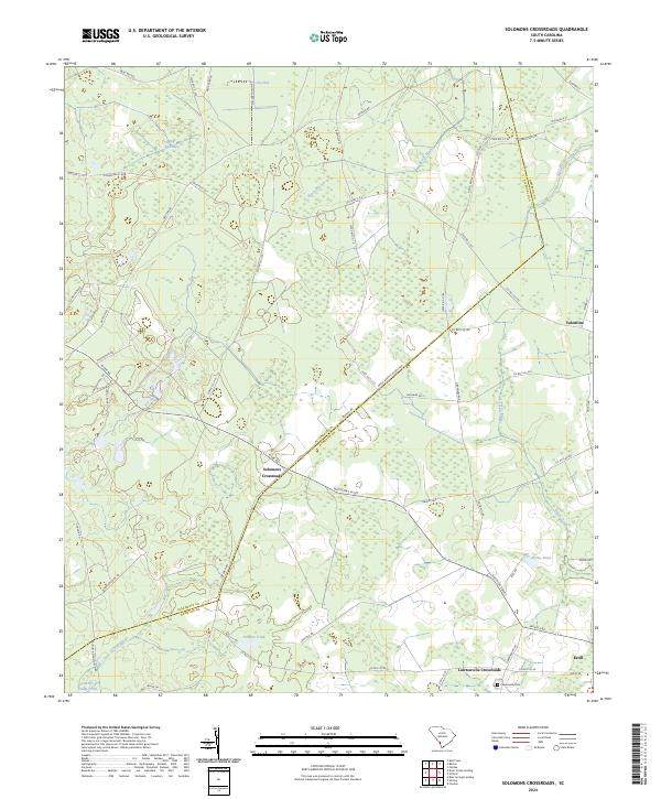 2024 Solomons Crossroads2024 Print · USGSThe borderlands of Allendale and Hampton counties come into focus in this contemporary survey of the South Carolina Lowcountry. Local historians can trace family landmarks and rural junctions from Solomons Crossroads to the historic Lawtonville Cem and Estill.
 - 2024 Map of Furman, 2024 Print
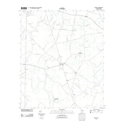
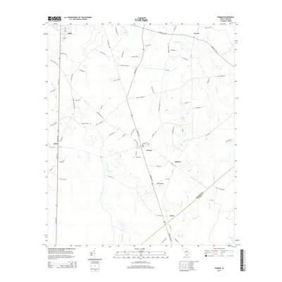
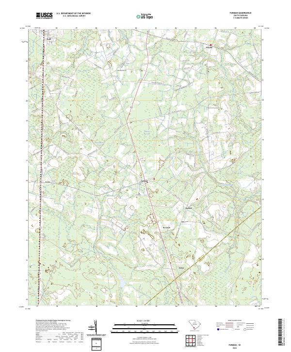 2024 Furman2024 Print · USGSHampton and Jasper Counties appear in recent detail, showing a rural landscape of ponds and creek branches. Genealogists can trace family-named routes and settlements like Deloach Cemetary Rd, Nixville, and Stokes near the Black Swamp.
 - 2024 Map of Gifford, 2024 Print
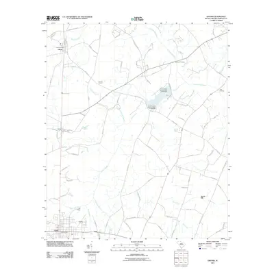
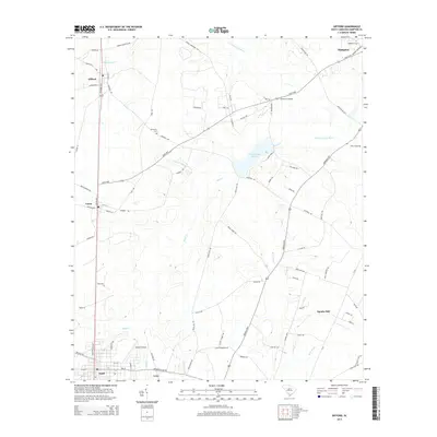
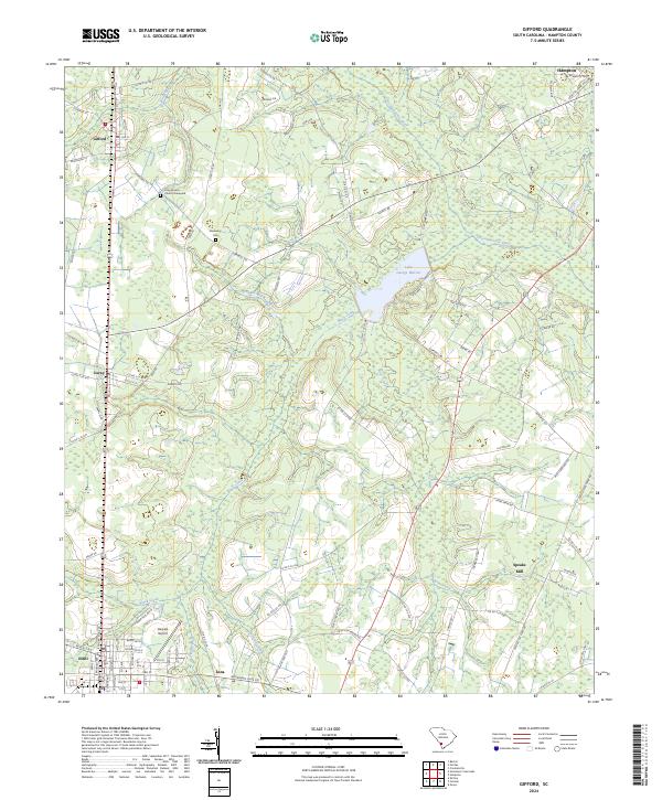 2024 Gifford2024 Print · USGSHampton County's coastal plain is documented here in its contemporary state, showing the enduring rural character of the South Carolina Lowcountry. Genealogists and local historians can trace legacy sites like the Long Branch Church Graveyard, Browning Cem, and the historic location of Speaks Mill.
End of results
Showing maps 1-20 of 20
Top cities near Estill
- Fairfax historical maps
- Hampton historical maps
- Varnville historical maps
- Brunson historical maps
- Furman historical maps
- Scotia historical maps
See more
Frequently asked questions
- What are the different types of historical maps available for Estill?
- What is the oldest map of Estill?
- Where can I purchase historical maps of Estill for my home or office?
- Where can I download high-res historical maps of Estill?
- Are there historical topographic maps available for Estill?
- Is there historical aerial imagery available for Estill?
- Where are historical maps of Estill sourced from?