Old Maps of Conway, South Carolina for Academic Research
Study the evolution of Conway with 33 high-resolution historic maps. Whether you're teaching, researching, or modeling changes in land use, these maps provide essential visual documentation of urban, environmental, and geographic change.
- Analyze long-term change: Track patterns in development, transportation, and natural features.
- Ideal for environmental or urban studies: Support academic projects with primary historical map data.
- Use in the classroom or lab: Educators and researchers rely on these maps to bring historical context to life.
These maps are a powerful tool for teaching, research, and visualizing how Conway has changed over the decades.
Conway, SC maps
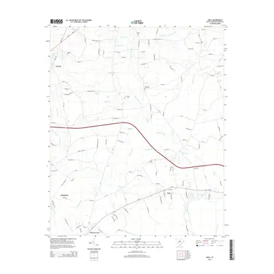
(33)- 1937 Map of Nixonville
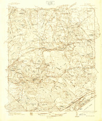 1937 Nixonville1937 Print · USGSCoastal South Carolina is depicted just before the war as a landscape of river landings and rural schoolhouses. Researchers can locate family landmarks like Graham Cem, identify the location of the Chain Gang Shanty, and trace the path of the Atlantic Coast Line.2 unique versions available
 - 1942 Map of Nixonville
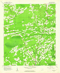
 1942 Nixonville1942 Print · USGSCoastal South Carolina was a landscape of river landings and remote wetlands in the late thirties. Researchers can trace family roots through numerous local landmarks like Hickory Grove Sch, Mt Calvary Ch, and Reeves Log along the Waccamaw River.2 unique versions available
 - 1943 Map of Adrian, 1962 Print
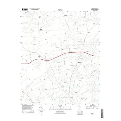
 1943 Adrian1962 Print · USGSCoastal South Carolina is captured here in the early 1940s, showing a world of cypress swamps and railroad hamlets. Researchers can trace the legacy of small communities at Adrian and Homewood, or locate rural landmarks like Mt Aerial Ch and the Old Railroad Grade.2 unique versions available
 - 1943 Map of Conway, 1962 Print
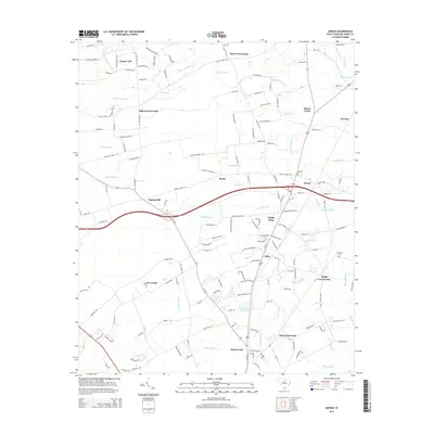
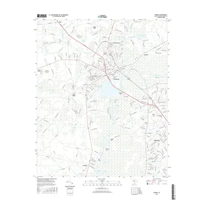
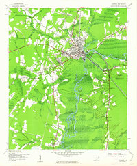 1943 Conway1962 Print · USGSCoastal South Carolina life during the early 1940s is centered here on the river traffic and rail lines of Conway. Genealogists can trace family roots through numerous country landmarks like Savannah Bluff Ch, Toddville, and the Evergreen Sch.3 unique versions available
 - 1944 Map of Adrian
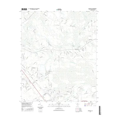
 1944 Adrian1944 Print · USGSHorry County at the height of the Second World War shows a rural landscape of family settlements and swamp-bottom timberlands. Genealogists can trace family roots through the Brown Bay Settlement, Thompson Cem, and numerous schools like Cockran School.
 - 1949 Map of Georgetown, 1953 Print
 1949 Georgetown1953 Print · USGSThe South Carolina coast and North Carolina borderlands appear here in the mid-century, prior to the major modern development of the Grand Strand. Genealogists and historians can trace the rail networks of the Seaboard Air Line Railroad and locate coastal landmarks from Fort Caswell to McClellanville.
 - 1967 Map of Georgetown
 1967 Georgetown1967 Print · USGSThe South Carolina Lowcountry and Grand Strand meet in the late sixties, showcasing a coastal landscape transitioning from river-based industry to seaside tourism. Researchers can trace the Intracoastal Waterway past Georgetown or locate historical sites like Fort Fisher and Murrells Inlet.
 - 1974 Map of Georgetown, 1978 Print
 1974 Georgetown1978 Print · USGSThe Carolina coast and Pee Dee region are shown here in the mid-seventies, just as the Grand Strand was maturing into a premier destination. Researchers can trace the inland rail corridors of the Seaboard Coast Line Railroad or explore the coastal reaches of the Cape Romain National Wildlife Refuge and Myrtle Beach State Park.2 unique versions available
 - 1984 Map of Nixonville
 1984 Nixonville1984 Print · USGSHorry County’s lowcountry landscape is captured here in the mid-1980s, centered on the Waccamaw River and its rural landings. Genealogists can trace local roots through family cemeteries like Price Cem and numerous country churches including Salem Ch and True Vine Ch.
 - 1984 Map of Shell
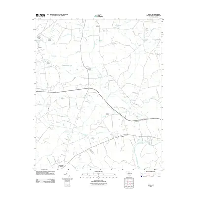
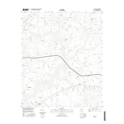
 1984 Shell1984 Print · USGSCoastal South Carolina wetlands and riverfront settlements are frozen in time in the early eighties. Genealogists can trace family landmarks like Cherry Hill Cem and Fox Branch Cem near the banks of Kingston Lake.
 - 1986 Map of Kingstree
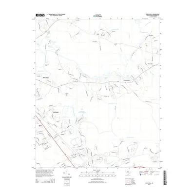
 1986 Kingstree1986 Print · USGSThe South Carolina Lowcountry in the mid-eighties shows a landscape defined by the Black River and the growing coastal communities of the Grand Strand. Researchers can trace historic river settlements and rail stops like Salters Depot, Pamplico, and Hemingway.2 unique versions available
 - 1986 Map of Myrtle Beach
 1986 Myrtle Beach1986 Print · USGSThe Grand Strand and Brunswick County coast are captured in the mid-eighties before the late-century development boom. Researchers can trace the footprint of the Myrtle Beach Air Force Base and old coastal settlements like Atlantic Beach and Socastee.
 - 1990 Map of Myrtle Beach
 1990 Myrtle Beach1990 Print · USGSThe Grand Strand and the North Carolina borderlands are captured here in the decade before the base closure. Genealogists and historians can trace the development of Myrtle Beach and North Myrtle Beach alongside rural landmarks like Star Bluff Crossroads and Fort Caswell.
 - 2011 Map of Nixonville, 2011 Print
 2011 Nixonville2011 Print · USGSCovers Conway, including Carolina Forest, Grahamville, and other nearby areas
 - 2011 Map of Shell, 2011 Print
 2011 Shell2011 Print · USGSCovers Conway, including Howells, Mount Calvary, and other nearby areas
 - 2011 Map of Adrian, 2011 Print
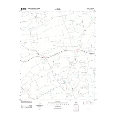 2011 Adrian2011 Print · USGSCovers Conway, including Privetts, Allen, and other nearby areas
 - 2011 Map of Conway, 2011 Print
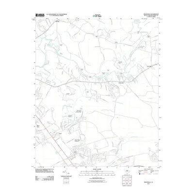
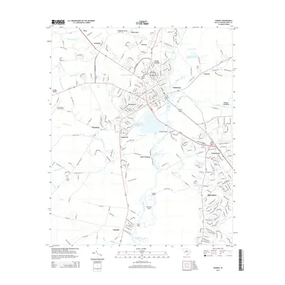
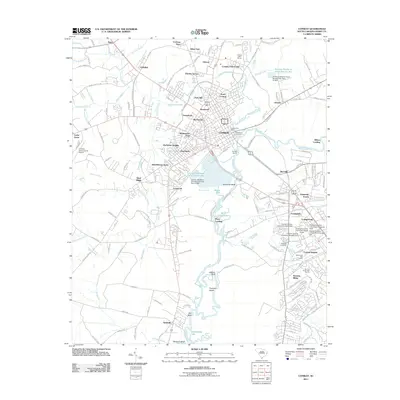 2011 Conway2011 Print · USGSCovers Conway, including Mary, Cochran Town, and other nearby areas
 - 2014 Map of Nixonville, 2014 Print
 2014 Nixonville2014 Print · USGSCovers Conway, including Carolina Forest, Grahamville, and other nearby areas
 - 2014 Map of Shell, 2014 Print
 2014 Shell2014 Print · USGSCovers Conway, including Howells, Mount Calvary, and other nearby areas
 - 2014 Map of Adrian, 2014 Print
 2014 Adrian2014 Print · USGSCovers Conway, including Privetts, Allen, and other nearby areas
 - 2014 Map of Conway, 2014 Print
 2014 Conway2014 Print · USGSCovers Conway, including Mary, Cochran Town, and other nearby areas
 - 2017 Map of Shell, 2017 Print
 2017 Shell2017 Print · USGSCovers Conway, including Howells, Mount Calvary, and other nearby areas
 - 2017 Map of Conway, 2017 Print
 2017 Conway2017 Print · USGSCovers Conway, including Mary, Cochran Town, and other nearby areas
 - 2017 Map of Adrian, 2017 Print
 2017 Adrian2017 Print · USGSCovers Conway, including Privetts, Allen, and other nearby areas
 - 2017 Map of Nixonville, 2017 Print
 2017 Nixonville2017 Print · USGSCovers Conway, including Carolina Forest, Grahamville, and other nearby areas
Showing maps 1-25 of 33
Top cities near Conway
- Myrtle Beach historical maps
- Carolina Forest historical maps
- Surfside Beach historical maps
- Loris historical maps
- Aynor historical maps
Top neighborhoods of Conway
- Wild Wing Plantation historical maps
- North Conway historical maps
- South Conway historical maps
- Mary historical maps
- Aspen Heights historical maps
- Kiskadee Parke historical maps
See more
Frequently asked questions
- What are the different types of historical maps available for Conway?
- What is the oldest map of Conway?
- Where can I purchase historical maps of Conway for my home or office?
- Where can I download high-res historical maps of Conway?
- Are there historical topographic maps available for Conway?
- Is there historical aerial imagery available for Conway?
- Where are historical maps of Conway sourced from?