Old Maps of Garden City, South Carolina for Academic Research
Study the evolution of Garden City with 20 high-resolution historic maps. Whether you're teaching, researching, or modeling changes in land use, these maps provide essential visual documentation of urban, environmental, and geographic change.
- Analyze long-term change: Track patterns in development, transportation, and natural features.
- Ideal for environmental or urban studies: Support academic projects with primary historical map data.
- Use in the classroom or lab: Educators and researchers rely on these maps to bring historical context to life.
These maps are a powerful tool for teaching, research, and visualizing how Garden City has changed over the decades.
Garden City, SC maps
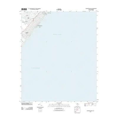
(20)- 1937 Map of Myrtle Beach
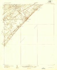 1937 Myrtle Beach1937 Print · USGSThe Grand Strand is seen here in the late 1930s as a developing coastal corridor transitioning from swampy lowlands to a vacation destination. Trace early infrastructure including the Intracoastal Waterway, Myrtle Beach State Park, and the CCC Camp.3 unique versions available
 - 1940 Map of Myrtle Beach
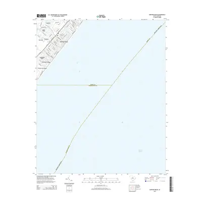
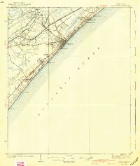 1940 Myrtle Beach1940 Print · USGSBefore the rise of modern resorts, the Grand Strand was a network of swashes and small coastal outposts. Genealogists and historians can trace the early footprints of Socastee, Myrtle Ridge, and the Ocean Forest Club along the historic Kings Highway.3 unique versions available
 - 1943 Map of Brookgreen, 1962 Print
 1943 Brookgreen1962 Print · USGSThe South Carolina Lowcountry comes to life during the early 1940s, showing the intricate wetlands and river landings of the Waccamaw region. Genealogists and historians can trace family locations near Brookgreen Gardens or locate old community hubs like St Peters Ch and Burgess.5 unique versions available
 - 1949 Map of Georgetown, 1953 Print
 1949 Georgetown1953 Print · USGSThe South Carolina coast and North Carolina borderlands appear here in the mid-century, prior to the major modern development of the Grand Strand. Genealogists and historians can trace the rail networks of the Seaboard Air Line Railroad and locate coastal landmarks from Fort Caswell to McClellanville.
 - 1967 Map of Georgetown
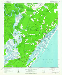
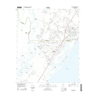
 1967 Georgetown1967 Print · USGSThe South Carolina Lowcountry and Grand Strand meet in the late sixties, showcasing a coastal landscape transitioning from river-based industry to seaside tourism. Researchers can trace the Intracoastal Waterway past Georgetown or locate historical sites like Fort Fisher and Murrells Inlet.
 - 1974 Map of Georgetown, 1978 Print
 1974 Georgetown1978 Print · USGSThe Carolina coast and Pee Dee region are shown here in the mid-seventies, just as the Grand Strand was maturing into a premier destination. Researchers can trace the inland rail corridors of the Seaboard Coast Line Railroad or explore the coastal reaches of the Cape Romain National Wildlife Refuge and Myrtle Beach State Park.2 unique versions available
 - 1984 Map of Surfside Beach, 1985 Print
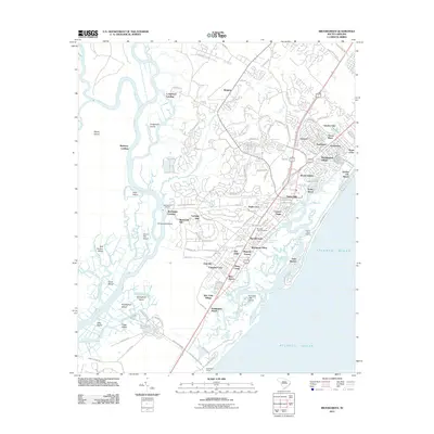
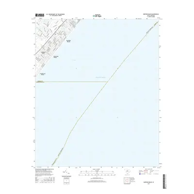
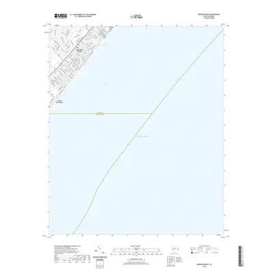
 1984 Surfside Beach1985 Print · USGSThe Grand Strand coastline during the mid-eighties shows a period of rapid residential and resort growth. Trace the development of Surfside Beach and Garden City Beach via landmarks like the Town Hall, Ocean Lakes Family Campground, and the local Pier.2 unique versions available
 - 1986 Map of Kingstree
 1986 Kingstree1986 Print · USGSThe South Carolina Lowcountry in the mid-eighties shows a landscape defined by the Black River and the growing coastal communities of the Grand Strand. Researchers can trace historic river settlements and rail stops like Salters Depot, Pamplico, and Hemingway.2 unique versions available
 - 1986 Map of Myrtle Beach
 1986 Myrtle Beach1986 Print · USGSThe Grand Strand and Brunswick County coast are captured in the mid-eighties before the late-century development boom. Researchers can trace the footprint of the Myrtle Beach Air Force Base and old coastal settlements like Atlantic Beach and Socastee.
 - 1990 Map of Myrtle Beach
 1990 Myrtle Beach1990 Print · USGSThe Grand Strand and the North Carolina borderlands are captured here in the decade before the base closure. Genealogists and historians can trace the development of Myrtle Beach and North Myrtle Beach alongside rural landmarks like Star Bluff Crossroads and Fort Caswell.
 - 2011 Map of Surfside Beach, 2011 Print
 2011 Surfside Beach2011 Print · USGSCovers Garden City, including Surfside Beach, Horry County, and other nearby areas
 - 2011 Map of Brookgreen, 2011 Print
 2011 Brookgreen2011 Print · USGSCovers Garden City, including Garden City Beach, Murrells Inlet, and other nearby areas
 - 2014 Map of Surfside Beach, 2014 Print
 2014 Surfside Beach2014 Print · USGSCovers Garden City, including Surfside Beach, Horry County, and other nearby areas
 - 2014 Map of Brookgreen, 2014 Print
 2014 Brookgreen2014 Print · USGSCovers Garden City, including Garden City Beach, Murrells Inlet, and other nearby areas
 - 2017 Map of Surfside Beach, 2017 Print
 2017 Surfside Beach2017 Print · USGSCovers Garden City, including Surfside Beach, Horry County, and other nearby areas
 - 2017 Map of Brookgreen, 2017 Print
 2017 Brookgreen2017 Print · USGSCovers Garden City, including Garden City Beach, Murrells Inlet, and other nearby areas
 - 2020 Map of Surfside Beach, 2020 Print
 2020 Surfside Beach2020 Print · USGSCovers Garden City, including Surfside Beach, Horry County, and other nearby areas
 - 2020 Map of Brookgreen, 2020 Print
 2020 Brookgreen2020 Print · USGSCovers Garden City, including Garden City Beach, Murrells Inlet, and other nearby areas
 - 2024 Map of Surfside Beach, 2024 Print
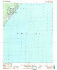
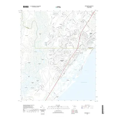
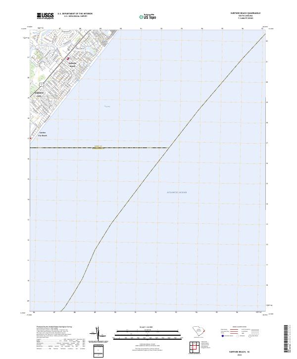 2024 Surfside Beach2024 Print · USGSCoastal communities in Horry and Georgetown counties are captured during a period of dense seaside development. Trace the residential growth from Surfside Beach down to Garden City Beach, noting local landmarks like Dogwood Lake and the expanse of Long Bay.
 - 2024 Map of Brookgreen, 2024 Print
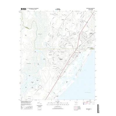
 2024 Brookgreen2024 Print · USGSThe South Carolina coast near Murrells Inlet is captured here in a moment of modern development alongside preserved wetlands. Researchers can trace the layout of residential areas like Garden City or explore the marshy islands of the Waccamaw National Wildlife Refuge.
End of results
Showing maps 1-20 of 20
Top cities near Garden City
- Myrtle Beach historical maps
- Conway historical maps
- Carolina Forest historical maps
- North Myrtle Beach historical maps
- Garden City Beach historical maps
- Murrells Inlet historical maps
See more
Top neighborhoods of Garden City
- Garden City Beach historical maps
- Garden Grove historical maps
- Garden Lakes Village historical maps
- Green Lakes MHP historical maps
- Indian Wells historical maps
- Jamestown historical maps
See more
Frequently asked questions
- What are the different types of historical maps available for Garden City?
- What is the oldest map of Garden City?
- Where can I purchase historical maps of Garden City for my home or office?
- Where can I download high-res historical maps of Garden City?
- Are there historical topographic maps available for Garden City?
- Is there historical aerial imagery available for Garden City?
- Where are historical maps of Garden City sourced from?