Old Maps of Stave Landing, South Carolina for Hiking & Exploration
Hike through history with 10 historic maps of Stave Landing. Explore old trails, ghost towns, and forgotten backroads — perfect for outdoor adventurers and local explorers.
- Rediscover forgotten places: Map out old mining camps, roads, and footpaths that no longer exist on modern maps.
- Layer with modern tools: Combine with LiDAR or satellite views to plan hikes through historical terrain.
- Made for exploration: Popular among hikers, overlanders, and local history lovers.
Use these maps to find adventure and explore the hidden past of Stave Landing.
Stave Landing, SC maps
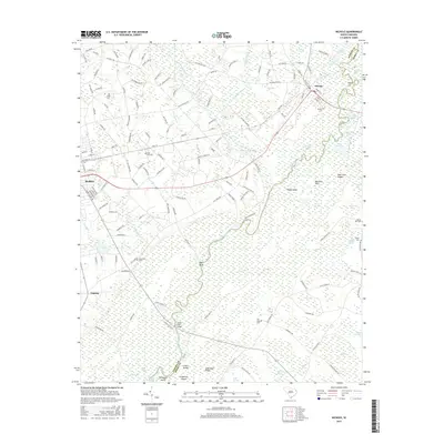
(10)- 1948 Map of Nichols, 1981 Print
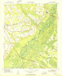
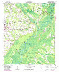 1948 Nichols1981 Print · USGSMarion and Horry counties are shown here at the mid-century, where the Little Pee Dee River meets the Lumber River. Researchers can trace the river economy through historic landings and crossings like Grice Ferry, Pitch Landing, and Sandy Bluff Bridge.
 - 1950 Map of Nichols
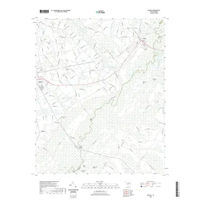
 1950 Nichols1950 Print · USGSIn the mid-twentieth century, the Little Pee Dee River bottomlands shaped the communities of Mullins and Nichols. Local historians can trace early river crossings like Grice Ferry, rural church sites like Mt Zion Ch, and family landmarks across the Big Sand Hills Back Swamp.2 unique versions available
 - 1953 Map of Florence, 1964 Print
 1953 Florence1964 Print · USGSThe Carolina borderlands in the mid-fifties were a landscape of vast river swamps and rising rail towns. Trace the legacy of the Seaboard Air Line through Florence or explore the wetlands surrounding Lake Waccamaw and the Green Swamp.3 unique versions available
 - 1954 Map of Florence
 1954 Florence1954 Print · USGSThe Carolinas borderlands come alive in the early fifties, showing the vital rail-and-river networks of the coastal plain. Genealogists can trace family footprints across the Green Swamp or through settlements like Red Springs, Chadbourn, and McColl.
 - 1983 Map of Florence, 1985 Print
 1983 Florence1985 Print · USGSThe Pee Dee region in the early eighties shows a landscape shaped by river commerce and rail expansion. Researchers can trace historic river crossings at Galivants Ferry or locate vanished rail stops like Willow Creek Siding and Blue Brick.
 - 2011 Map of Nichols, 2011 Print
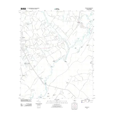 2011 Nichols2011 Print · USGSCovers Stave Landing, including Mullins, Nichols, and other nearby areas
 - 2014 Map of Nichols, 2014 Print
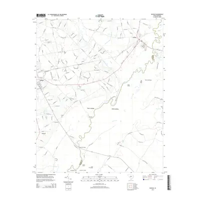 2014 Nichols2014 Print · USGSCovers Stave Landing, including Mullins, Nichols, and other nearby areas
 - 2017 Map of Nichols, 2017 Print
 2017 Nichols2017 Print · USGSCovers Stave Landing, including Mullins, Nichols, and other nearby areas
 - 2020 Map of Nichols, 2020 Print
 2020 Nichols2020 Print · USGSCovers Stave Landing, including Mullins, Nichols, and other nearby areas
 - 2024 Map of Nichols, 2024 Print
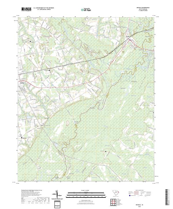 2024 Nichols2024 Print · USGSThe confluence of the Lumber and Little Pee Dee Rivers defines this region as it appeared in the early twenty-first century. Genealogists can locate family burial sites at Gapway Church Graveyard and McMillan Cem, while tracing historical river crossings at Grices Ferry.
End of results
Showing maps 1-10 of 10
Top cities near Stave Landing
- Marion historical maps
- Dillon historical maps
- Mullins historical maps
- Fair Bluff historical maps
- Lake View historical maps
- Aynor historical maps
See more
Frequently asked questions
- What are the different types of historical maps available for Stave Landing?
- What is the oldest map of Stave Landing?
- Where can I purchase historical maps of Stave Landing for my home or office?
- Where can I download high-res historical maps of Stave Landing?
- Are there historical topographic maps available for Stave Landing?
- Is there historical aerial imagery available for Stave Landing?
- Where are historical maps of Stave Landing sourced from?