Old Maps of Newberry, South Carolina
Explore 24 old maps of Newberry, spanning from 1941 to today. These high-resolution historic maps reveal how streets, neighborhoods, landmarks, and natural features evolved over time — perfect for genealogy, metal detecting, research, and local history exploration.
What you can do with these maps:
- See how Newberry changed over time: Compare historical maps to modern-day views to trace roads, homesites, rail lines & more.
- View detailed metadata: Each map includes creators, publishers, year, scale, and archive source.
- Overlay maps with satellite & LiDAR: Visualize the past alongside modern tools to explore terrain & human change.
- Trusted historical sources: Maps sourced from the USGS, Library of Congress, and other archives.
- Access maps your way: View online, download high-res files, or order prints for personal or research use.
Start exploring old maps of Newberry to uncover forgotten places, hidden landmarks, and the deep history beneath your feet.
Newberry, SC maps
(24)- 1941 Map of Spartanburg
 1941 Spartanburg1941 Print · USGSSouth Carolina’s Piedmont and Sandhills regions are shown here during the mid-century peak of the rail era. Researchers can trace the sprawling Fort Jackson Military Reservation and the industrial growth of hubs like Spartanburg and Rock Hill.
 - 1953 Map of Spartanburg, 1966 Print
 1953 Spartanburg1966 Print · USGSMid-century South Carolina comes into focus through this survey of the Piedmont and the Sand Hills at a time of significant reservoir expansion. Researchers can trace the legacy of industrial transit and resource extraction from the Haile Gold Mine to the rail hubs of the Seaboard Air Line.4 unique versions available
 - 1960 Map of Spartanburg
 1960 Spartanburg1960 Print · USGSThe South Carolina Piedmont and North Carolina borderlands come alive in this mid-century survey of the region between Spartanburg and Columbia. Researchers can trace the Seaboard Air Line railroad and explore landmarks like Anderson Quarry, Lake Murray, and Mount Croghan.2 unique versions available
 - 1963 Map of Spartanburg
 1963 Spartanburg1963 Print · USGSMid-century South Carolina comes alive in this survey, showing the rail-linked corridor between the Upstate and the Midlands. Genealogists can trace family lands near old hubs like Union and Lancaster, or along the banks of the Broad River and Pee Dee River.
 - 1964 Map of Spartanburg
 1964 Spartanburg1964 Print · USGSMid-century South Carolina comes alive in this survey of the Piedmont and Upcountry, stretching from the Blue Ridge foothills to the Sandhills. Genealogists and historians can trace the rail-and-river economy through Monarch Mills, Glenn Springs, and the Southern Railway corridor.
 - 1968 Map of Newberry East, 1973 Print
 1968 Newberry East1973 Print · USGSNewberry and the surrounding South Carolina backcountry are captured here in the late sixties as the town expanded near the edge of the Sumter National Forest. Researchers can trace the grounds of Newberry College and find numerous rural landmarks like St Phillips and Bachman Chapel.2 unique versions available
 - 1969 Map of Newberry West, 1973 Print
 1969 Newberry West1973 Print · USGSNewberry and the neighboring rail junction of Helena are shown in the late sixties as the city expanded westward toward the Sumter National Forest. Genealogists and historians can trace family-named churches and rural centers like St James Ch, Smyrna, and the Bush River Community Center.2 unique versions available
 - 1970 Map of Prosperity, 1973 Print
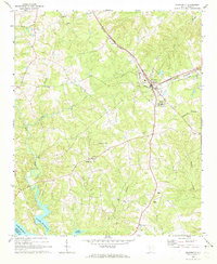 1970 Prosperity1973 Print · USGSNewberry County was a bustling rail and agricultural hub in the early 1970s, centered on the junction at Prosperity. You can trace rural landmarks from the Rikard Sch to numerous historic congregations like St Lukes Ch and Lever Chapel.
 - 1986 Map of Newberry
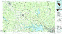 1986 Newberry1986 Print · USGSSouth Carolina's Piedmont region is shown here in the mid-1980s, revealing a landscape of historic crossroads and industrial mill villages. Researchers can trace family roots through landmarks like Lynch Woods Cem, New Hope Church, and the campus of Presbyterian College.2 unique versions available
 - 2011 Map of Newberry West, 2011 Print
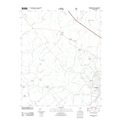 2011 Newberry West2011 Print · USGSThe western reaches of Newberry and Helena are captured here during a period of modern agricultural and industrial transition. Genealogists and local historians can locate many family burial sites including Tranquil and Ross Memorial Gardens, or trace old crossings like Sends Mill Bridge.
 - 2011 Map of Newberry East, 2011 Print
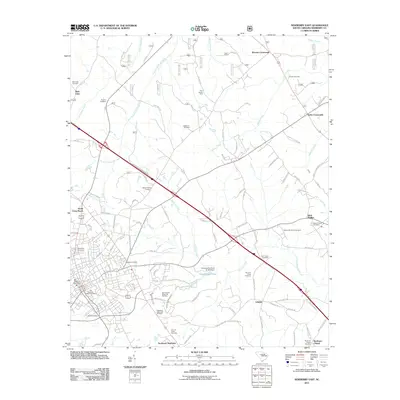 2011 Newberry East2011 Print · USGSThe eastern outskirts of Newberry and its rural surroundings are captured here at the start of the decade. Genealogists can locate family burial plots at the Old Newberry Village Cemetery and trace landmarks like the Four County State Fish Hatchery.
 - 2011 Map of Prosperity, 2011 Print
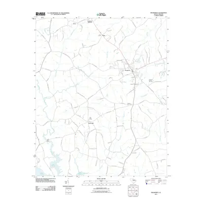 2011 Prosperity2011 Print · USGSThe town of Prosperity and its surrounding Newberry County countryside are shown here in the early twenty-first century as they border the northern reaches of Lake Murray. Local historians can trace family-named landmarks and rural outposts like Stoney Hill, Boyd, and Crofts Mill Bridge.
 - 2014 Map of Newberry East, 2014 Print
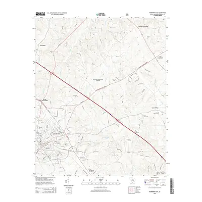 2014 Newberry East2014 Print · USGSNewberry and its surrounding Piedmont landscapes are documented here in the early twenty-first century. Genealogists and historians can trace numerous family and community sites, including Old Newberry Village Cem, Newberry Coll, and the junction at Devils Cross Roads.
 - 2014 Map of Newberry West, 2014 Print
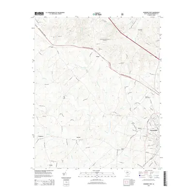 2014 Newberry West2014 Print · USGSThe western outskirts of Newberry and the community of Helena are captured here just after the turn of the millennium. Genealogists can trace family landmarks and local history through numerous burial grounds including Tranquil Cem, Beth Eden Cem, and the historic ONeall Bridge.
 - 2014 Map of Prosperity, 2014 Print
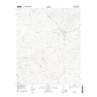 2014 Prosperity2014 Print · USGSNewberry County comes into focus in this early twenty-first-century survey of the town of Prosperity and its surrounding rural church communities. Researchers can trace family sites and local history at Saint Lukes Cem, the community of Stoney Hill, and the northern inlets of Lake Murray.
 - 2017 Map of Prosperity, 2017 Print
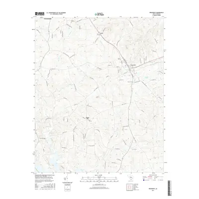 2017 Prosperity2017 Print · USGSNewberry County comes to life in this modern study of the area surrounding the town of Prosperity. Researchers can locate ancestral burial sites like Colony Cem and Shiloh Cem while tracing the local water network from Camping Cr down to Lake Murray.
 - 2017 Map of Newberry East, 2017 Print
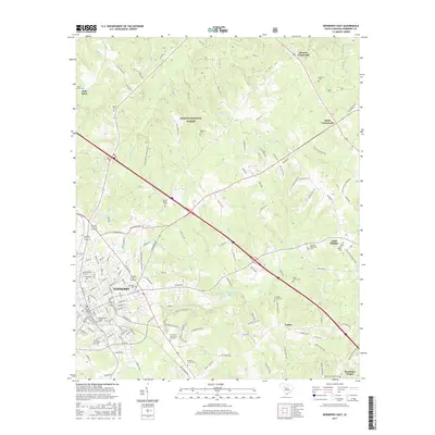 2017 Newberry East2017 Print · USGSNewberry's eastern corridor and its college campus are shown here as they appeared in the late twenty-teens. Researchers can trace historic local burials and crossroads settlements including Old Newberry Village, Beth Eden Cem, and Keitts Crossroads.
 - 2017 Map of Newberry West, 2017 Print
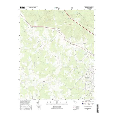 2017 Newberry West2017 Print · USGSNewberry County's western outskirts and the edge of the forest are captured here in the late twenty-tens. Genealogists can locate family sites like Saint James Cem or Ross Memorial Gardens Cem and trace the paths of Bush River and Gilders Cr.
 - 2020 Map of Prosperity, 2020 Print
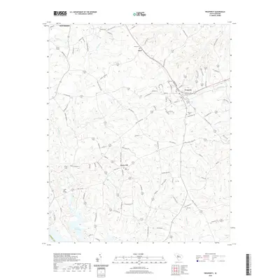 2020 Prosperity2020 Print · USGSThis Newberry County landscape at the start of the 2020s shows the enduring layout of rural South Carolina life around the town of Prosperity. Genealogists and local historians can map out family plots at Colony Cem and Zion Cem, or trace the winding course of the Bush River toward Lake Murray.
 - 2020 Map of Newberry East, 2020 Print
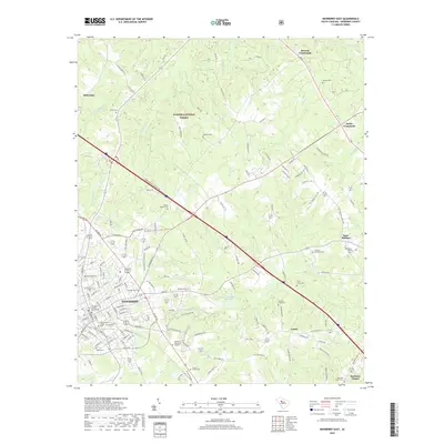 2020 Newberry East2020 Print · USGSNewberry County's eastern frontier and its collegiate center come into focus in this contemporary survey of South Carolina's Piedmont region. Genealogists and historians can trace lineage through dozens of local landmarks like Rosemont Cem, Newberry College, and the quiet settlements at Saint Phillips and Keitts Crossroads.
 - 2020 Map of Newberry West, 2020 Print
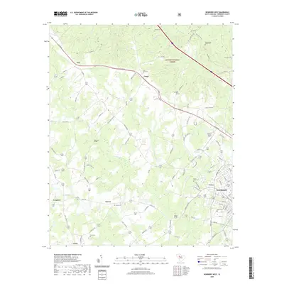 2020 Newberry West2020 Print · USGSWestern Newberry County in the early twenty-first century is a landscape of protected forest and long-established rural settlements. Researchers can trace family sites near Saint James Cem, identify crossings like Sends Mill Bridge, and study the growth around Helena.
 - 2024 Map of Newberry West, 2024 Print
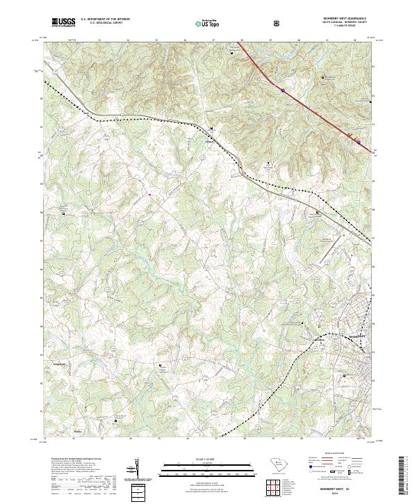 2024 Newberry West2024 Print · USGSThe rural uplands west of Newberry are showcased here in the 2020s, highlighting a landscape where historical churchyards and family homesteads remain central. Trace local lineages at the Smyrna Church Graveyard or explore the woods of the Sumter National Forest.
 - 2024 Map of Newberry East, 2024 Print
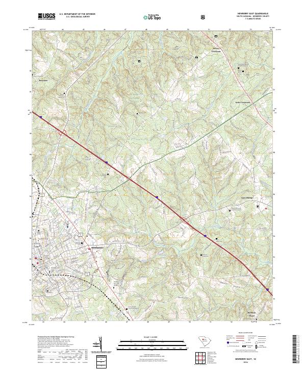 2024 Newberry East2024 Print · USGSThe town of NEWBERRY and its surrounding forest lands are shown here in modern detail, maintaining much of their early South Carolina character. Researchers can locate numerous historic burial grounds and institutions, from Newberry College and Rosemont Cem to the rural Queens Church Graveyard.
 - 2024 Map of Prosperity, 2024 Print
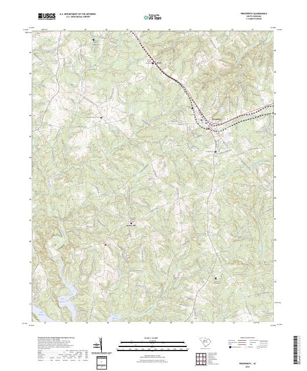 2024 Prosperity2024 Print · USGSNewberry County's crossroads and creek valleys are documented here in the early twenty-first century, showing the rural landscape around Prosperity. Genealogists can locate family burial grounds at Ebenezer Church Graveyard and Saint Lukes Church Graveyard near Stoney Hill.
End of results
Showing maps 1-24 of 24
Top cities near Newberry
- Whitmire historical maps
- Joanna historical maps
- Prosperity historical maps
- Helena historical maps
- Little Mountain historical maps
- Silverstreet historical maps
See more
Top neighborhoods of Newberry
Frequently asked questions
- What are the different types of historical maps available for Newberry?
- What is the oldest map of Newberry?
- Where can I purchase historical maps of Newberry for my home or office?
- Where can I download high-res historical maps of Newberry?
- Are there historical topographic maps available for Newberry?
- Is there historical aerial imagery available for Newberry?
- Where are historical maps of Newberry sourced from?