Old Maps of Sunny Slopes, Boiling Springs for Genealogy
Trace your family roots with 18 historic maps of Sunny Slopes. These high-res maps reveal old neighborhoods, homesites, landmarks, and streets — helping you uncover where your ancestors lived and how the area evolved over time.
- Explore historic neighborhoods: Identify where your relatives may have lived in the 1800s or 1900s.
- Compare maps over time: Trace the changes in streets, buildings, and landmarks for multi-generational research.
- Perfect for genealogy & ancestry research: Used by family historians and researchers to map out lineage and migration.
These maps are an incredible resource for exploring your personal connection to Sunny Slopes's past.
Sunny Slopes, Boiling Springs maps
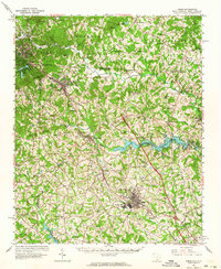
(18)- 1907 Map of Saluda
 1907 Saluda1907 Print · USGSCovers Sunny Slopes, including Greer, Hendersonville, and other nearby areas3 unique versions available
 - 1953 Map of Charlotte, 1968 Print
 1953 Charlotte1968 Print · USGSCovers Sunny Slopes, including Charlotte, Winston-Salem, and other nearby areas3 unique versions available
 - 1954 Map of Charlotte
 1954 Charlotte1954 Print · USGSCovers Sunny Slopes, including Charlotte, Winston-Salem, and other nearby areas2 unique versions available
 - 1955 Map of Knoxville
 1955 Knoxville1955 Print · USGSCovers Sunny Slopes, including Knoxville, Asheville, and other nearby areas
 - 1957 Map of Knoxville, 1966 Print
 1957 Knoxville1966 Print · USGSCovers Sunny Slopes, including Knoxville, Asheville, and other nearby areas4 unique versions available
 - 1959 Map of Cowpens, 1961 Print
 1959 Cowpens1961 Print · USGSCovers Sunny Slopes, including Cowpens, Chesnee, and other nearby areas2 unique versions available
 - 1960 Map of Knoxville
 1960 Knoxville1960 Print · USGSCovers Sunny Slopes, including Knoxville, Asheville, and other nearby areas2 unique versions available
 - 1960 Map of Charlotte
 1960 Charlotte1960 Print · USGSCovers Sunny Slopes, including Charlotte, Winston-Salem, and other nearby areas2 unique versions available
 - 1961 Map of Inman, 1964 Print
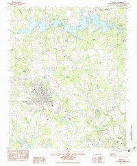
 1961 Inman1964 Print · USGSCovers Sunny Slopes, including Inman, Landrum, and other nearby areas
 - 1962 Map of Charlotte
 1962 Charlotte1962 Print · USGSCovers Sunny Slopes, including Charlotte, Winston-Salem, and other nearby areas
 - 1964 Map of Knoxville
 1964 Knoxville1964 Print · USGSCovers Sunny Slopes, including Knoxville, Asheville, and other nearby areas
 - 1983 Map of Inman
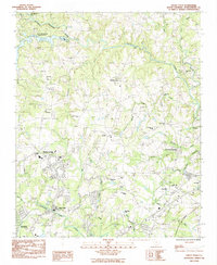
 1983 Inman1983 Print · USGSCovers Sunny Slopes, including Inman, Boiling Springs, and other nearby areas
 - 1983 Map of Valley Falls
 1983 Valley Falls1983 Print · USGSCovers Sunny Slopes, including Boiling Springs, Cherokee Springs, and other nearby areas
 - 1986 Map of Hendersonville
 1986 Hendersonville1986 Print · USGSCovers Sunny Slopes, including Asheville, Greer, and other nearby areas2 unique versions available
 - 1986 Map of Gastonia
 1986 Gastonia1986 Print · USGSCovers Sunny Slopes, including Charlotte, Rock Hill, and other nearby areas
 - 1991 Map of Gastonia
 1991 Gastonia1991 Print · USGSCovers Sunny Slopes, including Charlotte, Rock Hill, and other nearby areas
 - 2024 Map of Inman, 2024 Print
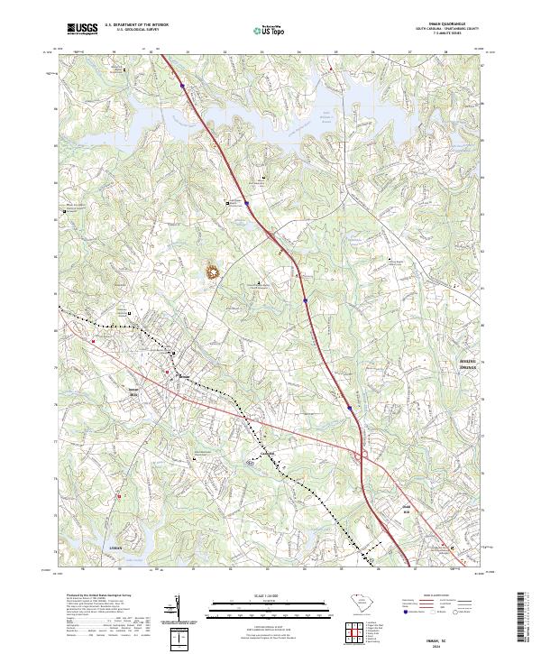 2024 Inman2024 Print · USGSCovers Sunny Slopes, including Inman, North Ridge, and other nearby areas
 - 2024 Map of Valley Falls, 2024 Print
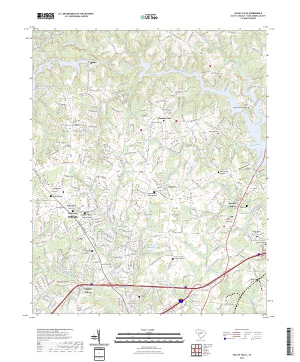 2024 Valley Falls2024 Print · USGSCovers Sunny Slopes, including Cherokee Springs, Fosters Grove, and other nearby areas
End of results
Showing maps 1-18 of 18
Frequently asked questions
- What are the different types of historical maps available for Sunny Slopes?
- What is the oldest map of Sunny Slopes?
- Where can I purchase historical maps of Sunny Slopes for my home or office?
- Where can I download high-res historical maps of Sunny Slopes?
- Are there historical topographic maps available for Sunny Slopes?
- Is there historical aerial imagery available for Sunny Slopes?
- Where are historical maps of Sunny Slopes sourced from?