2000s (21st Century) Maps of Pacolet, South Carolina
Explore 10 historic maps of Pacolet from the 2000s (21st Century). These maps offer a rare glimpse into what life looked like during the 2000s — showing old roads, neighborhoods, homes, and landmarks that have changed or disappeared over time.
Whether you're researching your family's past, planning a metal detecting trip, or studying how Pacolet's landscape evolved across the 2000s, these high-resolution maps are a powerful tool for exploring the history of this region.
- Focus on a specific era: All maps on this page are from the 2000s, giving you a focused view of this time period.
- See what’s changed: Compare century-old streets, trails, and buildings to today's modern landscape using overlays and satellite layers.
- Research with precision: Use these maps for genealogy, historical research, land use analysis, or educational projects.
- View, download, or print: Maps are fully viewable online in high resolution, and can be downloaded or printed for your own records.
Start exploring Pacolet's history through authentic maps from the 2000s. This is your window into the past.
Pacolet, SC maps
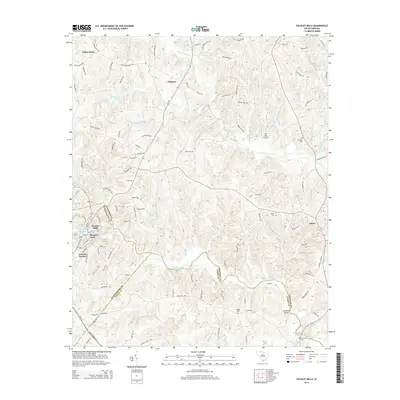
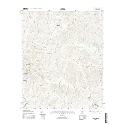
(10)- 2011 Map of Pacolet Mills, 2011 Print
 2011 Pacolet Mills2011 Print · USGSCovers Pacolet, including Central Pacolet, Asbury, and other nearby areas
 - 2011 Map of Pacolet, 2011 Print
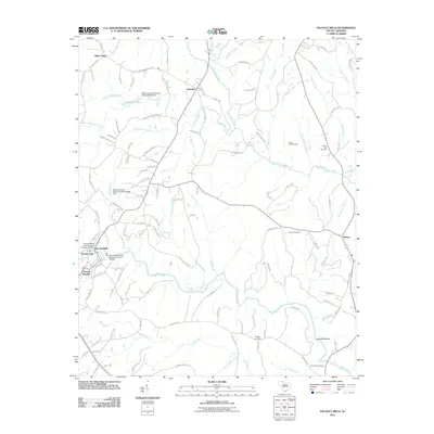
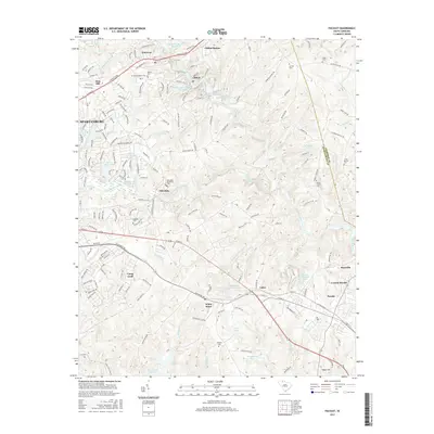
 2011 Pacolet2011 Print · USGSCovers Pacolet, including Spartanburg, Calico, and other nearby areas
 - 2014 Map of Pacolet Mills, 2014 Print
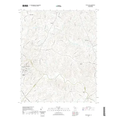
 2014 Pacolet Mills2014 Print · USGSCovers Pacolet, including Central Pacolet, Asbury, and other nearby areas
 - 2014 Map of Pacolet, 2014 Print
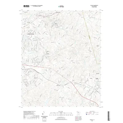
 2014 Pacolet2014 Print · USGSCovers Pacolet, including Spartanburg, Calico, and other nearby areas
 - 2017 Map of Pacolet, 2017 Print
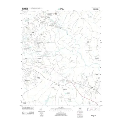
 2017 Pacolet2017 Print · USGSCovers Pacolet, including Spartanburg, Calico, and other nearby areas
 - 2017 Map of Pacolet Mills, 2017 Print
 2017 Pacolet Mills2017 Print · USGSCovers Pacolet, including Central Pacolet, Asbury, and other nearby areas
 - 2020 Map of Pacolet, 2020 Print
 2020 Pacolet2020 Print · USGSCovers Pacolet, including Spartanburg, Calico, and other nearby areas
 - 2020 Map of Pacolet Mills, 2020 Print
 2020 Pacolet Mills2020 Print · USGSCovers Pacolet, including Central Pacolet, Asbury, and other nearby areas
 - 2024 Map of Pacolet Mills, 2024 Print
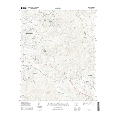
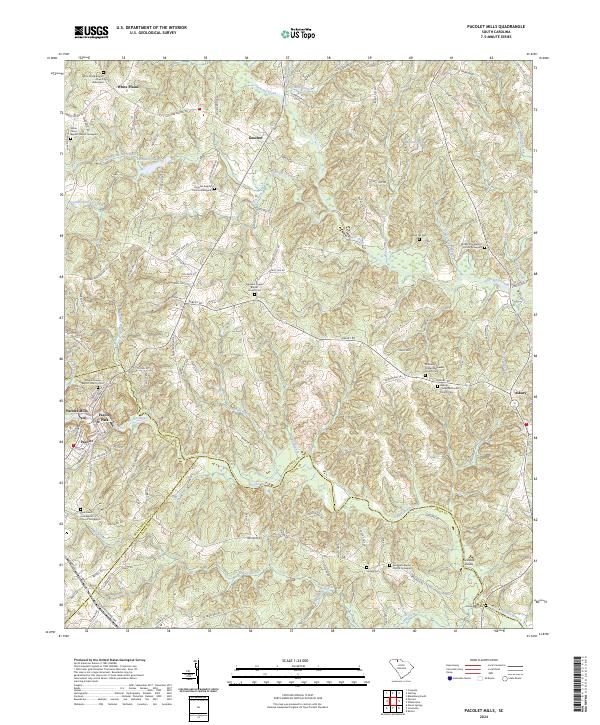 2024 Pacolet Mills2024 Print · USGSCherokee County at the junction of Spartanburg and Union counties shows a landscape defined by the Pacolet River and deep family roots. Researchers can trace ancestral sites at Whig Hill Cemetery, Grindall Shoals, and Pacolet Mills.
 - 2024 Map of Pacolet, 2024 Print
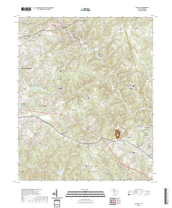 2024 Pacolet2024 Print · USGSThe river valleys of Spartanburg County are shown in great detail here, centering on the historic textile and rail hubs of Pacolet and Glendale. Researchers can trace local lineages through dozens of family and church sites like the Hammett Family Cem and Zion Hill Baptist Church.
End of results
Showing maps 1-10 of 10
Top cities near Pacolet
- Spartanburg historical maps
- Gaffney historical maps
- Union historical maps
- Roebuck historical maps
- Cowpens historical maps
- Jonesville historical maps
See more
Top neighborhoods of Pacolet
- Maryville historical maps
- Pacolet Mills historical maps
- Central Pacolet historical maps
- Woodland Park historical maps
Frequently asked questions
- What are the different types of historical maps available for Pacolet?
- What is the oldest map of Pacolet?
- Where can I purchase historical maps of Pacolet for my home or office?
- Where can I download high-res historical maps of Pacolet?
- Are there historical topographic maps available for Pacolet?
- Is there historical aerial imagery available for Pacolet?
- Where are historical maps of Pacolet sourced from?