Old Maps of Mouzon, South Carolina
Explore 11 old maps of Mouzon, spanning from 1946 to today. These high-resolution historic maps reveal how streets, neighborhoods, landmarks, and natural features evolved over time — perfect for genealogy, metal detecting, research, and local history exploration.
What you can do with these maps:
- See how Mouzon changed over time: Compare historical maps to modern-day views to trace roads, homesites, rail lines & more.
- View detailed metadata: Each map includes creators, publishers, year, scale, and archive source.
- Overlay maps with satellite & LiDAR: Visualize the past alongside modern tools to explore terrain & human change.
- Trusted historical sources: Maps sourced from the USGS, Library of Congress, and other archives.
- Access maps your way: View online, download high-res files, or order prints for personal or research use.
Start exploring old maps of Mouzon to uncover forgotten places, hidden landmarks, and the deep history beneath your feet.
Mouzon, SC maps
(11)- 1946 Map of Kingstree
 1946 Kingstree1946 Print · USGSWilliamsburg County just after the war shows a landscape of riverine settlements and vital rail lines centered on Kingstree. Genealogists and historians can trace numerous rural congregations and schoolhouses, from Dickey Chapel and Lane Chapel to the Central Sch near Salters Depot.
 - 1949 Map of Georgetown, 1953 Print
 1949 Georgetown1953 Print · USGSThe South Carolina coast and North Carolina borderlands appear here in the mid-century, prior to the major modern development of the Grand Strand. Genealogists and historians can trace the rail networks of the Seaboard Air Line Railroad and locate coastal landmarks from Fort Caswell to McClellanville.
 - 1967 Map of Georgetown
 1967 Georgetown1967 Print · USGSThe South Carolina Lowcountry and Grand Strand meet in the late sixties, showcasing a coastal landscape transitioning from river-based industry to seaside tourism. Researchers can trace the Intracoastal Waterway past Georgetown or locate historical sites like Fort Fisher and Murrells Inlet.
 - 1974 Map of Georgetown, 1978 Print
 1974 Georgetown1978 Print · USGSThe Carolina coast and Pee Dee region are shown here in the mid-seventies, just as the Grand Strand was maturing into a premier destination. Researchers can trace the inland rail corridors of the Seaboard Coast Line Railroad or explore the coastal reaches of the Cape Romain National Wildlife Refuge and Myrtle Beach State Park.2 unique versions available
 - 1986 Map of Kingstree
 1986 Kingstree1986 Print · USGSThe South Carolina Lowcountry in the mid-eighties shows a landscape defined by the Black River and the growing coastal communities of the Grand Strand. Researchers can trace historic river settlements and rail stops like Salters Depot, Pamplico, and Hemingway.2 unique versions available
 - 1990 Map of Workman
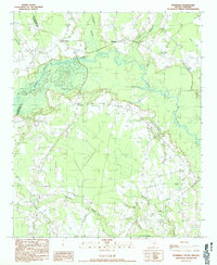 1990 Workman1990 Print · USGSWilliamsburg and Clarendon counties meet along the winding Black River in this early 1980s survey of the South Carolina Lowcountry. Genealogists and historians can trace family lands near Workman, Mouzon, and the many wetlands like Pudding Swamp.
 - 2011 Map of Workman, 2011 Print
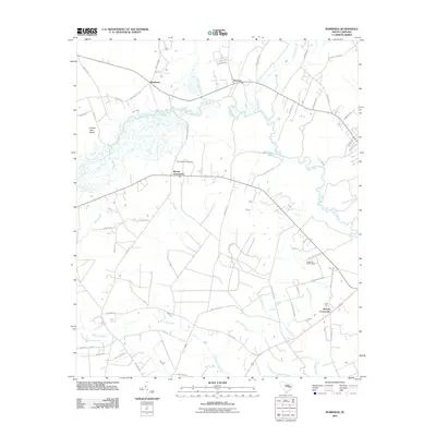 2011 Workman2011 Print · USGSWilliamsburg County's wetlands and crossroads are documented in detail during the early twenty-first century. Genealogists and local historians can trace family-named routes and landmarks near Martins Crossroads, Mount Vernon Cemetery, and the Black River.
 - 2014 Map of Workman, 2014 Print
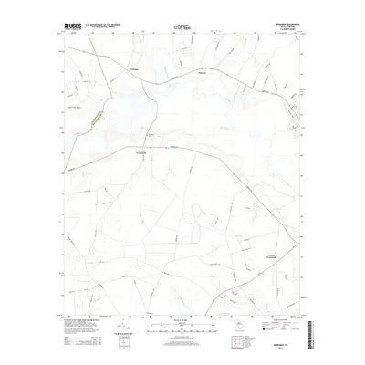 2014 Workman2014 Print · USGSThe rural interior of Williamsburg County comes into focus in the early 2010s, where the Black River meets vast wetlands. Genealogists and local historians can trace the vicinity of Martins Crossroads, Mt Vernon Cem, and the settlement at Mouzon.
 - 2017 Map of Workman, 2017 Print
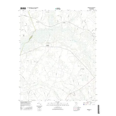 2017 Workman2017 Print · USGSWilliamsburg and Clarendon counties are captured here in the late twenty-tens, showing a landscape deeply tied to the Black River and its surrounding wetlands. Genealogists and local historians can trace the rural layout of Martins Crossroads, Workman, and the grounds of Mount Vernon Cem.
 - 2020 Map of Workman, 2020 Print
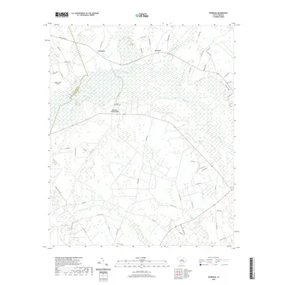 2020 Workman2020 Print · USGSWilliamsburg County's riverine landscape is captured here in the contemporary era, centered on the rural junctions of Martins Crossroads and Workman. Researchers can trace old family landmarks and local transit routes near Mount Vernon Cem and the extensive wetlands of Pudding Swamp.
 - 2024 Map of Workman, 2024 Print
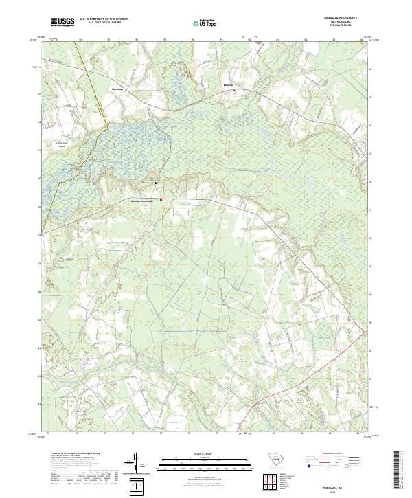 2024 Workman2024 Print · USGSThe rural lowlands of Williamsburg County are captured here in the 2020s, showing a landscape defined by the winding Black River. Genealogists and local historians can trace the sites of Mount Vernon Church Graveyard, the crossroads at Workman, and the wetlands of Conyers Bay.
End of results
Showing maps 1-11 of 11
Top cities near Mouzon
- Lake City historical maps
- Kingstree historical maps
- Scranton historical maps
- Turbeville historical maps
- Coward historical maps
- Olanta historical maps
See more
Frequently asked questions
- What are the different types of historical maps available for Mouzon?
- What is the oldest map of Mouzon?
- Where can I purchase historical maps of Mouzon for my home or office?
- Where can I download high-res historical maps of Mouzon?
- Are there historical topographic maps available for Mouzon?
- Is there historical aerial imagery available for Mouzon?
- Where are historical maps of Mouzon sourced from?